Estimated Value: $821,000 - $1,117,000
3
Beds
3
Baths
2,496
Sq Ft
$390/Sq Ft
Est. Value
About This Home
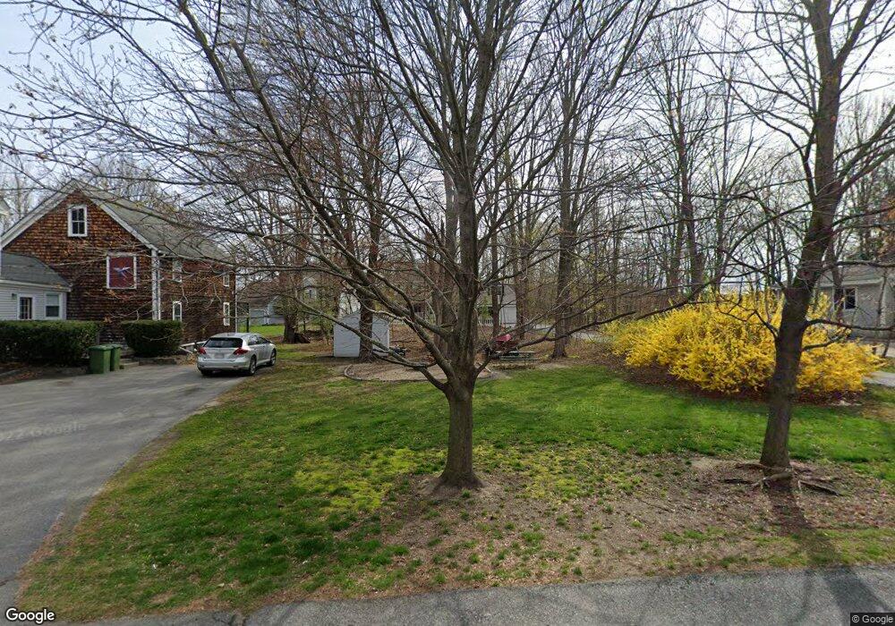
This home is located at 41 Spruce St, Acton, MA 01720 and is currently estimated at $973,304, approximately $389 per square foot. 41 Spruce St is a home located in Middlesex County with nearby schools including Acton-Boxborough Regional High School and The Imago School.
Ownership History
Date
Name
Owned For
Owner Type
Purchase Details
Closed on
Sep 18, 1998
Sold by
John J Flannery Inc
Bought by
Flannery Edward W
Current Estimated Value
Home Financials for this Owner
Home Financials are based on the most recent Mortgage that was taken out on this home.
Original Mortgage
$105,000
Outstanding Balance
$22,429
Interest Rate
6.9%
Mortgage Type
Purchase Money Mortgage
Estimated Equity
$950,875
Create a Home Valuation Report for This Property
The Home Valuation Report is an in-depth analysis detailing your home's value as well as a comparison with similar homes in the area
Home Values in the Area
Average Home Value in this Area
Purchase History
| Date | Buyer | Sale Price | Title Company |
|---|---|---|---|
| Flannery Edward W | $151,000 | -- |
Source: Public Records
Mortgage History
| Date | Status | Borrower | Loan Amount |
|---|---|---|---|
| Open | Flannery Edward W | $105,000 |
Source: Public Records
Tax History Compared to Growth
Tax History
| Year | Tax Paid | Tax Assessment Tax Assessment Total Assessment is a certain percentage of the fair market value that is determined by local assessors to be the total taxable value of land and additions on the property. | Land | Improvement |
|---|---|---|---|---|
| 2025 | $15,747 | $918,200 | $272,500 | $645,700 |
| 2024 | $14,593 | $875,400 | $272,500 | $602,900 |
| 2023 | $14,271 | $812,700 | $247,700 | $565,000 |
| 2022 | $13,457 | $691,900 | $215,300 | $476,600 |
| 2021 | $13,386 | $661,700 | $199,500 | $462,200 |
| 2020 | $12,606 | $655,200 | $199,500 | $455,700 |
| 2019 | $11,994 | $619,200 | $199,500 | $419,700 |
| 2018 | $11,742 | $605,900 | $199,500 | $406,400 |
| 2017 | $11,691 | $613,400 | $199,500 | $413,900 |
| 2016 | $11,400 | $592,800 | $199,500 | $393,300 |
| 2015 | $11,163 | $586,000 | $199,500 | $386,500 |
| 2014 | $10,664 | $548,300 | $199,500 | $348,800 |
Source: Public Records
Map
Nearby Homes
- 285 Central St Unit 285
- 5 Elm St Unit 1
- 116 Windsor Ave
- 92 Willow St Unit 3
- 92 Willow St Unit 2
- 90 Willow St Unit 1
- 4,7,8 Crestwood Ln
- 246 Main St Unit 2
- 4 Huron Rd
- 7 Kelley Rd
- 19 Railroad St Unit D2
- 19 Railroad St Unit C2
- 131 Main St
- 129 Main St Unit 129
- 11 Braebrook
- 46 Taylor Rd
- 71 Liberty St
- 40 High St
- 70 River St
- 33 Meadowbrook Rd
- 61 Spruce St
- 51 Spruce St
- 39 Spruce St
- 211 Arlington St
- 219 Arlington St
- 219 Arlington St Unit 219
- 35 Spruce St
- 221 Arlington St
- 221 Arlington St Unit 221
- 221 Arlington St Unit 1
- 221 Arlington St Unit 2
- 223 Arlingnton St Unit 221
- 221 Arlingnton St Unit 221
- 217 Arlington St
- 215 Arlington St
- 215 Arlington St Unit 2
- 205 Arlington St
- 227 Arlington St
- 70 Spruce St
- 70 Spruce St Unit 70