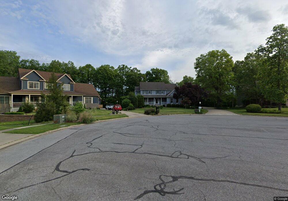
41 Stonegate Ct Valparaiso, IN 46385
Porter County NeighborhoodEstimated Value: $419,475 - $464,000
4
Beds
3
Baths
2,480
Sq Ft
$180/Sq Ft
Est. Value
About This Home
This home is located at 41 Stonegate Ct, Valparaiso, IN 46385 and is currently estimated at $447,119, approximately $180 per square foot. 41 Stonegate Ct is a home located in Porter County with nearby schools including Liberty Elementary School, Liberty Intermediate School, and Chesterton Middle School.
Ownership History
Date
Name
Owned For
Owner Type
Purchase Details
Closed on
Feb 5, 2009
Sold by
Ness Robert S and Ness Marlene
Bought by
Ness Robert S and Ness Marlene F
Current Estimated Value
Home Financials for this Owner
Home Financials are based on the most recent Mortgage that was taken out on this home.
Original Mortgage
$76,700
Outstanding Balance
$47,103
Interest Rate
5.06%
Mortgage Type
New Conventional
Estimated Equity
$400,016
Purchase Details
Closed on
Mar 17, 2008
Sold by
Sunkel Morris A and Estate Of Joseph Kenaga
Bought by
Mta Llc
Create a Home Valuation Report for This Property
The Home Valuation Report is an in-depth analysis detailing your home's value as well as a comparison with similar homes in the area
Home Values in the Area
Average Home Value in this Area
Purchase History
| Date | Buyer | Sale Price | Title Company |
|---|---|---|---|
| Ness Robert S | -- | Indiana Title Network Co | |
| Mta Llc | -- | None Available |
Source: Public Records
Mortgage History
| Date | Status | Borrower | Loan Amount |
|---|---|---|---|
| Open | Ness Robert S | $76,700 |
Source: Public Records
Tax History
| Year | Tax Paid | Tax Assessment Tax Assessment Total Assessment is a certain percentage of the fair market value that is determined by local assessors to be the total taxable value of land and additions on the property. | Land | Improvement |
|---|---|---|---|---|
| 2025 | $3,455 | $440,300 | $65,300 | $375,000 |
| 2024 | $3,327 | $423,500 | $60,700 | $362,800 |
| 2023 | $3,187 | $410,900 | $57,500 | $353,400 |
| 2022 | $2,814 | $344,100 | $57,500 | $286,600 |
| 2021 | $2,578 | $319,000 | $57,500 | $261,500 |
| 2020 | $2,540 | $308,000 | $49,000 | $259,000 |
| 2019 | $2,548 | $296,600 | $49,000 | $247,600 |
| 2018 | $2,488 | $294,800 | $49,000 | $245,800 |
| 2017 | $2,242 | $277,500 | $49,000 | $228,500 |
| 2016 | $2,229 | $275,400 | $116,600 | $158,800 |
| 2014 | $2,032 | $255,000 | $117,800 | $137,200 |
| 2013 | -- | $255,000 | $117,800 | $137,200 |
Source: Public Records
Map
Nearby Homes
- 22 Covington Dr
- 0 Stonegate Dr
- 8 W Shakespeare Dr
- 885 N 100 W
- 17 Browning Ln
- 17 E 900 N
- 897 Jane Ave
- 46 Elderberry Ln
- 44 Elderberry Ln
- 51 Elderberry Ln
- 54 Elderberry Ln
- 50 Elderberry Ln
- 53 Elderberry Ln
- 35 Elderberry Ln
- 55 Elderberry Ln
- 831 Opal Dr
- 140 Lexington St
- 34 Karner Blue Ct
- 36 Karner Blue Ct
- 40 Karner Blue Ct
- 39 Stonegate Ct
- 43 Stonegate Ct
- 37 Stonegate Ct
- 45 Stonegate Ct
- 44 Stonegate Ct
- 35 Stonegate Dr
- 40 Stonegate Ct
- 42 Stonegate Ct
- 42 Stonegate Ct
- 38 Covington Dr
- 38 Covington Dr
- 34 Stonegate Dr
- 37 Covington Dr
- 36 Covington Dr
- 29 Stonegate Dr
- 32 Stonegate Dr
- 35 Covington Dr
- 34 Covington Dr
- 30 Stonegate Dr
- 33 Covington Dr
Your Personal Tour Guide
Ask me questions while you tour the home.