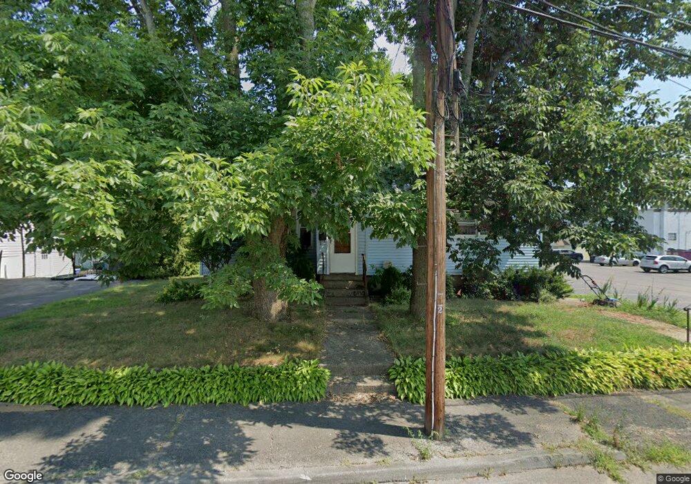
41 Suffolk St Bellingham, MA 02019
3
Beds
1
Bath
1,040
Sq Ft
0.3
Acres
About This Home
This home is located at 41 Suffolk St, Bellingham, MA 02019. 41 Suffolk St is a home located in Norfolk County with nearby schools including Joseph F. DiPietro Elementary, Bellingham High School, and Rise Prep Mayoral Academy Middle School.
Ownership History
Date
Name
Owned For
Owner Type
Purchase Details
Closed on
Feb 27, 2008
Sold by
Lahousse John M and Lahousse Lynn G
Bought by
Lahousse Family Enter
Home Financials for this Owner
Home Financials are based on the most recent Mortgage that was taken out on this home.
Original Mortgage
$955,000
Outstanding Balance
$596,863
Interest Rate
5.8%
Mortgage Type
Commercial
Purchase Details
Closed on
Aug 5, 2004
Sold by
Perkins Ann and Perkins Dennis
Bought by
Lahousse John M and Lahousse Lynn G
Home Financials for this Owner
Home Financials are based on the most recent Mortgage that was taken out on this home.
Original Mortgage
$350,000
Interest Rate
6.2%
Mortgage Type
Commercial
Purchase Details
Closed on
Jan 3, 1996
Sold by
Rouleau Robert S
Bought by
Perkins Dennis and Perkins Ann
Home Financials for this Owner
Home Financials are based on the most recent Mortgage that was taken out on this home.
Original Mortgage
$99,275
Interest Rate
7.34%
Mortgage Type
Commercial
Create a Home Valuation Report for This Property
The Home Valuation Report is an in-depth analysis detailing your home's value as well as a comparison with similar homes in the area
Home Values in the Area
Average Home Value in this Area
Purchase History
| Date | Buyer | Sale Price | Title Company |
|---|---|---|---|
| Lahousse Family Enter | $310,000 | -- | |
| Lahousse John M | $330,000 | -- | |
| Perkins Dennis | $104,500 | -- |
Source: Public Records
Mortgage History
| Date | Status | Borrower | Loan Amount |
|---|---|---|---|
| Open | Lahousse Family Enter | $955,000 | |
| Previous Owner | Lahousse John M | $350,000 | |
| Previous Owner | Perkins Dennis | $99,275 |
Source: Public Records
Tax History Compared to Growth
Tax History
| Year | Tax Paid | Tax Assessment Tax Assessment Total Assessment is a certain percentage of the fair market value that is determined by local assessors to be the total taxable value of land and additions on the property. | Land | Improvement |
|---|---|---|---|---|
| 2025 | -- | $327,900 | $125,200 | $202,700 |
| 2024 | -- | $307,600 | $114,300 | $193,300 |
| 2023 | $0 | $292,300 | $108,900 | $183,400 |
| 2022 | $0 | $263,800 | $90,800 | $173,000 |
| 2021 | $0 | $249,400 | $90,800 | $158,600 |
| 2020 | $4,269 | $236,300 | $90,800 | $145,500 |
| 2019 | $0 | $231,300 | $90,800 | $140,500 |
| 2018 | $0 | $210,900 | $88,300 | $122,600 |
| 2017 | $0 | $207,200 | $88,300 | $118,900 |
| 2016 | -- | $195,000 | $90,600 | $104,400 |
| 2015 | -- | $189,500 | $87,800 | $101,700 |
| 2014 | -- | $196,300 | $92,500 | $103,800 |
Source: Public Records
Map
Nearby Homes
- 51 Suffolk St
- 61 Suffolk St
- 61 Suffolk St Unit 2
- 10 Essex St
- 10 Essex St Unit 2
- 30 Suffolk St Unit 2
- 30 Suffolk St
- 30 Suffolk St Unit 2
- 20 Essex St
- 10 Suffolk St
- 71 Suffolk St
- 170 Pulaski Blvd
- 180 Pulaski Blvd
- 31 Norfolk St
- 160 Pulaski Blvd
- 50 Suffolk St
- 81 Suffolk St
- 21 Essex St
- 21 Essex St Unit 21
- 11 Essex St