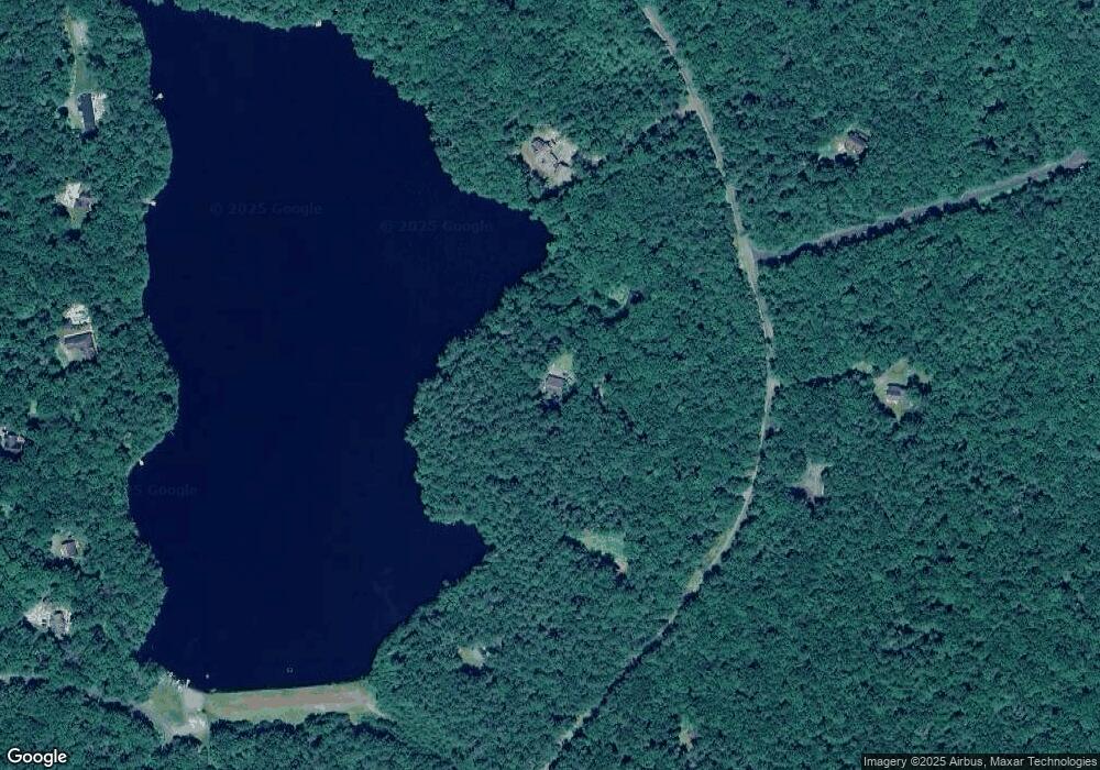
(41) Summit Dr Highland, NY 12792
Estimated Value: $471,000 - $664,404
1
Bed
1
Bath
1,597
Sq Ft
$349/Sq Ft
Est. Value
About This Home
This home is located at (41) Summit Dr, Highland, NY 12792 and is currently estimated at $557,801, approximately $349 per square foot. (41) Summit Dr is a home located in Sullivan County.
Ownership History
Date
Name
Owned For
Owner Type
Purchase Details
Closed on
Nov 27, 1999
Sold by
Mckean Gibson
Bought by
Pollard Paul
Current Estimated Value
Create a Home Valuation Report for This Property
The Home Valuation Report is an in-depth analysis detailing your home's value as well as a comparison with similar homes in the area
Home Values in the Area
Average Home Value in this Area
Purchase History
| Date | Buyer | Sale Price | Title Company |
|---|---|---|---|
| Pollard Paul | $75,000 | Andrew Boyar |
Source: Public Records
Tax History Compared to Growth
Tax History
| Year | Tax Paid | Tax Assessment Tax Assessment Total Assessment is a certain percentage of the fair market value that is determined by local assessors to be the total taxable value of land and additions on the property. | Land | Improvement |
|---|---|---|---|---|
| 2024 | $9,097 | $305,500 | $166,275 | $139,225 |
| 2023 | $9,158 | $305,500 | $166,275 | $139,225 |
| 2022 | $9,165 | $305,500 | $166,275 | $139,225 |
| 2021 | $9,127 | $305,500 | $166,275 | $139,225 |
| 2020 | $8,728 | $300,000 | $166,275 | $133,725 |
| 2019 | $8,788 | $300,000 | $166,275 | $133,725 |
| 2018 | $8,874 | $300,000 | $166,275 | $133,725 |
| 2017 | $8,788 | $300,000 | $166,275 | $133,725 |
| 2016 | $8,724 | $300,000 | $166,275 | $133,725 |
| 2015 | -- | $300,000 | $166,275 | $133,725 |
| 2014 | -- | $300,000 | $166,275 | $133,725 |
Source: Public Records
Map
Nearby Homes
- 27 Woods Rd
- 30 Park Road Extension
- 49 Park Rd
- Lot 8.4 Beaver Brook Rd
- Lot 20.22 Woods Rd
- 0 Irishtown Rd Unit KEY872480
- 126 Tusten Mountain Lake Rd
- 259 Lackawaxen Rd
- 253 York Lake Estates Rd
- 2 Bodine Lake Rd
- 229 Eldred Yulan Rd
- 3 Perry Rd
- 12 Summit Dr
- 173 Yulan Barryville Rd
- 180 Yulan Barryville Rd
- 191 Airport Rd
- Lot 20 Park Ln
- 160 Yulan Barryville Rd
- 0 Eldred-Yulan Rd Unit KEYH6315244
- 13 Corkscrew Rd
- 00 Bungalow Hill
- (6.9) Route 97
- (12.1) Airport Rd
- 0 Washington Lake Rd Unit KEY814656
- 0 Martin Dr Unit ONEH4214371
- 0 Washington Lake Rd Unit H6199991
- 0 Washington Lake Rd Unit H6156523
- 0 Washington Lake Rd Unit H6119486
- 0 Washington Lake Rd Unit H6119482
- 0 Washington Lake Rd Unit H6112123
- 0 Washington Lake Rd Unit H6112120
- 0 Martin Dr Unit H6105281
- 161 Airport Rd
- 193 Yulan-Barryville
- 182 Timberlake Dr
- 9 W Whitetail Dr
- 193 Barryville-Yulan Rd
- 56 Beaver Brook Rd
- 29 Walters Farm Road Extension
- 57 Washington Lake Extension
