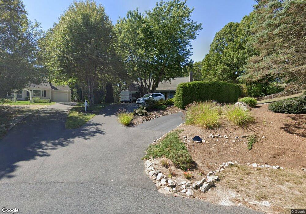
41 Tall Pines Dr Yarmouth Port, MA 02675
Yarmouth Port NeighborhoodEstimated Value: $739,000 - $856,559
3
Beds
3
Baths
1,501
Sq Ft
$545/Sq Ft
Est. Value
About This Home
This home is located at 41 Tall Pines Dr, Yarmouth Port, MA 02675 and is currently estimated at $817,890, approximately $544 per square foot. 41 Tall Pines Dr is a home located in Barnstable County with nearby schools including Dennis-Yarmouth Regional High School.
Ownership History
Date
Name
Owned For
Owner Type
Purchase Details
Closed on
Jan 9, 2004
Sold by
Hoskins Walter G and Hoskins Barbara V
Bought by
Rice John B and Geikie-Rice Lyn
Current Estimated Value
Home Financials for this Owner
Home Financials are based on the most recent Mortgage that was taken out on this home.
Original Mortgage
$303,200
Interest Rate
5.88%
Mortgage Type
Purchase Money Mortgage
Purchase Details
Closed on
Feb 2, 2000
Sold by
Fortin Richard C and Fortin Annette S
Bought by
Hoskins Walter G and Hoskins Barbara
Purchase Details
Closed on
Sep 30, 1988
Sold by
Stage-Lands Inc
Bought by
Thomas Grew Inc
Create a Home Valuation Report for This Property
The Home Valuation Report is an in-depth analysis detailing your home's value as well as a comparison with similar homes in the area
Home Values in the Area
Average Home Value in this Area
Purchase History
| Date | Buyer | Sale Price | Title Company |
|---|---|---|---|
| Rice John B | $379,000 | -- | |
| Hoskins Walter G | $222,000 | -- | |
| Thomas Grew Inc | $30,000 | -- |
Source: Public Records
Mortgage History
| Date | Status | Borrower | Loan Amount |
|---|---|---|---|
| Closed | Thomas Grew Inc | $267,000 | |
| Closed | Thomas Grew Inc | $285,000 | |
| Closed | Thomas Grew Inc | $303,200 |
Source: Public Records
Tax History Compared to Growth
Tax History
| Year | Tax Paid | Tax Assessment Tax Assessment Total Assessment is a certain percentage of the fair market value that is determined by local assessors to be the total taxable value of land and additions on the property. | Land | Improvement |
|---|---|---|---|---|
| 2025 | $6,152 | $868,900 | $227,000 | $641,900 |
| 2024 | $5,204 | $705,100 | $197,400 | $507,700 |
| 2023 | $5,073 | $625,500 | $166,700 | $458,800 |
| 2022 | $4,546 | $495,200 | $149,100 | $346,100 |
| 2021 | $4,454 | $465,900 | $149,100 | $316,800 |
| 2020 | $4,252 | $425,200 | $146,700 | $278,500 |
| 2019 | $3,952 | $391,300 | $146,700 | $244,600 |
| 2018 | $3,938 | $382,700 | $138,100 | $244,600 |
| 2017 | $3,835 | $382,700 | $138,100 | $244,600 |
| 2016 | $3,819 | $382,700 | $138,100 | $244,600 |
| 2015 | $3,687 | $367,200 | $138,100 | $229,100 |
Source: Public Records
Map
Nearby Homes
- 37 Tall Pines Dr
- 43 Tall Pines Dr
- 15 Many Oaks Cir
- 35 Tall Pines Dr
- 45 Tall Pines Dr
- 11 Many Oaks Cir
- 19 Many Oaks Cir
- 44 Tall Pines Dr
- 34 Tall Pines Dr
- 27 Tall Pines Dr
- 9 Many Oaks Cir
- 5 Many Oaks Cir
- 48 Tall Pines Dr
- 21 Many Oaks Cir
- 30 Tall Pines Dr
- 8 Many Oaks Cir
- 26 Tall Pines Dr
- 23 Many Oaks Cir
- 20 Tall Pines Dr
- 275 Weir Rd