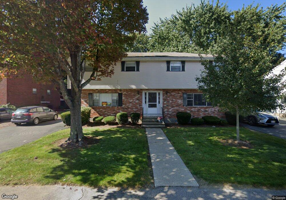
41 Tillotson Rd Needham Heights, MA 02494
Estimated Value: $1,080,000 - $1,492,000
6
Beds
4
Baths
1,344
Sq Ft
$990/Sq Ft
Est. Value
About This Home
This home is located at 41 Tillotson Rd, Needham Heights, MA 02494 and is currently estimated at $1,330,997, approximately $990 per square foot. 41 Tillotson Rd is a home located in Norfolk County with nearby schools including Sunita L. Williams Elementary School, High Rock Middle School, and Pollard Middle School.
Create a Home Valuation Report for This Property
The Home Valuation Report is an in-depth analysis detailing your home's value as well as a comparison with similar homes in the area
Home Values in the Area
Average Home Value in this Area
Tax History Compared to Growth
Tax History
| Year | Tax Paid | Tax Assessment Tax Assessment Total Assessment is a certain percentage of the fair market value that is determined by local assessors to be the total taxable value of land and additions on the property. | Land | Improvement |
|---|---|---|---|---|
| 2025 | $11,017 | $1,039,300 | $741,700 | $297,600 |
| 2024 | $8,614 | $688,000 | $491,200 | $196,800 |
| 2023 | $8,773 | $672,800 | $491,200 | $181,600 |
| 2022 | $8,244 | $616,600 | $442,500 | $174,100 |
| 2021 | $8,034 | $616,600 | $442,500 | $174,100 |
| 2020 | $7,871 | $630,200 | $442,500 | $187,700 |
| 2019 | $7,289 | $588,300 | $402,300 | $186,000 |
| 2018 | $6,989 | $588,300 | $402,300 | $186,000 |
| 2017 | $6,685 | $562,200 | $402,300 | $159,900 |
| 2016 | $6,488 | $562,200 | $402,300 | $159,900 |
| 2015 | $6,347 | $562,200 | $402,300 | $159,900 |
| 2014 | $6,052 | $519,900 | $365,700 | $154,200 |
Source: Public Records
Map
Nearby Homes
- 34 Pershing Rd
- 445 Hillside Ave
- 3 Crescent Rd
- 379 Hunnewell St Unit 379
- 556 Webster St
- 400 Hunnewell St Unit 103
- 35 Andrea Cir
- 7 Avery St
- 12 Hill St
- 71 School St
- 154 Warren St
- 36 Davenport Rd
- 40 Otis St Unit L
- 42 Otis St Unit R
- 29 Tolman St
- 233 Warren St
- 443 Central Ave
- 190 Brookline St
- 98 Hunnewell St
- 62 Evelyn Rd