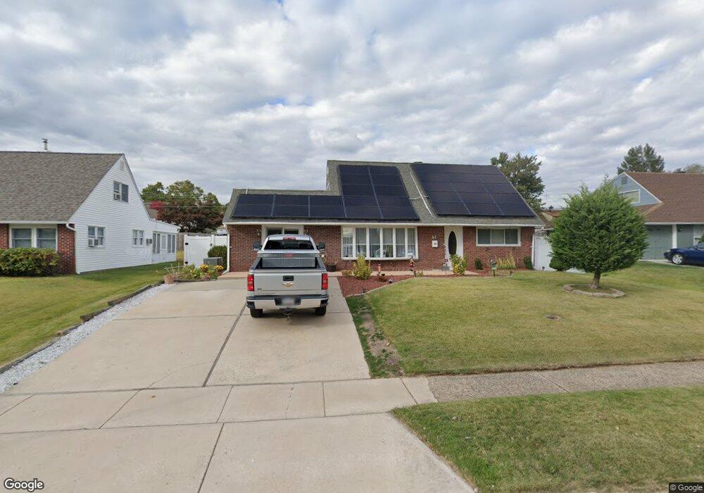
41 Tinsel Rd Levittown, PA 19056
Estimated Value: $416,000 - $433,041
4
Beds
2
Baths
1,575
Sq Ft
$270/Sq Ft
Est. Value
About This Home
This home is located at 41 Tinsel Rd, Levittown, PA 19056 and is currently estimated at $426,010, approximately $270 per square foot. 41 Tinsel Rd is a home located in Bucks County with nearby schools including Pearl S. Buck Elementary School, Maple Point Middle School, and Neshaminy High School.
Ownership History
Date
Name
Owned For
Owner Type
Purchase Details
Closed on
Jul 27, 2011
Sold by
Theurer Joseph and Saltzman Ronald A
Bought by
Vafiadis Nicholas G and Vafiadis Alexandra
Current Estimated Value
Home Financials for this Owner
Home Financials are based on the most recent Mortgage that was taken out on this home.
Original Mortgage
$180,000
Outstanding Balance
$124,281
Interest Rate
4.51%
Mortgage Type
New Conventional
Estimated Equity
$301,729
Purchase Details
Closed on
Dec 15, 2006
Sold by
Notarfrancesco James M
Bought by
Saltzman Ronald A and Theurer Joseph
Purchase Details
Closed on
Jun 23, 1997
Sold by
Binduga Richard J and Binduga Monica L
Bought by
Notarfrancesco James M
Home Financials for this Owner
Home Financials are based on the most recent Mortgage that was taken out on this home.
Original Mortgage
$129,192
Interest Rate
7.81%
Mortgage Type
FHA
Create a Home Valuation Report for This Property
The Home Valuation Report is an in-depth analysis detailing your home's value as well as a comparison with similar homes in the area
Home Values in the Area
Average Home Value in this Area
Purchase History
| Date | Buyer | Sale Price | Title Company |
|---|---|---|---|
| Vafiadis Nicholas G | $255,000 | None Available | |
| Saltzman Ronald A | $200,000 | None Available | |
| Notarfrancesco James M | $129,900 | -- |
Source: Public Records
Mortgage History
| Date | Status | Borrower | Loan Amount |
|---|---|---|---|
| Open | Vafiadis Nicholas G | $180,000 | |
| Previous Owner | Notarfrancesco James M | $129,192 |
Source: Public Records
Tax History
| Year | Tax Paid | Tax Assessment Tax Assessment Total Assessment is a certain percentage of the fair market value that is determined by local assessors to be the total taxable value of land and additions on the property. | Land | Improvement |
|---|---|---|---|---|
| 2025 | $4,572 | $21,000 | $4,320 | $16,680 |
| 2024 | $4,572 | $21,000 | $4,320 | $16,680 |
| 2023 | $4,499 | $21,000 | $4,320 | $16,680 |
| 2022 | $4,381 | $21,000 | $4,320 | $16,680 |
| 2021 | $4,381 | $21,000 | $4,320 | $16,680 |
| 2020 | $4,329 | $21,000 | $4,320 | $16,680 |
| 2019 | $4,232 | $21,000 | $4,320 | $16,680 |
| 2018 | $4,154 | $21,000 | $4,320 | $16,680 |
| 2017 | $4,048 | $21,000 | $4,320 | $16,680 |
| 2016 | $4,048 | $21,000 | $4,320 | $16,680 |
| 2015 | $4,238 | $21,000 | $4,320 | $16,680 |
| 2014 | $4,238 | $21,000 | $4,320 | $16,680 |
Source: Public Records
Map
Nearby Homes
- 43 Tweed Rd
- 0000 Kyle Ln
- 01 Kyle Ln
- 000 Kyle Ln
- 118 Blough Rd
- 109 Blough Rd
- 169 Forsythia Dr N
- 245 Trenton Rd
- 215 Blough Ct Unit HIV
- 9 Harmony Rd
- 541 Stanford Rd
- 9 Honey Locust Rd
- 1836 3rd St
- 46 Hydrangea Rd
- 153 Mercer Ct
- 90 Cobalt Ridge Dr E Unit E
- 76 Cobalt Ridge Dr E Unit E
- 433 Austin Cir
- 80 Silverspruce Rd
- 24114 Hickory Ln
Your Personal Tour Guide
Ask me questions while you tour the home.