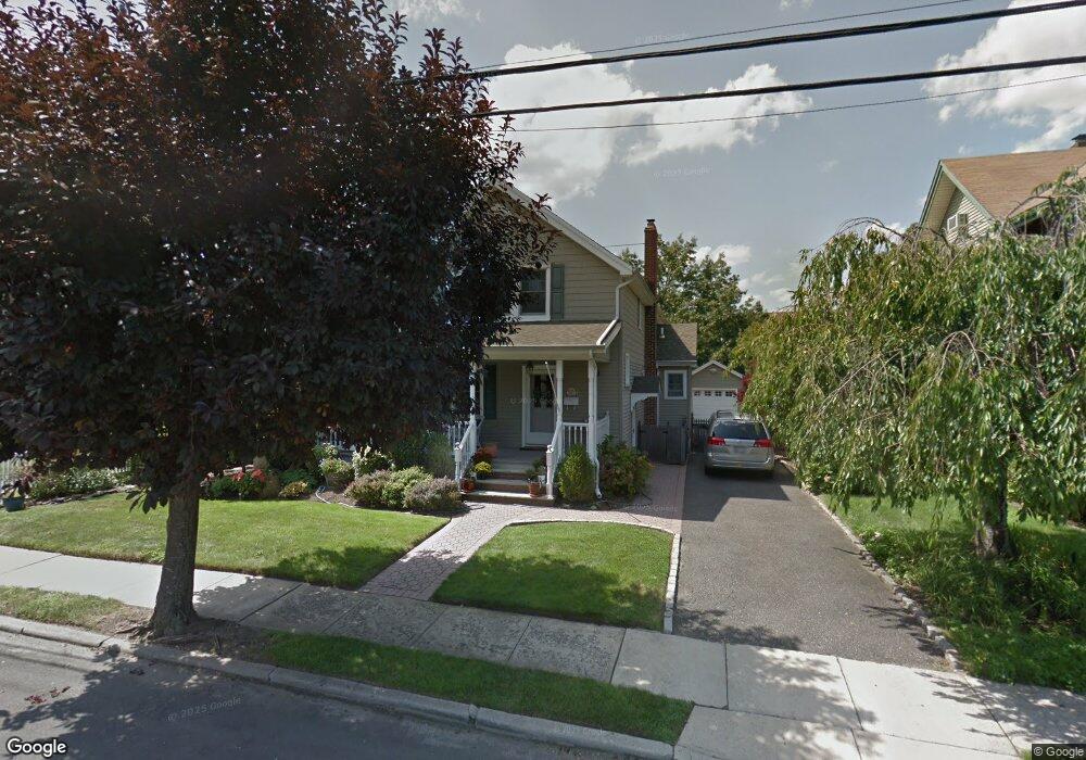
41 Watts Place Lynbrook, NY 11563
Estimated Value: $786,511 - $813,000
--
Bed
2
Baths
2,059
Sq Ft
$388/Sq Ft
Est. Value
About This Home
This home is located at 41 Watts Place, Lynbrook, NY 11563 and is currently estimated at $799,756, approximately $388 per square foot. 41 Watts Place is a home located in Nassau County with nearby schools including Lynbrook Senior High School and Our Lady Of Peace School.
Ownership History
Date
Name
Owned For
Owner Type
Purchase Details
Closed on
Aug 14, 2018
Sold by
Toy Daniel and Toy Diane
Bought by
Diciantis Daniele and Diciantis Christina
Current Estimated Value
Home Financials for this Owner
Home Financials are based on the most recent Mortgage that was taken out on this home.
Original Mortgage
$485,000
Outstanding Balance
$421,203
Interest Rate
4.5%
Mortgage Type
New Conventional
Estimated Equity
$378,553
Purchase Details
Closed on
Apr 23, 1997
Sold by
Dee Richard J and Dee William E
Bought by
Toy Daniel Diane
Create a Home Valuation Report for This Property
The Home Valuation Report is an in-depth analysis detailing your home's value as well as a comparison with similar homes in the area
Home Values in the Area
Average Home Value in this Area
Purchase History
| Date | Buyer | Sale Price | Title Company |
|---|---|---|---|
| Diciantis Daniele | $655,000 | None Available | |
| Toy Daniel Diane | $169,000 | -- |
Source: Public Records
Mortgage History
| Date | Status | Borrower | Loan Amount |
|---|---|---|---|
| Open | Diciantis Daniele | $485,000 |
Source: Public Records
Tax History Compared to Growth
Tax History
| Year | Tax Paid | Tax Assessment Tax Assessment Total Assessment is a certain percentage of the fair market value that is determined by local assessors to be the total taxable value of land and additions on the property. | Land | Improvement |
|---|---|---|---|---|
| 2025 | $11,951 | $518 | $197 | $321 |
| 2024 | $1,176 | $554 | $211 | $343 |
| 2023 | $12,374 | $592 | $225 | $367 |
| 2022 | $12,374 | $568 | $216 | $352 |
| 2021 | $16,290 | $615 | $234 | $381 |
| 2020 | $12,536 | $722 | $504 | $218 |
| 2019 | $1,132 | $722 | $473 | $249 |
| 2018 | $1,181 | $770 | $0 | $0 |
| 2017 | $7,738 | $819 | $450 | $369 |
| 2016 | $8,922 | $917 | $439 | $478 |
| 2015 | $1,362 | $917 | $439 | $478 |
| 2014 | $1,362 | $917 | $439 | $478 |
| 2013 | $1,434 | $1,053 | $504 | $549 |
Source: Public Records
Map
Nearby Homes
- 82 Cherry Ln
- 110 Stella Ct
- 169 Spencer Ave
- 1 Lewis Place
- 183 Atlantic Ave Unit 2
- 183 Atlantic Ave Unit 5
- 183 Atlantic Ave Unit 8
- 185 Atlantic Ave Unit C14
- 185 Atlantic Ave Unit C-1
- 185 Atlantic Ave Unit C-3
- 200 Atlantic Ave Unit 330
- 200 Atlantic Ave Unit 331
- 41 Carman Ave
- 17 Sachem St
- 21 Carter Ct
- 106 Atlantic Ave Unit 28
- 10 Cornell Place
- 114 Atlantic Ave Unit 89
- 63 Lenox Ave
- 280 Atlantic Ave Unit 140