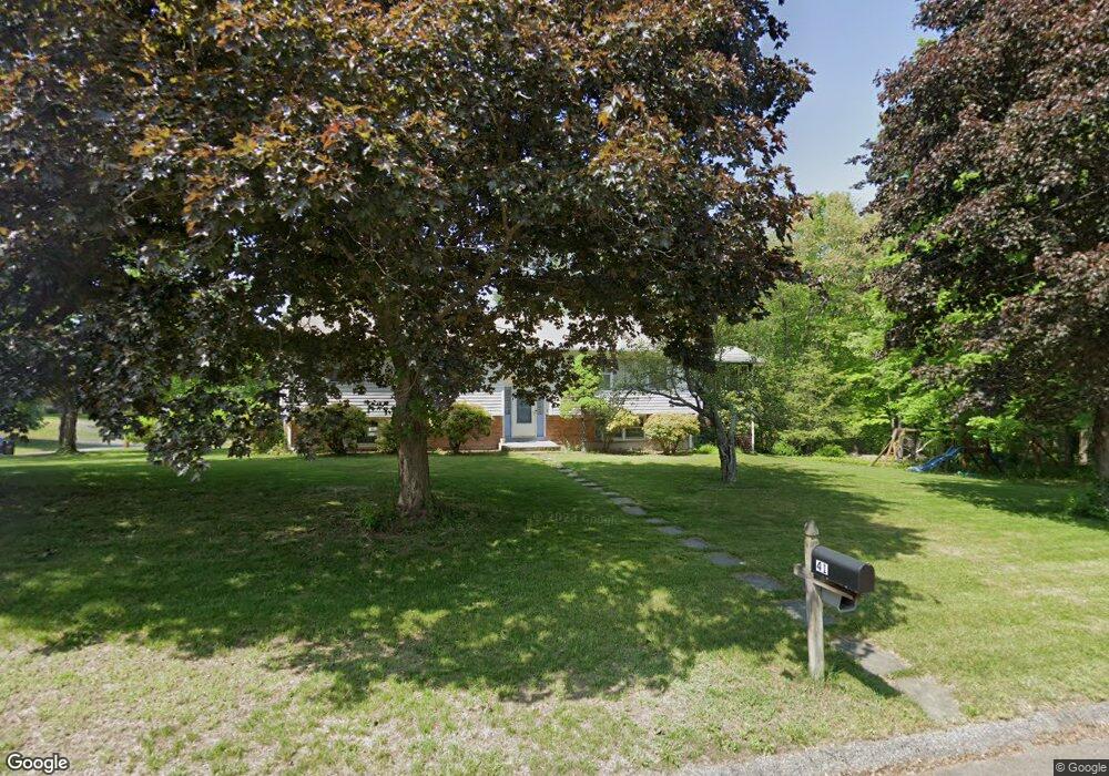
41 Wauneta Rd Trumbull, CT 06611
Estimated Value: $623,000 - $657,954
3
Beds
7
Baths
2,064
Sq Ft
$312/Sq Ft
Est. Value
About This Home
This home is located at 41 Wauneta Rd, Trumbull, CT 06611 and is currently estimated at $642,989, approximately $311 per square foot. 41 Wauneta Rd is a home located in Fairfield County with nearby schools including Middlebrook School, Madison Middle School, and Trumbull High School.
Ownership History
Date
Name
Owned For
Owner Type
Purchase Details
Closed on
Sep 3, 2008
Sold by
Cordero James and Cordero Lucy M
Bought by
Melia Thomas J and Melia Elizabeth Lim
Current Estimated Value
Home Financials for this Owner
Home Financials are based on the most recent Mortgage that was taken out on this home.
Original Mortgage
$392,445
Interest Rate
6.69%
Purchase Details
Closed on
Aug 22, 1997
Sold by
Newbould A William and Newbould Lynn A
Bought by
Cordero Lucy M and Cordero James
Home Financials for this Owner
Home Financials are based on the most recent Mortgage that was taken out on this home.
Original Mortgage
$172,800
Interest Rate
7.42%
Mortgage Type
Unknown
Purchase Details
Closed on
Nov 29, 1994
Sold by
Rice George and Rice Anne
Bought by
Newbould A William and Newbould Lynn
Create a Home Valuation Report for This Property
The Home Valuation Report is an in-depth analysis detailing your home's value as well as a comparison with similar homes in the area
Home Values in the Area
Average Home Value in this Area
Purchase History
| Date | Buyer | Sale Price | Title Company |
|---|---|---|---|
| Melia Thomas J | $408,000 | -- | |
| Cordero Lucy M | $216,000 | -- | |
| Newbould A William | $226,500 | -- |
Source: Public Records
Mortgage History
| Date | Status | Borrower | Loan Amount |
|---|---|---|---|
| Open | Newbould A William | $383,883 | |
| Closed | Newbould A William | $392,445 | |
| Previous Owner | Newbould A William | $167,000 | |
| Previous Owner | Newbould A William | $172,800 |
Source: Public Records
Tax History
| Year | Tax Paid | Tax Assessment Tax Assessment Total Assessment is a certain percentage of the fair market value that is determined by local assessors to be the total taxable value of land and additions on the property. | Land | Improvement |
|---|---|---|---|---|
| 2025 | $10,692 | $290,990 | $161,700 | $129,290 |
| 2024 | $10,390 | $290,990 | $161,700 | $129,290 |
| 2023 | $10,225 | $290,990 | $161,700 | $129,290 |
| 2022 | $10,060 | $290,990 | $161,700 | $129,290 |
| 2021 | $8,384 | $230,580 | $129,360 | $101,220 |
| 2020 | $8,223 | $230,580 | $129,360 | $101,220 |
| 2018 | $8,039 | $230,580 | $129,360 | $101,220 |
| 2017 | $7,890 | $230,580 | $129,360 | $101,220 |
| 2016 | $7,688 | $230,580 | $129,360 | $101,220 |
| 2015 | $7,768 | $232,100 | $129,400 | $102,700 |
| 2014 | $7,604 | $232,100 | $129,400 | $102,700 |
Source: Public Records
Map
Nearby Homes
- 230 Fitch Pass
- 440 Pitkin Hollow
- 14 Gisella Rd
- 6680 Main St
- 11211 Arganese Place Unit 11211
- 93 Putting Green Rd N
- 0 Main St
- 121 Lewis Rd
- 184 Putting Green Rd
- 193 Putting Green Rd
- 17 Moose Hill Rd
- 6716 Main St
- 21 Histon Rd
- 100 Tashua Rd
- 4725 Madison Ave
- 40 Rose Terrace
- 83 Seeley Rd
- 215 Fernwood Rd
- 132 Merrimac Dr
- 75 Middlebrooks Ave