41 Western Ledge Rd Boothbay, ME 04537
Estimated Value: $554,103 - $796,000
3
Beds
3
Baths
960
Sq Ft
$735/Sq Ft
Est. Value
About This Home
This home is located at 41 Western Ledge Rd, Boothbay, ME 04537 and is currently estimated at $705,276, approximately $734 per square foot. 41 Western Ledge Rd is a home located in Lincoln County with nearby schools including Boothbay Region Elementary School and Boothbay Region High School.
Ownership History
Date
Name
Owned For
Owner Type
Purchase Details
Closed on
Dec 23, 2020
Sold by
Frost Peter A
Bought by
Frost Peter A and Davis Diane P
Current Estimated Value
Purchase Details
Closed on
Feb 16, 2007
Sold by
Frost Peter A and Frost Janice E
Bought by
Frost Peter A
Purchase Details
Closed on
Jan 29, 2007
Sold by
Frost Peter A and Frost Janice E
Bought by
Frost Peter A
Create a Home Valuation Report for This Property
The Home Valuation Report is an in-depth analysis detailing your home's value as well as a comparison with similar homes in the area
Home Values in the Area
Average Home Value in this Area
Purchase History
| Date | Buyer | Sale Price | Title Company |
|---|---|---|---|
| Frost Peter A | -- | None Available | |
| Frost Peter A | -- | None Available | |
| Frost Peter A | -- | -- | |
| Frost Peter A | -- | -- | |
| Frost Peter A | -- | -- | |
| Frost Peter A | -- | -- |
Source: Public Records
Tax History
| Year | Tax Paid | Tax Assessment Tax Assessment Total Assessment is a certain percentage of the fair market value that is determined by local assessors to be the total taxable value of land and additions on the property. | Land | Improvement |
|---|---|---|---|---|
| 2025 | $5,377 | $444,379 | $113,544 | $330,835 |
| 2024 | $5,044 | $444,379 | $113,544 | $330,835 |
| 2023 | $4,466 | $444,379 | $113,544 | $330,835 |
| 2022 | $4,133 | $444,379 | $113,544 | $330,835 |
| 2021 | $4,244 | $444,379 | $113,544 | $330,835 |
| 2020 | $4,266 | $444,379 | $113,544 | $330,835 |
| 2019 | $4,199 | $444,379 | $113,544 | $330,835 |
| 2018 | $4,133 | $444,379 | $113,544 | $330,835 |
| 2017 | $3,791 | $412,100 | $112,100 | $300,000 |
| 2016 | $3,626 | $412,100 | $112,100 | $300,000 |
| 2015 | $3,606 | $412,100 | $112,100 | $300,000 |
| 2014 | $3,503 | $412,100 | $112,100 | $300,000 |
Source: Public Records
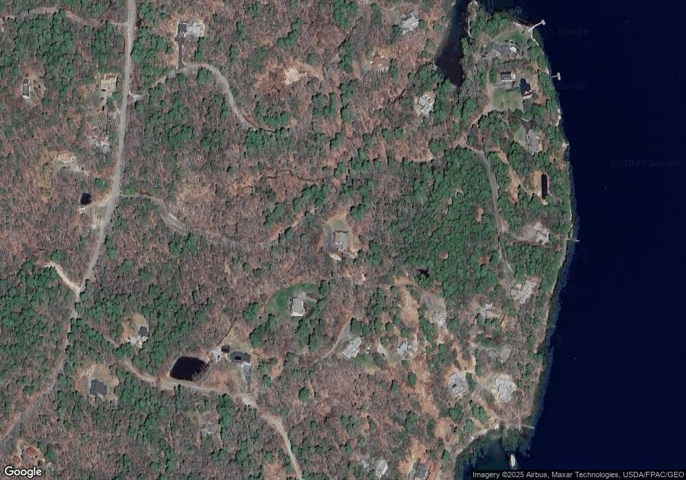
Map
Nearby Homes
- 62 Murphy Rd
- 210 Ocean Point Rd
- 239 Ocean Point Rd
- 8 Country Club Rd
- 6 Abenaki Rd
- 24 Jason Cir
- 74 & 76 Bay St
- 43 Oak St
- 63 Townsend Ave
- 96 Forest Haven Rd
- 37 Townsend Ave
- 34 Townsend Ave
- 27 Townsend Ave
- 137 Miles Rd
- 40 Atlantic Ave
- 30 Village Ct Unit 36
- 21 Lobster Cove Rd
- 5 Village Ct Unit 5
- 53 Commercial St
- 26 Sea St
- 30 Western Ledge Rd
- 30 Bens Landing Rd
- 41 Ben's Landing Rd
- 31 Ben's Landing
- 49 Bens Landing Rd
- 25 Bens Landing Rd
- 18 Bens Landing Rd
- 18 Bens Landing Rd
- 18 Ben's Landing Rd
- 55 Sandy Cove Rd
- 20 Ledgewood Dr
- 26 Ledgewood Dr
- 49 Firth Dr
- 63 Sandy Cove Rd
- 0A S South Ledge Rd
- 0 Sandy Cove Unit 835874
- 0 Sandy Cove Unit 714454
- 0 Sandy Cove Unit 1133587
- XX Meadow Cove Landing
- 6 Bens Landing Rd
Your Personal Tour Guide
Ask me questions while you tour the home.