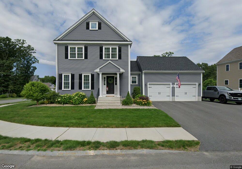
41 Westview Ave Millbury, MA 01527
Estimated Value: $640,000 - $757,000
4
Beds
3
Baths
2,194
Sq Ft
$321/Sq Ft
Est. Value
About This Home
This home is located at 41 Westview Ave, Millbury, MA 01527 and is currently estimated at $703,696, approximately $320 per square foot. 41 Westview Ave is a home with nearby schools including Elmwood Street Elementary School, Raymond E. Shaw Elementary School, and Millbury Junior/Senior High School.
Ownership History
Date
Name
Owned For
Owner Type
Purchase Details
Closed on
Apr 30, 2018
Sold by
Hayr Llc
Bought by
Loiseau Michael J and Loiseau Lynn T
Current Estimated Value
Home Financials for this Owner
Home Financials are based on the most recent Mortgage that was taken out on this home.
Original Mortgage
$195,000
Outstanding Balance
$60,713
Interest Rate
4.44%
Mortgage Type
New Conventional
Estimated Equity
$642,983
Create a Home Valuation Report for This Property
The Home Valuation Report is an in-depth analysis detailing your home's value as well as a comparison with similar homes in the area
Home Values in the Area
Average Home Value in this Area
Purchase History
| Date | Buyer | Sale Price | Title Company |
|---|---|---|---|
| Loiseau Michael J | $427,507 | -- | |
| Loiseau Michael J | $427,507 | -- |
Source: Public Records
Mortgage History
| Date | Status | Borrower | Loan Amount |
|---|---|---|---|
| Open | Loiseau Michael J | $195,000 | |
| Closed | Loiseau Michael J | $195,000 |
Source: Public Records
Tax History Compared to Growth
Tax History
| Year | Tax Paid | Tax Assessment Tax Assessment Total Assessment is a certain percentage of the fair market value that is determined by local assessors to be the total taxable value of land and additions on the property. | Land | Improvement |
|---|---|---|---|---|
| 2025 | $8,986 | $671,100 | $133,800 | $537,300 |
| 2024 | $8,245 | $623,200 | $123,900 | $499,300 |
| 2023 | $7,596 | $525,700 | $86,900 | $438,800 |
| 2022 | $6,771 | $451,400 | $83,400 | $368,000 |
| 2021 | $6,724 | $435,800 | $83,400 | $352,400 |
| 2020 | $6,400 | $417,500 | $83,400 | $334,100 |
| 2019 | $6,096 | $384,600 | $63,200 | $321,400 |
| 2018 | $9,196 | $18,960 | $18,960 | $0 |
| 2017 | $312 | $18,960 | $18,960 | $0 |
Source: Public Records
Map
Nearby Homes
- 12 Irene Ct
- 11 Westview Ave
- 1 Pineland Ave
- 2 Diane St
- 1 Broadmeadow Ave
- 86 Wheelock Ave
- 232 Weatherstone Dr
- 76 Weatherstone Dr
- 330 Millbury Ave
- 3 Stidsen Way
- 27 A-B Grafton St
- 497 Massasoit Rd
- 3 May St
- 11 Maplewood Rd
- 1203 Grafton St Unit 38
- 1201 Grafton St Unit 73
- 1195 Grafton St Unit 3
- 11 Margin St
- 1199 Grafton St Unit 93
- 12 Alstead Path
- 43 Westview Ave
- 43 Skyview Dr
- 40 Westview Ave
- 38 Westview Ave
- 39 Westview Ave
- 42 Westview Ave
- 45 Westview Ave
- Lot 28 Skyview Dr
- Lot 34 Skyview Dr
- Lot 30 Skyview Dr
- 26 Skyview Dr
- 41 Skyview Dr
- 44 Westview Ave
- 36 Westview Ave
- 37 Westview Ave
- 47 Westview Ave
- 39 Skyview Dr
- 46 Westview Ave
- 30 Nightview Place
- 35 Westview Ave