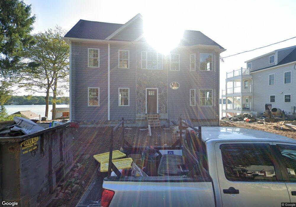
41 Woolford Rd Wrentham, MA 02093
Estimated Value: $597,000 - $1,638,000
2
Beds
2
Baths
1,700
Sq Ft
$729/Sq Ft
Est. Value
About This Home
This home is located at 41 Woolford Rd, Wrentham, MA 02093 and is currently estimated at $1,239,530, approximately $729 per square foot. 41 Woolford Rd is a home located in Norfolk County with nearby schools including Delaney Elementary School and Charles E Roderick.
Ownership History
Date
Name
Owned For
Owner Type
Purchase Details
Closed on
Jun 23, 2017
Sold by
Bumpus Craig F
Bought by
Bumpus Craig F and Bumpus Shauna R
Current Estimated Value
Purchase Details
Closed on
Nov 16, 2007
Sold by
Mccarthy Joan L and King Karen
Bought by
Bumpus Craig F
Home Financials for this Owner
Home Financials are based on the most recent Mortgage that was taken out on this home.
Original Mortgage
$469,500
Interest Rate
6.41%
Mortgage Type
Purchase Money Mortgage
Purchase Details
Closed on
Aug 31, 2001
Sold by
Yankee Kenneth B and Yankee Robbie J
Bought by
King Karen
Home Financials for this Owner
Home Financials are based on the most recent Mortgage that was taken out on this home.
Original Mortgage
$225,500
Interest Rate
7.06%
Mortgage Type
Purchase Money Mortgage
Create a Home Valuation Report for This Property
The Home Valuation Report is an in-depth analysis detailing your home's value as well as a comparison with similar homes in the area
Purchase History
| Date | Buyer | Sale Price | Title Company |
|---|---|---|---|
| Bumpus Craig F | -- | -- | |
| Bumpus Craig F | $589,500 | -- | |
| King Karen | $389,000 | -- |
Source: Public Records
Mortgage History
| Date | Status | Borrower | Loan Amount |
|---|---|---|---|
| Previous Owner | Bumpus Craig F | $469,500 | |
| Previous Owner | King Karen | $225,500 |
Source: Public Records
Tax History
| Year | Tax Paid | Tax Assessment Tax Assessment Total Assessment is a certain percentage of the fair market value that is determined by local assessors to be the total taxable value of land and additions on the property. | Land | Improvement |
|---|---|---|---|---|
| 2025 | $16,928 | $1,460,600 | $491,000 | $969,600 |
| 2024 | $16,080 | $1,340,000 | $491,000 | $849,000 |
| 2023 | $15,815 | $1,253,200 | $440,100 | $813,100 |
| 2022 | $14,544 | $1,063,900 | $362,000 | $701,900 |
| 2021 | $14,736 | $1,047,300 | $400,100 | $647,200 |
| 2020 | $8,315 | $583,500 | $407,200 | $176,300 |
| 2019 | $8,373 | $593,000 | $421,800 | $171,200 |
| 2018 | $8,406 | $590,300 | $422,400 | $167,900 |
| 2017 | $8,209 | $576,100 | $414,300 | $161,800 |
| 2016 | $7,920 | $554,600 | $402,300 | $152,300 |
| 2015 | $7,992 | $533,500 | $386,700 | $146,800 |
| 2014 | $7,865 | $513,700 | $371,900 | $141,800 |
Source: Public Records
Map
Nearby Homes
- 500 Franklin St
- 135 Creek St Unit 2
- 2 Earle Stewart Ln
- 12 Earle Stewart Ln
- 10 Earle Stewart Ln Unit Lot 5
- 3 Earle Stewart Ln
- 18 Northern Spy Rd
- 50 Reed Fulton Ave Unit Lot 61
- 10 Nature View Dr
- 15 Nature View Dr
- 75 Jordan Rd
- 440 Chestnut St
- 3 Oak View Terrace Unit 3
- 6 Woodchester Rd
- 0 Fall Ln
- 45 Joshua Rd
- 15 Tilting Rock Rd
- 9 Elliot Mills Unit 5
- 8 Elliot Mills Unit 30
- 5 Elliot Mills Unit 3
- 27 Woolford Rd
- 48 Woolford Rd
- 47 Woolford Rd
- 30 Woolford Rd
- 51 Woolford Rd
- 25 Woolford Rd
- 57 Woolford Rd
- 50 Woolford Rd
- 60 Woolford Rd
- 20 Woolford Rd
- 68 Woolford Rd
- 40 Woolford Rd
- 14 Woolford Rd
- 14 Woolford Rd Unit 1
- 67 Woolford Rd
- 10 Woolford Rd
- 10 Woolford Rd Unit R
- 10 Woolford Rd
- 10 Woolford Rd Unit (REAR)
- 12 Woolford Rd
Your Personal Tour Guide
Ask me questions while you tour the home.