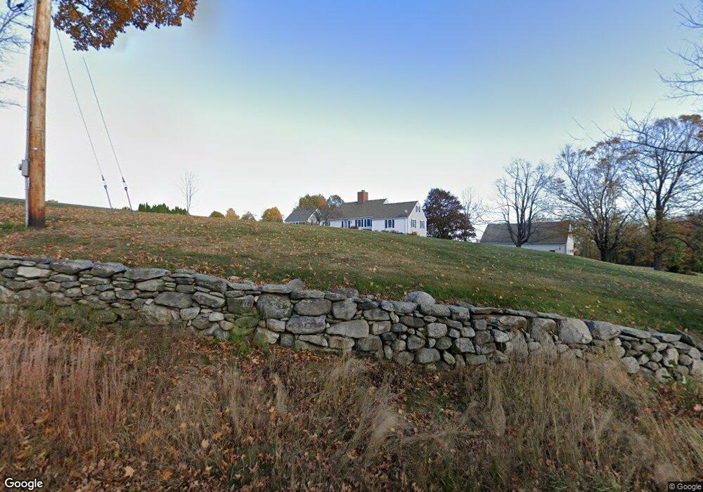
41 Worcester Rd Princeton, MA 01541
Estimated Value: $757,098 - $836,000
4
Beds
4
Baths
2,624
Sq Ft
$304/Sq Ft
Est. Value
About This Home
This home is located at 41 Worcester Rd, Princeton, MA 01541 and is currently estimated at $797,275, approximately $303 per square foot. 41 Worcester Rd is a home located in Worcester County with nearby schools including Wachusett Regional High School.
Ownership History
Date
Name
Owned For
Owner Type
Purchase Details
Closed on
Jan 21, 2025
Sold by
Ocoin James M and Ocoin Veree M
Bought by
Ocoin Veree M
Current Estimated Value
Purchase Details
Closed on
Feb 21, 2013
Sold by
Ocoin Veree M
Bought by
Ocoin Veree M and Ocoin James M
Purchase Details
Closed on
Apr 1, 2002
Sold by
Martin Doris B
Bought by
Ocoin Veree M
Home Financials for this Owner
Home Financials are based on the most recent Mortgage that was taken out on this home.
Original Mortgage
$570,000
Interest Rate
6.88%
Mortgage Type
Purchase Money Mortgage
Create a Home Valuation Report for This Property
The Home Valuation Report is an in-depth analysis detailing your home's value as well as a comparison with similar homes in the area
Home Values in the Area
Average Home Value in this Area
Purchase History
| Date | Buyer | Sale Price | Title Company |
|---|---|---|---|
| Ocoin Veree M | -- | None Available | |
| Ocoin Veree M | -- | None Available | |
| Ocoin Veree M | -- | -- | |
| Ocoin Veree M | -- | -- | |
| Ocoin Veree M | $450,000 | -- | |
| Ocoin Veree M | $450,000 | -- |
Source: Public Records
Mortgage History
| Date | Status | Borrower | Loan Amount |
|---|---|---|---|
| Previous Owner | Ocoin Veree M | $570,000 | |
| Previous Owner | Ocoin Veree M | $10,000 |
Source: Public Records
Map
Nearby Homes
- 20 Mountain Rd
- 13 Goodnow Rd
- 100 Brooks Station Rd
- 134 Mountain Rd
- 9 Stagecoach Rd
- 56 Hubbardston Rd
- 386 Redemption Rock Trail
- 376 Elmwood Ave
- 45 Old Colony Rd
- 186 Justice Hill Rd Unit Oakmont
- 186 Justice Hill Rd Unit Mod Farm
- 147 E County Rd Unit 149
- 139 E County Rd Unit 139
- 0 North St
- 569 E County Rd
- 45 Neylon St
- 287 Laurel St
- 34 Simonds Hill Rd
- 207 W Princeton Rd
- 146 Hosmer St
- 29 Worcester Rd
- 30 Worcester Rd
- 27 Worcester Rd
- 25 Worcester Rd
- 26 Worcester Rd
- 50 Worcester Rd
- 23 Worcester Rd
- 53 Worcester Rd
- L-46 Worcester Rd
- 46 Worcester Rd
- 42 Worcester Rd
- 20 Worcester Rd
- 58 Worcester Rd
- 57 Worcester Rd
- 17 Worcester Rd
- 16 Worcester Rd
- 60 Worcester Rd
- 15 Worcester Rd
- 62 Worcester Rd
- 65 Worcester Rd
Your Personal Tour Guide
Ask me questions while you tour the home.