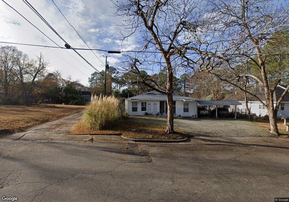
410 6th St W Tifton, GA 31794
Estimated Value: $123,000 - $148,000
3
Beds
1
Bath
1,240
Sq Ft
$113/Sq Ft
Est. Value
About This Home
This home is located at 410 6th St W, Tifton, GA 31794 and is currently estimated at $140,226, approximately $113 per square foot. 410 6th St W is a home located in Tift County with nearby schools including Len Lastinger Primary School, Charles Spencer Elementary School, and J.T. Reddick School.
Ownership History
Date
Name
Owned For
Owner Type
Purchase Details
Closed on
Dec 6, 2021
Sold by
Crumley Greg
Bought by
Cooksey Rose Lee Gibbs
Current Estimated Value
Purchase Details
Closed on
Dec 13, 2010
Sold by
Gibbs Doris M
Bought by
Crumley Greg
Purchase Details
Closed on
Sep 24, 2004
Sold by
Cooksey Rose G
Bought by
Gibbs Doris M
Purchase Details
Closed on
Aug 26, 2004
Sold by
Sullivan Roy Earl
Bought by
Cooksey Rose G
Purchase Details
Closed on
Dec 8, 1980
Sold by
Sullivan Willie L Mrs
Bought by
Sullivan Roy Earl
Create a Home Valuation Report for This Property
The Home Valuation Report is an in-depth analysis detailing your home's value as well as a comparison with similar homes in the area
Home Values in the Area
Average Home Value in this Area
Purchase History
| Date | Buyer | Sale Price | Title Company |
|---|---|---|---|
| Cooksey Rose Lee Gibbs | $467,130 | -- | |
| Crumley Greg | -- | -- | |
| Gibbs Doris M | -- | -- | |
| Cooksey Rose G | $43,000 | -- | |
| Sullivan Roy Earl | -- | -- |
Source: Public Records
Tax History Compared to Growth
Tax History
| Year | Tax Paid | Tax Assessment Tax Assessment Total Assessment is a certain percentage of the fair market value that is determined by local assessors to be the total taxable value of land and additions on the property. | Land | Improvement |
|---|---|---|---|---|
| 2024 | $1,060 | $39,304 | $8,680 | $30,624 |
| 2023 | $958 | $22,720 | $4,000 | $18,720 |
| 2022 | $855 | $22,720 | $4,000 | $18,720 |
| 2021 | $861 | $22,720 | $4,000 | $18,720 |
| 2020 | $882 | $22,720 | $4,000 | $18,720 |
| 2019 | $882 | $22,720 | $4,000 | $18,720 |
| 2018 | $883 | $22,720 | $4,000 | $18,720 |
| 2017 | $905 | $22,720 | $4,000 | $18,720 |
| 2016 | $907 | $22,720 | $4,000 | $18,720 |
| 2015 | $874 | $21,872 | $4,000 | $17,872 |
| 2014 | $875 | $21,872 | $4,000 | $17,872 |
| 2013 | -- | $21,872 | $4,000 | $17,872 |
Source: Public Records
Map
Nearby Homes
- 416 6th St W
- 801 Ridge Ave N
- 803 Forrest Ave
- 803 Forest Ave
- 401 Park Ave N
- 821 Murray Ave
- 0 Lee Ball Rd
- 0 Penn Place
- 711 10th St W
- 15 acres Us Highway 41
- 33.7 ac Us Highway 41
- 48 acres Us Highway 41
- 618 Tift Ave N
- 810 Tift Ave N
- 378 Ellen's Walk
- 372 Ellen's Walk
- N/A Wanda Way
- 14084 Hwy 125n
- 225 Alabama Dr
- 1601 Murray Ave
- 412 6th St W
- 406 6th St W
- 416 6th St W Unit 7
- 402 6th St W
- 415 6th St W
- 411 6th St W
- 602 College Ave N
- 603 Wilson Ave N
- 417 College Ave N
- 602 Wilson Ave N
- 419 College Ave N
- 605 Wilson Ave N
- 316 6th St W
- 604 Wilson Ave N
- 315 6th St W
- 610 College Ave N
- 615 Wilson Ave N
- 606 Wilson Ave N
- 605 College Ave N
- 605 Forrest Ave