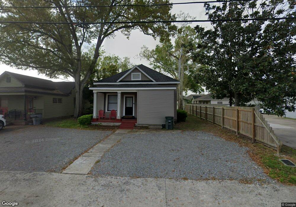
410 7th St Lake Charles, LA 70601
Estimated Value: $104,736 - $184,000
3
Beds
2
Baths
1,350
Sq Ft
$111/Sq Ft
Est. Value
About This Home
This home is located at 410 7th St, Lake Charles, LA 70601 and is currently estimated at $149,684, approximately $110 per square foot. 410 7th St is a home located in Calcasieu Parish with nearby schools including Pearl Watson Elementary School, Ray D. Molo Middle School, and Washington-Marion Magnet High School.
Ownership History
Date
Name
Owned For
Owner Type
Purchase Details
Closed on
Dec 10, 2007
Sold by
Spencer Daryl Wayne and Spencer Bonnie Lynn
Bought by
Samco Of Lousina Llc
Current Estimated Value
Home Financials for this Owner
Home Financials are based on the most recent Mortgage that was taken out on this home.
Original Mortgage
$80,000
Outstanding Balance
$50,898
Interest Rate
6.4%
Estimated Equity
$98,786
Purchase Details
Closed on
Dec 27, 2005
Sold by
Spencer Meredith Anne
Bought by
Spencer Daryl Wayen and Spencer Bonnie Lynn
Create a Home Valuation Report for This Property
The Home Valuation Report is an in-depth analysis detailing your home's value as well as a comparison with similar homes in the area
Home Values in the Area
Average Home Value in this Area
Purchase History
| Date | Buyer | Sale Price | Title Company |
|---|---|---|---|
| Samco Of Lousina Llc | $80,000 | None Available | |
| Spencer Daryl Wayen | $69,900 | None Available |
Source: Public Records
Mortgage History
| Date | Status | Borrower | Loan Amount |
|---|---|---|---|
| Open | Samco Of Lousina Llc | $80,000 |
Source: Public Records
Tax History Compared to Growth
Tax History
| Year | Tax Paid | Tax Assessment Tax Assessment Total Assessment is a certain percentage of the fair market value that is determined by local assessors to be the total taxable value of land and additions on the property. | Land | Improvement |
|---|---|---|---|---|
| 2024 | $396 | $3,470 | $1,400 | $2,070 |
| 2023 | $396 | $3,470 | $1,400 | $2,070 |
| 2022 | $399 | $3,470 | $1,400 | $2,070 |
| 2021 | $383 | $3,470 | $1,400 | $2,070 |
| 2020 | $414 | $3,200 | $1,340 | $1,860 |
| 2019 | $453 | $3,370 | $1,300 | $2,070 |
| 2018 | $414 | $3,370 | $1,300 | $2,070 |
| 2017 | $383 | $3,370 | $1,300 | $2,070 |
| 2016 | $384 | $3,370 | $1,300 | $2,070 |
| 2015 | $381 | $3,370 | $1,300 | $2,070 |
Source: Public Records
Map
Nearby Homes
- 1632 Hodges St
- 408 Burnett St
- 1627 Bilbo St
- 1725 Ryan St
- 418 Prewitt St
- 114 Park Ave
- 1711 Bilbo St
- 1712 W Common St
- 112 Dr Michael Debakey Dr
- 615 Cleveland St
- 624 8th St
- 400 10th St
- 1149 Hodges St
- 632 Cleveland St
- 0 Pithon St
- 1713 Moss St
- 1117 Common St
- 1220 Pithon St Unit 5
- 1220 Pithon St Unit 16
- 1220 Pithon St Unit 6