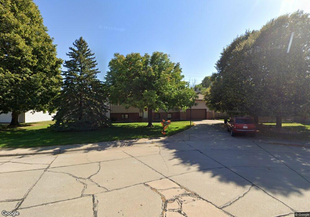
410 Apache Dr Lexington, NE 68850
Estimated Value: $304,000 - $368,000
3
Beds
2
Baths
2,768
Sq Ft
$123/Sq Ft
Est. Value
About This Home
This home is located at 410 Apache Dr, Lexington, NE 68850 and is currently estimated at $339,534, approximately $122 per square foot. 410 Apache Dr is a home located in Dawson County with nearby schools including Lexington High School.
Ownership History
Date
Name
Owned For
Owner Type
Purchase Details
Closed on
Feb 27, 2019
Sold by
Jackson Connie M
Bought by
Partida Ruben Partida and Contreras Maricela Martinez
Current Estimated Value
Home Financials for this Owner
Home Financials are based on the most recent Mortgage that was taken out on this home.
Original Mortgage
$170,000
Outstanding Balance
$148,546
Interest Rate
4.4%
Mortgage Type
New Conventional
Estimated Equity
$190,988
Create a Home Valuation Report for This Property
The Home Valuation Report is an in-depth analysis detailing your home's value as well as a comparison with similar homes in the area
Home Values in the Area
Average Home Value in this Area
Purchase History
| Date | Buyer | Sale Price | Title Company |
|---|---|---|---|
| Partida Ruben Partida | -- | None Available |
Source: Public Records
Mortgage History
| Date | Status | Borrower | Loan Amount |
|---|---|---|---|
| Open | Partida Ruben Partida | $170,000 |
Source: Public Records
Tax History
| Year | Tax Paid | Tax Assessment Tax Assessment Total Assessment is a certain percentage of the fair market value that is determined by local assessors to be the total taxable value of land and additions on the property. | Land | Improvement |
|---|---|---|---|---|
| 2025 | $3,855 | $320,315 | $17,875 | $302,440 |
| 2024 | $3,855 | $301,410 | $17,875 | $283,535 |
| 2023 | $4,576 | $273,739 | $17,875 | $255,864 |
| 2022 | $3,655 | $201,806 | $17,875 | $183,931 |
| 2021 | $3,338 | $185,087 | $17,875 | $167,212 |
| 2020 | $3,357 | $185,087 | $17,875 | $167,212 |
| 2019 | $2,964 | $165,760 | $17,761 | $147,999 |
| 2018 | $1,558 | $165,760 | $17,761 | $147,999 |
| 2017 | $986 | $165,760 | $17,761 | $147,999 |
| 2016 | $826 | $162,990 | $17,160 | $145,830 |
| 2015 | $2,620 | $141,620 | $17,160 | $124,460 |
| 2014 | $2,792 | $141,620 | $17,160 | $124,460 |
| 2013 | -- | $141,620 | $17,160 | $124,460 |
Source: Public Records
Map
Nearby Homes
- 120 Sunset Dr
- 1808 Cleveland St
- 109 Sunset Dr
- 304 Cherokee Rd
- 1709 Cleveland St
- 1907 Plum Creek Ln
- 1510 N Adams St
- 2006 Ridgeway Dr
- 1404 N Madison St
- 1311 N Harrison St
- 1507 N Jackson St
- 1407 Wade St
- 1415 N Woodlawn Ave
- 2020 Patriot Dr
- 1508 Constitution Dr
- 1700 Independence Ave
- 1107 W 15th St
- 2203 Patriot Dr
- 1605 Independence Ave
- 100 Revere Cir
Your Personal Tour Guide
Ask me questions while you tour the home.