410 B L Shackelford Rd Olmstead, KY 42265
Estimated Value: $243,000 - $768,000
3
Beds
1
Bath
2,254
Sq Ft
$182/Sq Ft
Est. Value
About This Home
This home is located at 410 B L Shackelford Rd, Olmstead, KY 42265 and is currently estimated at $410,725, approximately $182 per square foot. 410 B L Shackelford Rd is a home located in Logan County with nearby schools including Logan County High School.
Ownership History
Date
Name
Owned For
Owner Type
Purchase Details
Closed on
Nov 19, 2010
Sold by
Dilliha Rita and Anderson Danny Wade
Bought by
Shackeford William B
Current Estimated Value
Home Financials for this Owner
Home Financials are based on the most recent Mortgage that was taken out on this home.
Original Mortgage
$86,256
Interest Rate
4.3%
Mortgage Type
Future Advance Clause Open End Mortgage
Create a Home Valuation Report for This Property
The Home Valuation Report is an in-depth analysis detailing your home's value as well as a comparison with similar homes in the area
Home Values in the Area
Average Home Value in this Area
Purchase History
| Date | Buyer | Sale Price | Title Company |
|---|---|---|---|
| Shackeford William B | $120,000 | None Available |
Source: Public Records
Mortgage History
| Date | Status | Borrower | Loan Amount |
|---|---|---|---|
| Closed | Shackeford William B | $86,256 |
Source: Public Records
Tax History Compared to Growth
Tax History
| Year | Tax Paid | Tax Assessment Tax Assessment Total Assessment is a certain percentage of the fair market value that is determined by local assessors to be the total taxable value of land and additions on the property. | Land | Improvement |
|---|---|---|---|---|
| 2025 | $1,251 | $144,275 | $10,775 | $133,500 |
| 2024 | $1,059 | $121,117 | $9,117 | $112,000 |
| 2023 | $1,088 | $121,117 | $9,117 | $112,000 |
| 2022 | $1,076 | $121,117 | $9,117 | $112,000 |
| 2021 | $1,079 | $121,117 | $9,117 | $112,000 |
| 2020 | $1,079 | $269,200 | $157,200 | $112,000 |
| 2019 | $1,076 | $269,200 | $157,200 | $112,000 |
| 2018 | $1,065 | $119,200 | $7,200 | $112,000 |
| 2017 | $1,056 | $120,000 | $120,000 | $0 |
| 2016 | $1,045 | $120,000 | $0 | $0 |
| 2015 | $952 | $120,000 | $120,000 | $0 |
| 2012 | $952 | $120,000 | $0 | $0 |
Source: Public Records
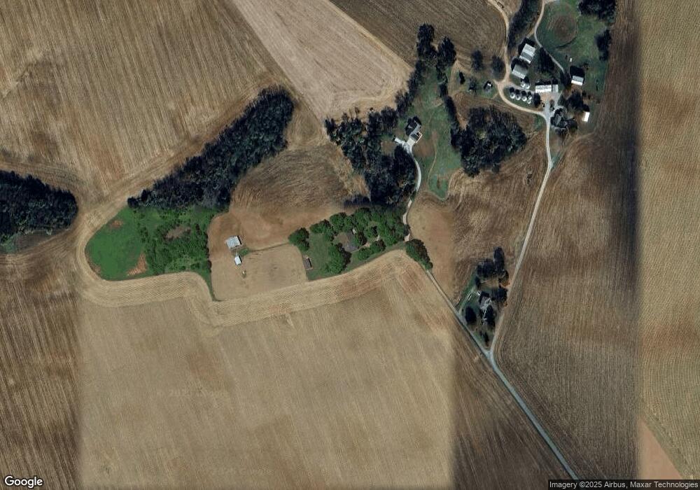
Map
Nearby Homes
- 80 Donald Ln
- 194 Vick Rd
- 143 Nathan Ln
- 302 Birdie Cir
- 115 Oakdale Dr
- 110 Iroquois Cir
- Lot 15 Acorn Dr
- Lot 14 Acorn Dr
- 107 Acorn Dr
- Lot 13 Acorn Dr
- 1229 W 9th St
- 1227 W 9th St
- 1214 W 9th St
- LOTS Manshart Subdivision
- 1212 W 9th St
- 120 Renee St
- 1303 Nashville St
- 106 Renee St
- 101 Nates Way
- 1013 Brookhaven Dr
- 47 B L Shackelford Spur Rd
- 47 B L Shackelford Spur Rd
- 403 B L Shackelford Rd
- 1320 Johnson Young Rd
- 3965 Orndorff Mill Rd
- 1598 Johnson Young Rd
- 4085 Orndorff Mill Rd
- 4503 Orndorff Mill Rd
- 104 Mcintosh Rd
- 4370 Orndorff Mill Rd
- 3715 Orndorff Mill Rd
- 263 Mcintosh Rd
- 1497 Johnson Young Rd
- 3675 Orndorff Mill Rd
- 3595 Orndorff Mill Rd
- 335 Mcintosh Rd
- 4656 Orndorff Mill Rd