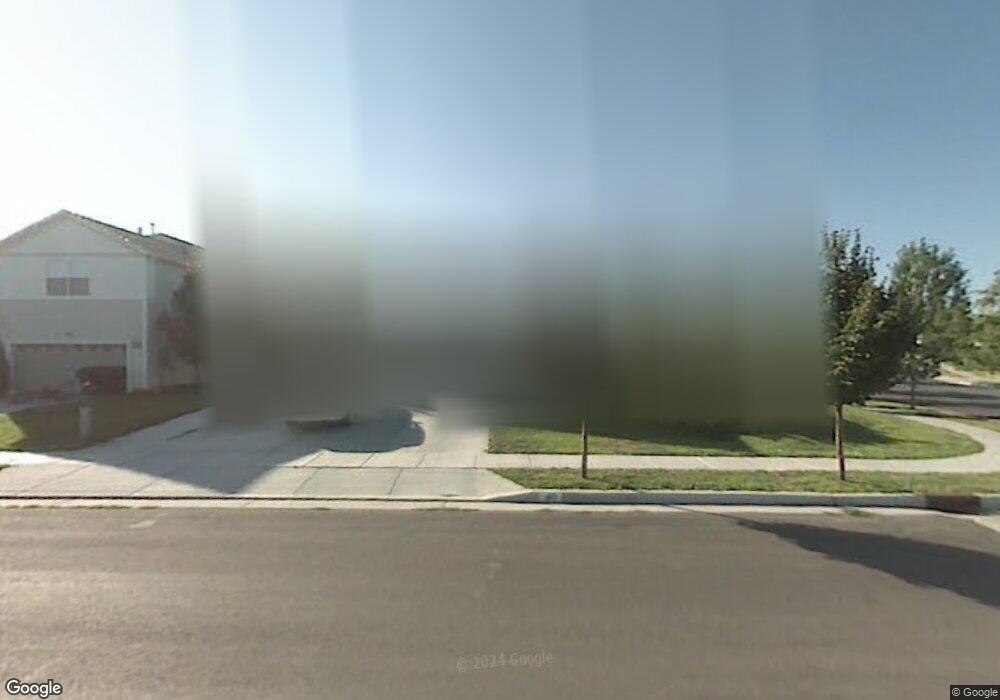
410 Benson Rd Tooele, UT 84074
Estimated Value: $403,000 - $433,000
3
Beds
2
Baths
1,480
Sq Ft
$282/Sq Ft
Est. Value
About This Home
This home is located at 410 Benson Rd, Tooele, UT 84074 and is currently estimated at $416,823, approximately $281 per square foot. 410 Benson Rd is a home located in Tooele County with nearby schools including Stansbury Park Elementary School, Clarke N. Johnsen Junior High School, and Stansbury High School.
Ownership History
Date
Name
Owned For
Owner Type
Purchase Details
Closed on
May 9, 2022
Sold by
Drain Richard P
Bought by
Jofra L C
Current Estimated Value
Purchase Details
Closed on
Jul 30, 2019
Sold by
Drain Richard P
Bought by
Drain Richard P and Girod Donna K
Purchase Details
Closed on
Aug 18, 2016
Sold by
Brunell Scott
Bought by
Drain Richard P
Home Financials for this Owner
Home Financials are based on the most recent Mortgage that was taken out on this home.
Original Mortgage
$196,377
Interest Rate
3.62%
Mortgage Type
FHA
Purchase Details
Closed on
Dec 10, 2008
Sold by
Rodier Darla Mae
Bought by
Rodier Darla Mae and Brunell Scott
Purchase Details
Closed on
Mar 29, 2007
Sold by
Rodier Edward C
Bought by
Rodier Edward C and Rodier Darla Mae
Create a Home Valuation Report for This Property
The Home Valuation Report is an in-depth analysis detailing your home's value as well as a comparison with similar homes in the area
Home Values in the Area
Average Home Value in this Area
Purchase History
| Date | Buyer | Sale Price | Title Company |
|---|---|---|---|
| Jofra L C | -- | None Listed On Document | |
| Drain Richard P | -- | None Available | |
| Drain Richard P | -- | Inwest Title S Ogden | |
| Rodier Darla Mae | -- | B & D Title Co | |
| Rodier Edward C | -- | None Available |
Source: Public Records
Mortgage History
| Date | Status | Borrower | Loan Amount |
|---|---|---|---|
| Previous Owner | Drain Richard P | $196,377 |
Source: Public Records
Tax History Compared to Growth
Tax History
| Year | Tax Paid | Tax Assessment Tax Assessment Total Assessment is a certain percentage of the fair market value that is determined by local assessors to be the total taxable value of land and additions on the property. | Land | Improvement |
|---|---|---|---|---|
| 2025 | $3,066 | $209,541 | $75,900 | $133,641 |
| 2024 | $3,066 | $198,043 | $75,900 | $122,143 |
| 2023 | $3,066 | $191,760 | $79,200 | $112,560 |
| 2022 | $2,593 | $208,081 | $66,990 | $141,091 |
| 2021 | $2,395 | $158,729 | $56,678 | $102,051 |
| 2020 | $2,256 | $261,488 | $75,700 | $185,788 |
| 2019 | $2,072 | $236,232 | $75,700 | $160,532 |
| 2018 | $1,752 | $191,375 | $25,000 | $166,375 |
| 2017 | $1,526 | $176,250 | $25,000 | $151,250 |
| 2016 | $1,306 | $86,087 | $13,750 | $72,337 |
| 2015 | $1,306 | $81,992 | $0 | $0 |
| 2014 | -- | $81,992 | $0 | $0 |
Source: Public Records
Map
Nearby Homes
- 16 Millpond
- 6790 Greenfield Ln
- 294 E Angell Way
- 25 Clubhouse Dr
- 6628 Malachite Way
- 283 E Rockwood Way
- 641 Hal St
- 6545 N Valley Point Way
- 33 E Delgada Ln
- 133 Lakeview Dr Unit 39
- 6459 N Star Discovery Way
- 173 Lakeview Dr
- 5742 N Gray Hawk Dr
- 6488 N Spur Ln
- 6508 N 373 W
- 6496 Spur Ln N
- 6496 Spur Ln N Unit 1219
- 6456 Black Ridge Dr
- 180 Lakeview Dr
- 187 Country Club Dr
- 420 Benson Rd
- 413 Water Wheel Ln
- 402 Wheatridge Rd
- 431 Water Wheel Ln
- 430 Benson Rd
- 6675 Harvest Ln
- 439 Water Wheel Ln
- 438 Benson Rd
- 418 Wheatridge Rd
- 6665 Harvest Ln
- 424 Water Wheel Ln
- 6665 N Harvest Dr
- 449 Water Wheel Ln
- 6657 Harvest Ln
- 444 Water Wheel Ln
- 426 Wheatridge Rd
- 6647 Harvest Ln
- 459 Water Wheel Ln
- 6684 Harvest Ln
- 6676 Harvest Ln