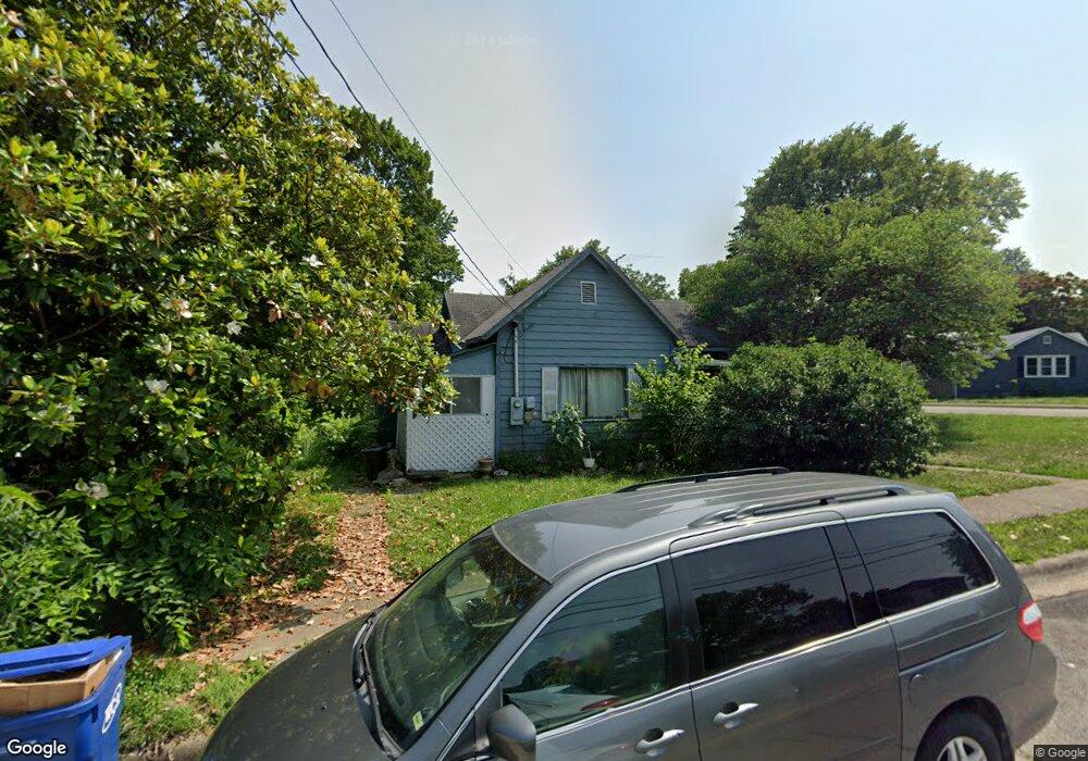
410 Bland Ave Lebanon, MO 65536
Estimated Value: $104,000 - $144,000
2
Beds
1
Bath
991
Sq Ft
$125/Sq Ft
Est. Value
About This Home
This home is located at 410 Bland Ave, Lebanon, MO 65536 and is currently estimated at $123,461, approximately $124 per square foot. 410 Bland Ave is a home located in Laclede County with nearby schools including Joe D. Esther Elementary School, Boswell Elementary School, and Maplecrest Elementary School.
Ownership History
Date
Name
Owned For
Owner Type
Purchase Details
Closed on
Apr 18, 2024
Sold by
Breazeale Donna J and Perryman Willard
Bought by
Schruman Jenna
Current Estimated Value
Purchase Details
Closed on
Dec 26, 2019
Sold by
Miller Land And Investments Llc
Bought by
Breazeale Donna J
Home Financials for this Owner
Home Financials are based on the most recent Mortgage that was taken out on this home.
Original Mortgage
$43,500
Interest Rate
3.7%
Mortgage Type
New Conventional
Purchase Details
Closed on
Oct 21, 2019
Sold by
Hager Janest
Bought by
Miller Land & Investment Llc
Create a Home Valuation Report for This Property
The Home Valuation Report is an in-depth analysis detailing your home's value as well as a comparison with similar homes in the area
Home Values in the Area
Average Home Value in this Area
Purchase History
| Date | Buyer | Sale Price | Title Company |
|---|---|---|---|
| Schruman Jenna | -- | None Listed On Document | |
| Breazeale Donna J | -- | None Available | |
| Miller Land & Investment Llc | -- | Hogan Land Title |
Source: Public Records
Mortgage History
| Date | Status | Borrower | Loan Amount |
|---|---|---|---|
| Previous Owner | Breazeale Donna J | $43,500 |
Source: Public Records
Tax History Compared to Growth
Tax History
| Year | Tax Paid | Tax Assessment Tax Assessment Total Assessment is a certain percentage of the fair market value that is determined by local assessors to be the total taxable value of land and additions on the property. | Land | Improvement |
|---|---|---|---|---|
| 2025 | $364 | $7,200 | $0 | $0 |
| 2024 | $364 | $6,380 | $0 | $0 |
| 2023 | $397 | $6,750 | $0 | $0 |
| 2022 | $370 | $6,750 | $0 | $0 |
| 2021 | $407 | $6,745 | $1,729 | $5,016 |
| 2020 | $409 | $6,745 | $1,729 | $5,016 |
| 2019 | $392 | $6,750 | $1,730 | $5,020 |
| 2018 | $368 | $6,750 | $1,730 | $5,020 |
| 2017 | $349 | $6,750 | $0 | $0 |
| 2016 | $349 | $6,750 | $0 | $0 |
| 2015 | $349 | $6,750 | $0 | $0 |
| 2014 | $349 | $6,750 | $0 | $0 |
| 2013 | -- | $6,750 | $0 | $0 |
Source: Public Records
Map
Nearby Homes
- 0 County Rd 64-152 N A
- 169 Grand Ave
- 595 Chestnut St
- 377 Lincoln Ave
- 540 Pearl St
- 440 Railroad Ave
- 411 South St
- 371 N Washington Ave
- Lot 20 Missouri 64
- 1719 State Hwy 64
- 015 Missouri 64
- Lot 19 Missouri 64
- Lot 18 Missouri 64
- Lot 17 Missouri 64
- 014 Missouri 64
- 016 Missouri 64
- 480 Center Ave
- 757 S Adams Ave
- 233 N Park Manor Blvd
- 22781 U S Route 66
- 230 Morris St
- 450 Bland Ave
- 370 Bland Ave
- 240 Morris St
- 366 Bland Ave
- 170 Morris St
- 480 Bland Ave
- 393 Bland Ave
- 255 Morris St
- 467 Bland Ave
- 250 Morris St
- 397 Bland Ave
- 250 Morris Ave
- 360 Bland Ave
- 375 Bland Ave
- 481 Bland Ave
- 150 Morris St
- 150 Morris Ave Unit A & B
- 150 Morris St Unit A & B
- 267 Morris St