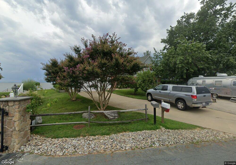
410 Congressional Dr Stevensville, MD 21666
Estimated Value: $1,089,000 - $1,246,000
--
Bed
3
Baths
3,648
Sq Ft
$314/Sq Ft
Est. Value
About This Home
This home is located at 410 Congressional Dr, Stevensville, MD 21666 and is currently estimated at $1,145,554, approximately $314 per square foot. 410 Congressional Dr is a home located in Queen Anne's County with nearby schools including Matapeake Elementary School, Matapeake Middle School, and Kent Island High School.
Ownership History
Date
Name
Owned For
Owner Type
Purchase Details
Closed on
Dec 30, 2009
Sold by
Nies David Thomas and Nies Tammy
Bought by
Nies David Thomas and Nies Tammy L
Current Estimated Value
Purchase Details
Closed on
Jun 8, 1998
Sold by
Hansel Lawrence G and Hansel Mary Jane
Bought by
Nies David Thomas and Nies David Thomas Tammy
Purchase Details
Closed on
Jun 17, 1996
Sold by
Hansel Lawrence G
Bought by
The Carter Group Llc
Create a Home Valuation Report for This Property
The Home Valuation Report is an in-depth analysis detailing your home's value as well as a comparison with similar homes in the area
Home Values in the Area
Average Home Value in this Area
Purchase History
| Date | Buyer | Sale Price | Title Company |
|---|---|---|---|
| Nies David Thomas | -- | -- | |
| Nies David Thomas | $231,500 | -- | |
| The Carter Group Llc | $398,924 | -- |
Source: Public Records
Mortgage History
| Date | Status | Borrower | Loan Amount |
|---|---|---|---|
| Closed | Nies David Thomas | -- |
Source: Public Records
Tax History Compared to Growth
Tax History
| Year | Tax Paid | Tax Assessment Tax Assessment Total Assessment is a certain percentage of the fair market value that is determined by local assessors to be the total taxable value of land and additions on the property. | Land | Improvement |
|---|---|---|---|---|
| 2025 | $7,677 | $820,467 | $0 | $0 |
| 2024 | $7,228 | $763,733 | $0 | $0 |
| 2023 | $6,821 | $711,400 | $459,500 | $251,900 |
| 2022 | $6,715 | $700,067 | $0 | $0 |
| 2021 | $6,617 | $688,733 | $0 | $0 |
| 2020 | $6,617 | $677,400 | $436,900 | $240,500 |
| 2019 | $6,442 | $659,167 | $0 | $0 |
| 2018 | $6,267 | $640,933 | $0 | $0 |
| 2017 | $5,970 | $622,700 | $0 | $0 |
| 2016 | -- | $622,700 | $0 | $0 |
| 2015 | $1,956 | $622,700 | $0 | $0 |
| 2014 | $1,956 | $738,000 | $0 | $0 |
Source: Public Records
Map
Nearby Homes
- 312 Columbia Ln
- 412 Five Farms Dr
- 321 Oregon Rd
- 303 Queen Anne Club Dr
- 410 5 Farms Dr
- 227 Queen Anne Club Dr
- 101 Oak St
- 206 Columbia Ln
- 122 S Carolina Rd
- 306 N Lake Rd
- 303 Queens Colony High Rd
- 312 Queens Colony High Rd
- 116 Mallard Dr
- 511 Chesapeake Ave
- 122 Mallard Dr
- 116 Talbot Rd
- 114 Queens Colony High Rd
- 0 Allen Ave
- 224 Wicomico Rd
- 300 Talbot Rd
- 408 Congressional Dr
- 412 Congressional Dr
- 406 Queens Ct
- 406 Congressional Dr
- 404 Queens Ct
- 407 Queens Ct
- 402 Queens Ct
- 403 Queens Ct
- 162 Beach Rd
- 400 Queens Ct
- 401 Queens Ct
- 500 Queens Ct
- 301 Queens Ct
- 157 Beach Rd
- 317 Congressional Dr
- 300 Queens Ct
- 305 Queens Ct
- 306 Congressional Dr
- 302 Queens Ct
- 311 Congressional Dr