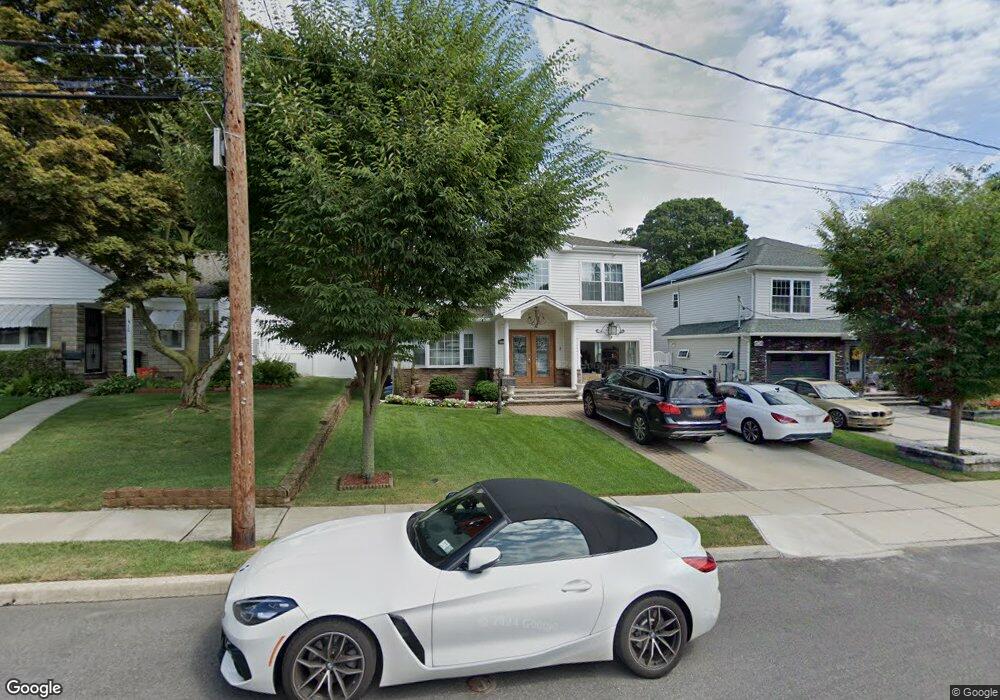
410 Cornell St West Hempstead, NY 11552
Estimated Value: $773,000
--
Bed
1
Bath
1,975
Sq Ft
$391/Sq Ft
Est. Value
About This Home
This home is located at 410 Cornell St, West Hempstead, NY 11552 and is currently estimated at $773,000, approximately $391 per square foot. 410 Cornell St is a home with nearby schools including Davison Avenue Intermediate School, Maurice W. Downing Primary K-2 School, and Howard T Herber Middle School.
Ownership History
Date
Name
Owned For
Owner Type
Purchase Details
Closed on
Dec 22, 2016
Sold by
Talag Christopher and Lipio-Talag Diane Krizel P
Bought by
Talag Christopher and Lipio-Talag Dianne Krizel P
Current Estimated Value
Purchase Details
Closed on
Mar 21, 2016
Sold by
Equivest Inc
Bought by
Talag Christopher and Lipio Talag Diane Krizelp
Home Financials for this Owner
Home Financials are based on the most recent Mortgage that was taken out on this home.
Original Mortgage
$421,229
Outstanding Balance
$339,895
Interest Rate
4.25%
Mortgage Type
FHA
Estimated Equity
$433,105
Create a Home Valuation Report for This Property
The Home Valuation Report is an in-depth analysis detailing your home's value as well as a comparison with similar homes in the area
Home Values in the Area
Average Home Value in this Area
Purchase History
| Date | Buyer | Sale Price | Title Company |
|---|---|---|---|
| Talag Christopher | -- | First American Title Insuran | |
| Talag Christopher | $429,858 | First American Title Insuran |
Source: Public Records
Mortgage History
| Date | Status | Borrower | Loan Amount |
|---|---|---|---|
| Open | Talag Christopher | $421,229 |
Source: Public Records
Tax History Compared to Growth
Tax History
| Year | Tax Paid | Tax Assessment Tax Assessment Total Assessment is a certain percentage of the fair market value that is determined by local assessors to be the total taxable value of land and additions on the property. | Land | Improvement |
|---|---|---|---|---|
| 2025 | $16,224 | $543 | $165 | $378 |
| 2024 | $5,163 | $537 | $164 | $373 |
| 2023 | $14,633 | $558 | $170 | $388 |
| 2022 | $13,945 | $557 | $170 | $387 |
| 2021 | $18,493 | $526 | $152 | $374 |
| 2020 | $12,007 | $602 | $234 | $368 |
| 2019 | $4,172 | $645 | $251 | $394 |
| 2018 | $7,975 | $432 | $0 | $0 |
| 2017 | $4,827 | $432 | $432 | $0 |
Source: Public Records
Map
Nearby Homes
- 437 Yale Ave
- 1259 Woodfield Rd
- 24 Lawrence Ave
- 1269 Dekoven St
- 492 Pershing Blvd
- 501 Lafayette Ave
- 402 Clinton Ave
- 65 Lakeside Dr
- 61 Maine Ave Unit F6
- 61 Maine Ave Unit D 14
- 61 Maine Ave Unit B21
- 61 Maine Ave Unit F25
- 529 Clinton Ave
- 419 Coolidge Ave
- 362 Langdon Blvd
- 82 Lakeview Ave
- 53 Ocean Ave
- 200 N Village Ave Unit B1
- 195 N Village Ave Unit D4
- 1090 Pinebrook Ct
- 404 Cornell St
- 416 Cornell Ave
- 398 Cornwell Ave
- 422 Cornell Ave
- 415 Cornell Ave
- 421 Cornell Ave
- 428 Cornell Ave
- 427 Cornell Ave
- 432 Cornell Ave
- 408 Yale Ave
- 414 Yale Ave
- 431 Cornell Ave
- 420 Yale Ave
- 20 Lakeview Ave
- 20 Lakeview Ave
- 426 Yale Ave
- 438 Cornell Ave
- 430 Yale Ave
- 439 Cornell Ave
- 444 Cornell Ave