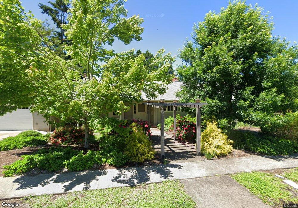
410 Dartmoor Dr Eugene, OR 97401
Harlow NeighborhoodEstimated Value: $758,000 - $967,000
4
Beds
2
Baths
2,600
Sq Ft
$341/Sq Ft
Est. Value
About This Home
This home is located at 410 Dartmoor Dr, Eugene, OR 97401 and is currently estimated at $885,842, approximately $340 per square foot. 410 Dartmoor Dr is a home located in Lane County with nearby schools including Holt Elementary School, Monroe Middle School, and Sheldon High School.
Ownership History
Date
Name
Owned For
Owner Type
Purchase Details
Closed on
Jun 3, 2025
Sold by
Petty Linn D and Petty Vicki L
Bought by
410 Dartmoor Dr Llc
Current Estimated Value
Home Financials for this Owner
Home Financials are based on the most recent Mortgage that was taken out on this home.
Original Mortgage
$338,000
Outstanding Balance
$332,046
Interest Rate
6.81%
Mortgage Type
Seller Take Back
Estimated Equity
$553,796
Purchase Details
Closed on
Jun 26, 2013
Sold by
Schmidt Calvin L
Bought by
Petty Linn D and Petty Vicki L
Home Financials for this Owner
Home Financials are based on the most recent Mortgage that was taken out on this home.
Original Mortgage
$288,000
Interest Rate
3.48%
Mortgage Type
New Conventional
Purchase Details
Closed on
Mar 29, 2013
Sold by
Schmidt Calvin L
Bought by
Schmidt Calvin L and Calvin L Schmidt Survivors Trust
Create a Home Valuation Report for This Property
The Home Valuation Report is an in-depth analysis detailing your home's value as well as a comparison with similar homes in the area
Home Values in the Area
Average Home Value in this Area
Purchase History
| Date | Buyer | Sale Price | Title Company |
|---|---|---|---|
| 410 Dartmoor Dr Llc | $950,000 | Evergreen Land Title | |
| Petty Linn D | $360,000 | First American Title | |
| Schmidt Calvin L | -- | None Available |
Source: Public Records
Mortgage History
| Date | Status | Borrower | Loan Amount |
|---|---|---|---|
| Open | 410 Dartmoor Dr Llc | $338,000 | |
| Previous Owner | Petty Linn D | $288,000 |
Source: Public Records
Tax History
| Year | Tax Paid | Tax Assessment Tax Assessment Total Assessment is a certain percentage of the fair market value that is determined by local assessors to be the total taxable value of land and additions on the property. | Land | Improvement |
|---|---|---|---|---|
| 2025 | $7,512 | $385,570 | -- | -- |
| 2024 | $7,419 | $374,340 | -- | -- |
| 2023 | $7,419 | $363,437 | -- | -- |
| 2022 | $6,950 | $352,852 | $0 | $0 |
| 2021 | $6,528 | $342,575 | $0 | $0 |
| 2020 | $6,551 | $332,598 | $0 | $0 |
| 2019 | $6,327 | $322,911 | $0 | $0 |
| 2018 | $5,956 | $304,375 | $0 | $0 |
| 2017 | $5,689 | $304,375 | $0 | $0 |
| 2016 | $5,466 | $295,510 | $0 | $0 |
| 2015 | $5,300 | $286,903 | $0 | $0 |
| 2014 | $4,724 | $253,390 | $0 | $0 |
Source: Public Records
Map
Nearby Homes
- 2994 Dapple Way
- 341 Ransom Ct
- 280 Regal Ct
- 2746 Harlow Rd
- 2872 Suffolk Ct
- 600 Cherry Dr Unit 8
- 347 Rustic Place Unit 14
- 2355 Pioneer Pike
- 950 Coburg Rd
- 3460 Oxbow Way
- 825 Waverly St
- 3579 Oxbow Way
- 820 Lariat Dr
- 1038 President St
- 3025 Bailey Ln
- 446 Kodiak St
- 1270 Calvin St
- 2036 Eastwood Ln
- 2150 Greenview St
- 1271 Arcadia Dr
- 2840 Dapple Ct
- 392 Dartmoor Dr
- 395 Dartmoor Dr
- 2830 Dapple Ct
- 490 Dartmoor Dr
- 387 Dartmoor Dr
- 384 Dartmoor Dr
- 415 Dartmoor Dr
- 2916 Dapple Way
- 2825 Dapple Ct
- 510 Dartmoor Dr
- 415 Walnut Ln
- 477 Dartmoor Dr
- 395 Walnut Ln
- 365 Dartmoor Dr
- 361 Ransom Ct
- 368 Dartmoor Dr
- 499 Walnut Ln
- 408 Palomino Dr
- 532 Dartmoor Dr
Your Personal Tour Guide
Ask me questions while you tour the home.