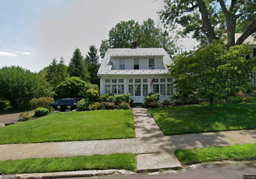
410 E State St Doylestown, PA 18901
Estimated Value: $698,206 - $889,000
3
Beds
2
Baths
1,620
Sq Ft
$472/Sq Ft
Est. Value
About This Home
This home is located at 410 E State St, Doylestown, PA 18901 and is currently estimated at $764,552, approximately $471 per square foot. 410 E State St is a home located in Bucks County with nearby schools including Linden El School, Lenape Middle School, and Central Bucks High School-West.
Ownership History
Date
Name
Owned For
Owner Type
Purchase Details
Closed on
Oct 31, 2003
Sold by
Winters Kristin A and Winters Michael A
Bought by
Killila Anne E
Current Estimated Value
Home Financials for this Owner
Home Financials are based on the most recent Mortgage that was taken out on this home.
Original Mortgage
$200,000
Interest Rate
6.05%
Mortgage Type
Purchase Money Mortgage
Purchase Details
Closed on
Oct 2, 1998
Sold by
Post Robert F and Post Elizabeth D
Bought by
Winters Kristin A and Winters Michael A
Home Financials for this Owner
Home Financials are based on the most recent Mortgage that was taken out on this home.
Original Mortgage
$170,000
Interest Rate
6.8%
Purchase Details
Closed on
Jun 30, 1997
Sold by
Lavake Thomas W and Licata Lisa P
Bought by
Post Robert F and Post Elizabeth D
Home Financials for this Owner
Home Financials are based on the most recent Mortgage that was taken out on this home.
Original Mortgage
$134,200
Interest Rate
7.87%
Create a Home Valuation Report for This Property
The Home Valuation Report is an in-depth analysis detailing your home's value as well as a comparison with similar homes in the area
Home Values in the Area
Average Home Value in this Area
Purchase History
| Date | Buyer | Sale Price | Title Company |
|---|---|---|---|
| Killila Anne E | $415,000 | -- | |
| Winters Kristin A | $212,500 | -- | |
| Post Robert F | $179,000 | -- |
Source: Public Records
Mortgage History
| Date | Status | Borrower | Loan Amount |
|---|---|---|---|
| Closed | Killila Anne E | $200,000 | |
| Previous Owner | Winters Kristin A | $170,000 | |
| Previous Owner | Post Robert F | $134,200 |
Source: Public Records
Tax History
| Year | Tax Paid | Tax Assessment Tax Assessment Total Assessment is a certain percentage of the fair market value that is determined by local assessors to be the total taxable value of land and additions on the property. | Land | Improvement |
|---|---|---|---|---|
| 2025 | $3,747 | $20,800 | $7,080 | $13,720 |
| 2024 | $3,747 | $20,800 | $7,080 | $13,720 |
| 2023 | $3,570 | $20,800 | $7,080 | $13,720 |
| 2022 | $3,520 | $20,800 | $7,080 | $13,720 |
| 2021 | $3,482 | $20,800 | $7,080 | $13,720 |
| 2020 | $3,443 | $20,800 | $7,080 | $13,720 |
| 2019 | $3,405 | $20,800 | $7,080 | $13,720 |
| 2018 | $3,364 | $20,800 | $7,080 | $13,720 |
| 2017 | $3,329 | $20,800 | $7,080 | $13,720 |
| 2016 | $3,329 | $20,800 | $7,080 | $13,720 |
| 2015 | -- | $20,800 | $7,080 | $13,720 |
| 2014 | -- | $20,800 | $7,080 | $13,720 |
Source: Public Records
Map
Nearby Homes
- 110 E Ashland St
- 146 E Court St
- 9 Maple Ln
- 69 E Oakland Ave
- 150 Selner Ln
- 236 Green St
- 34 Houk Rd
- 5 Belmont Square
- 169 N Main St
- 607 S Chubb Dr
- 102 Clear Springs Ct
- 45 Springs Dr
- 000 Cherry Ln
- 190 Decatur St
- 1 Steeplechase Dr
- 195 Lafayette St
- 223 Cherry Ln
- 150 Watercrest Dr
- 215 N Franklin St
- 117 Windover Ln
- 408 E State St
- 412 E State St
- 344 E State St
- 11 Mckinstry Dr
- 342 E Ashland St
- 30 Golf View Rd
- 5 Mckinstry Dr
- 403 E State St
- 417 E State St
- 387 E State St
- 340 E Ashland St
- 413 E State St
- 375 E State St
- 338 E Ashland St
- 24 Golf View Rd
- 442 Boro Mill Hill Rd
- 395 E State St
- 336 E Ashland St
- 443 E State St
- 335 E Ashland St
Your Personal Tour Guide
Ask me questions while you tour the home.