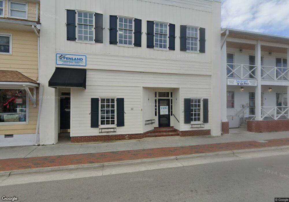
410 Front St Beaufort, NC 28516
Estimated Value: $1,631,435
--
Bed
4
Baths
4,508
Sq Ft
$362/Sq Ft
Est. Value
About This Home
This home is located at 410 Front St, Beaufort, NC 28516 and is currently estimated at $1,631,435, approximately $361 per square foot. 410 Front St is a home located in Carteret County with nearby schools including Beaufort Elementary School, Beaufort Middle School, and East Carteret High School.
Ownership History
Date
Name
Owned For
Owner Type
Purchase Details
Closed on
Apr 11, 2023
Sold by
Wheatly Properties Llc
Bought by
Salty Vibes Llc
Current Estimated Value
Home Financials for this Owner
Home Financials are based on the most recent Mortgage that was taken out on this home.
Original Mortgage
$1,003,000
Outstanding Balance
$975,378
Interest Rate
6.65%
Mortgage Type
New Conventional
Estimated Equity
$656,057
Purchase Details
Closed on
Jul 11, 2017
Sold by
Wheatly Claud R and Wheatly Joyce
Bought by
Wheatly Properties Llc
Create a Home Valuation Report for This Property
The Home Valuation Report is an in-depth analysis detailing your home's value as well as a comparison with similar homes in the area
Home Values in the Area
Average Home Value in this Area
Purchase History
| Date | Buyer | Sale Price | Title Company |
|---|---|---|---|
| Salty Vibes Llc | $3,000 | None Listed On Document | |
| Wheatly Properties Llc | -- | None Available |
Source: Public Records
Mortgage History
| Date | Status | Borrower | Loan Amount |
|---|---|---|---|
| Open | Salty Vibes Llc | $1,003,000 |
Source: Public Records
Tax History Compared to Growth
Tax History
| Year | Tax Paid | Tax Assessment Tax Assessment Total Assessment is a certain percentage of the fair market value that is determined by local assessors to be the total taxable value of land and additions on the property. | Land | Improvement |
|---|---|---|---|---|
| 2025 | $8,623 | $1,505,255 | $612,500 | $892,755 |
| 2024 | $5,634 | $629,712 | $368,298 | $261,414 |
| 2023 | $5,479 | $629,712 | $368,298 | $261,414 |
| 2022 | $5,416 | $629,712 | $368,298 | $261,414 |
| 2021 | $5,416 | $629,712 | $368,298 | $261,414 |
| 2020 | $5,416 | $629,712 | $368,298 | $261,414 |
| 2019 | $4,584 | $544,752 | $344,055 | $200,697 |
| 2017 | $4,070 | $528,926 | $344,055 | $184,871 |
| 2016 | $3,832 | $528,926 | $344,055 | $184,871 |
| 2015 | $3,779 | $528,926 | $344,055 | $184,871 |
| 2014 | $2,656 | $388,408 | $233,433 | $154,975 |
Source: Public Records
Map
Nearby Homes
- 200 Craven St
- 217 Turner St
- 301 Broad St
- 217 Broad St
- 601 Craven St
- 708 Ann St
- 104 Gallants Ln
- 717 Cedar St Unit 1/2
- 420 Pollock St
- 301 Hedrick St
- 1011 Front St Unit 3A
- 805 Mulberry St Unit 202
- 805 Mulberry St Unit 204
- 805 Mulberry St Unit 105
- 805 Mulberry St Unit 201
- 805 Mulberry St Unit 104
- 805 Mulberry St Unit 103
- 805 Mulberry St Unit 102
- 805 Mulberry St Unit 101
- 1308 Ann St Unit 16