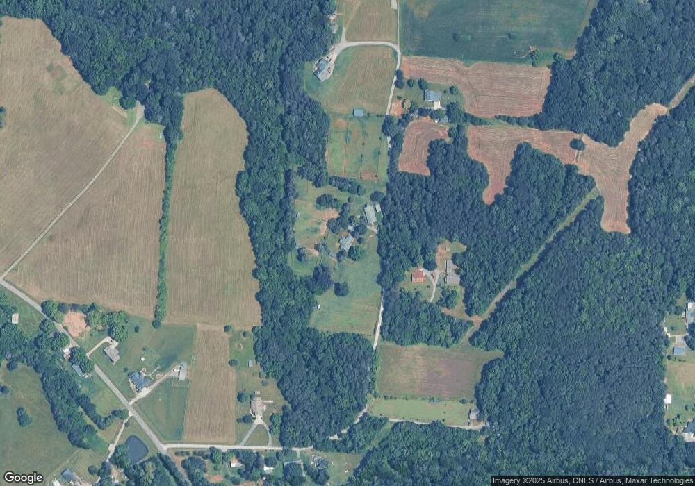
410 Haynes Dr Unit NULL Salisbury, NC 28146
Estimated Value: $530,000 - $762,000
4
Beds
3
Baths
1,246
Sq Ft
$506/Sq Ft
Est. Value
About This Home
This home is located at 410 Haynes Dr Unit NULL, Salisbury, NC 28146 and is currently estimated at $630,833, approximately $506 per square foot. 410 Haynes Dr Unit NULL is a home located in Rowan County with nearby schools including Rockwell Elementary School, Charles C Erwin Middle School, and East Rowan High School.
Ownership History
Date
Name
Owned For
Owner Type
Purchase Details
Closed on
Jan 24, 2012
Sold by
Cline Jeffrey M and Cline Linda A
Bought by
Mitchell Sara Ann and Basso Daniel A
Current Estimated Value
Home Financials for this Owner
Home Financials are based on the most recent Mortgage that was taken out on this home.
Original Mortgage
$328,000
Outstanding Balance
$225,082
Interest Rate
4%
Mortgage Type
New Conventional
Estimated Equity
$405,751
Create a Home Valuation Report for This Property
The Home Valuation Report is an in-depth analysis detailing your home's value as well as a comparison with similar homes in the area
Home Values in the Area
Average Home Value in this Area
Purchase History
| Date | Buyer | Sale Price | Title Company |
|---|---|---|---|
| Mitchell Sara Ann | $410,000 | None Available |
Source: Public Records
Mortgage History
| Date | Status | Borrower | Loan Amount |
|---|---|---|---|
| Open | Mitchell Sara Ann | $328,000 |
Source: Public Records
Tax History Compared to Growth
Tax History
| Year | Tax Paid | Tax Assessment Tax Assessment Total Assessment is a certain percentage of the fair market value that is determined by local assessors to be the total taxable value of land and additions on the property. | Land | Improvement |
|---|---|---|---|---|
| 2025 | $3,146 | $469,537 | $145,229 | $324,308 |
| 2024 | $3,146 | $469,537 | $145,229 | $324,308 |
| 2023 | $3,146 | $469,537 | $145,229 | $324,308 |
| 2022 | $2,590 | $346,479 | $114,834 | $231,645 |
| 2021 | $2,590 | $346,479 | $114,834 | $231,645 |
| 2020 | $2,590 | $346,479 | $114,834 | $231,645 |
| 2019 | $2,590 | $346,479 | $114,834 | $231,645 |
| 2018 | $2,588 | $349,140 | $114,833 | $234,307 |
| 2017 | $2,588 | $349,140 | $114,833 | $234,307 |
| 2016 | $2,588 | $349,140 | $114,833 | $234,307 |
| 2015 | $2,627 | $349,140 | $114,833 | $234,307 |
| 2014 | $1,905 | $264,636 | $114,833 | $149,803 |
Source: Public Records
Map
Nearby Homes
- 1113 Gillan Dr
- 1170 Gold Knob Rd
- 0000 Celestial Dr
- 660 Sides Rd
- 574 Crescent Rd
- 11155 & 11165 U S Route 52
- 11165 U S Route 52
- 11155 U S Route 52
- 0 U S Route 52
- 307 Gold Hill Ave
- 206 N Trexler Ave
- 320 Carolina Ave
- 206 Trexler Ave
- 509 E Main St
- 222 E Main St
- 10637 Highway 52
- 11165 Highway 52 Hwy
- Lot 11 Emanuel Church Rd
- 0 Cornelius Rd
- 235 Huntington Ridge Dr
