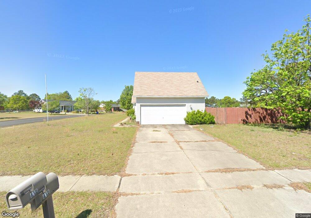
410 Kernstown Rd Raeford, NC 28376
Estimated Value: $236,000 - $245,000
--
Bed
2
Baths
1,445
Sq Ft
$167/Sq Ft
Est. Value
About This Home
This home is located at 410 Kernstown Rd, Raeford, NC 28376 and is currently estimated at $241,690, approximately $167 per square foot. 410 Kernstown Rd is a home located in Hoke County with nearby schools including Sandy Grove Elementary School, Sandy Grove Middle School, and Hoke County High.
Ownership History
Date
Name
Owned For
Owner Type
Purchase Details
Closed on
Jun 4, 2025
Sold by
Storr Gayle G and Sessions Gayle G
Bought by
Kernstown Properties Llc
Current Estimated Value
Purchase Details
Closed on
Sep 27, 2012
Sold by
Sessions Christopher
Bought by
Sessions Gayle G
Home Financials for this Owner
Home Financials are based on the most recent Mortgage that was taken out on this home.
Original Mortgage
$85,692
Interest Rate
3.6%
Create a Home Valuation Report for This Property
The Home Valuation Report is an in-depth analysis detailing your home's value as well as a comparison with similar homes in the area
Home Values in the Area
Average Home Value in this Area
Purchase History
| Date | Buyer | Sale Price | Title Company |
|---|---|---|---|
| Kernstown Properties Llc | -- | None Listed On Document | |
| Kernstown Properties Llc | -- | None Listed On Document | |
| Sessions Gayle G | -- | None Available | |
| Storr Robert A | -- | None Available |
Source: Public Records
Mortgage History
| Date | Status | Borrower | Loan Amount |
|---|---|---|---|
| Previous Owner | Sessions Gayle G | $85,692 |
Source: Public Records
Tax History Compared to Growth
Tax History
| Year | Tax Paid | Tax Assessment Tax Assessment Total Assessment is a certain percentage of the fair market value that is determined by local assessors to be the total taxable value of land and additions on the property. | Land | Improvement |
|---|---|---|---|---|
| 2024 | $1,457 | $161,810 | $22,000 | $139,810 |
| 2023 | $1,457 | $161,810 | $22,000 | $139,810 |
| 2022 | $0 | $161,810 | $22,000 | $139,810 |
| 2021 | $0 | $139,230 | $22,000 | $117,230 |
| 2020 | $1,298 | $139,230 | $22,000 | $117,230 |
| 2019 | $1,298 | $139,230 | $22,000 | $117,230 |
| 2018 | $1,298 | $139,230 | $22,000 | $117,230 |
| 2017 | $1,298 | $139,230 | $22,000 | $117,230 |
| 2016 | $1,274 | $139,230 | $22,000 | $117,230 |
| 2015 | $1,274 | $139,230 | $22,000 | $117,230 |
| 2014 | $1,252 | $139,230 | $22,000 | $117,230 |
| 2013 | -- | $119,380 | $19,000 | $100,380 |
Source: Public Records
Map
Nearby Homes
- 311 Kernstown Rd
- 9701 Rockfish Rd
- 162 E Twelve Oaks Rd
- 121 Michael Dr
- 658 Copper Creek Dr
- 230 Michael Dr
- 125 Hillcreek Dr
- 105 Hillcreek Dr
- Lot 14 Myra Rd
- 152 Sandspur Ct
- 7344 Mariners Landing Dr
- 104 Hillcreek Dr
- 269 Sweet William Way
- 2713 Crestridge Ct
- 249 High Leaf Dr
- 3523 Farm Circle Rd
- 7248 Cayman Dr
- 7091 Lamplighter Dr
- 408 Kernstown Rd
- 105 Amber Ln
- 108 Amber Ln
- 406 Kernstown Rd
- 106 Amber Ln
- 407 Kernstown Rd
- 409 Kernstown Rd
- 411 Kernstown Rd
- 103 Amber Ln
- 104 Amber Ln
- 501 Kernstown Rd
- 508 Kernstown Rd
- 405 Kernstown Rd
- 108 Laura Ln
- 503 Kernstown Rd
- 106 Laura Ln
- 104 Laura Ln
- 301 Stonewall St
- 512 Kernstown Rd
- 205 Stonewall St