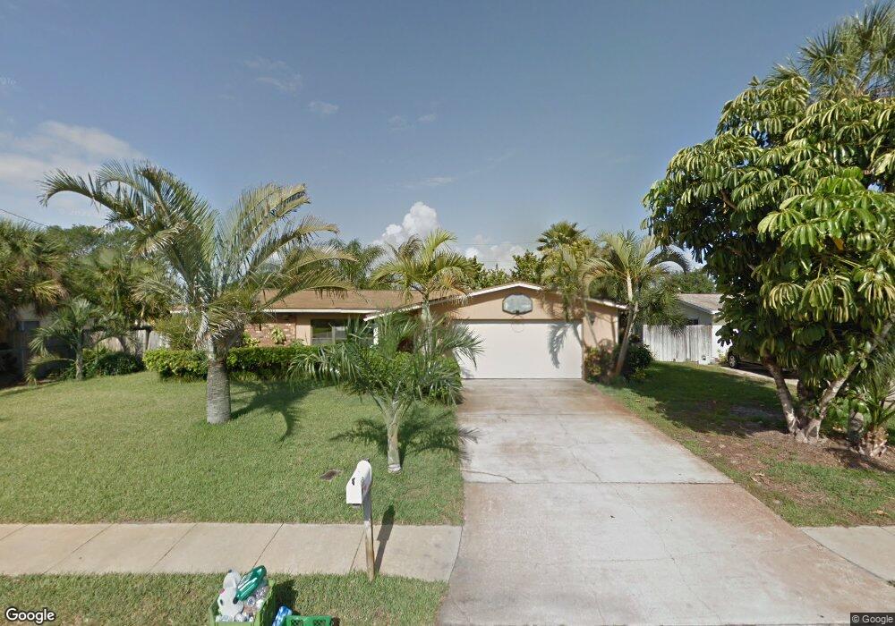
410 Laurel St Satellite Beach, FL 32937
Estimated Value: $424,000 - $501,000
3
Beds
2
Baths
1,920
Sq Ft
$248/Sq Ft
Est. Value
About This Home
This home is located at 410 Laurel St, Satellite Beach, FL 32937 and is currently estimated at $476,567, approximately $248 per square foot. 410 Laurel St is a home located in Brevard County with nearby schools including Surfside Elementary School, Satellite Senior High School, and DeLaura Middle School.
Ownership History
Date
Name
Owned For
Owner Type
Purchase Details
Closed on
Apr 15, 2005
Sold by
Mclaughlin John F and Mclaughlin Charity L
Bought by
Mclaughlin John F and Mclauglin Charity L
Current Estimated Value
Home Financials for this Owner
Home Financials are based on the most recent Mortgage that was taken out on this home.
Original Mortgage
$204,000
Outstanding Balance
$105,955
Interest Rate
5.88%
Estimated Equity
$370,612
Purchase Details
Closed on
Sep 17, 1997
Sold by
Hartmann Joann M
Bought by
Mclaughlin John F
Home Financials for this Owner
Home Financials are based on the most recent Mortgage that was taken out on this home.
Original Mortgage
$90,440
Interest Rate
7.46%
Create a Home Valuation Report for This Property
The Home Valuation Report is an in-depth analysis detailing your home's value as well as a comparison with similar homes in the area
Home Values in the Area
Average Home Value in this Area
Purchase History
| Date | Buyer | Sale Price | Title Company |
|---|---|---|---|
| Mclaughlin John F | -- | East Coast Title | |
| Mclaughlin John F | $90,500 | -- |
Source: Public Records
Mortgage History
| Date | Status | Borrower | Loan Amount |
|---|---|---|---|
| Open | Mclaughlin John F | $204,000 | |
| Previous Owner | Mclaughlin John F | $90,440 |
Source: Public Records
Tax History Compared to Growth
Tax History
| Year | Tax Paid | Tax Assessment Tax Assessment Total Assessment is a certain percentage of the fair market value that is determined by local assessors to be the total taxable value of land and additions on the property. | Land | Improvement |
|---|---|---|---|---|
| 2025 | $2,050 | $143,180 | -- | -- |
| 2024 | $2,008 | $139,150 | -- | -- |
| 2023 | $2,008 | $135,100 | $0 | $0 |
| 2022 | $1,871 | $131,170 | $0 | $0 |
| 2021 | $1,913 | $127,350 | $0 | $0 |
| 2020 | $1,903 | $125,600 | $0 | $0 |
| 2019 | $1,883 | $122,780 | $0 | $0 |
| 2018 | $1,878 | $120,500 | $0 | $0 |
| 2017 | $1,728 | $118,030 | $0 | $0 |
| 2016 | $1,728 | $115,610 | $85,000 | $30,610 |
| 2015 | $1,767 | $114,810 | $75,000 | $39,810 |
| 2014 | $1,766 | $113,900 | $70,000 | $43,900 |
Source: Public Records
Map
Nearby Homes
- 445 Saint Johns Dr
- 502 Bay Cir
- 368 Ocean Spray Ave
- 366 Ocean Spray Ave
- 370 Cinnamon Dr
- 408 Hawthorne Ct
- 380 Cherry Ct
- 1341 S Patrick Dr
- 426 Hawthorne Ct Unit G2
- 431 E Amherst Cir
- 545 Teakwood Ave
- 295 Cinnamon Dr
- 443 Hawthorne Ct
- 435 Desoto Pkwy
- 320 Glenwood Ave
- 527 Summerset Ct
- 310 Glenwood Ave
- 298 Harwood Ave
- 484 Greenway Ave
- 445 Park Ave
- 408 Laurel St
- 420 Laurel St
- 406 Laurel St
- 450 Laurel Ct
- 430 Laurel St
- 455 Laurel Ct
- 455 Ocean Spray Ave
- 404 Laurel St
- 440 Laurel St
- 450 Rosedale Dr
- 445 Ocean Spray Ave
- 452 Laurel Ct
- 454 Laurel Ct
- 453 Laurel Ct
- 400 Laurel St
- 446 Rosedale Dr
- 450 Laurel St
- 450 Ocean Spray Ave
- 435 Ocean Spray Ave
- 444 Rosedale Dr