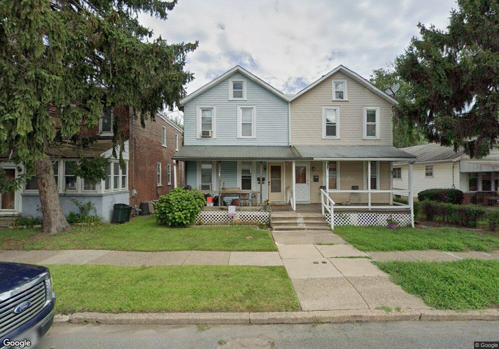
410 Manhattan St Essington, PA 19029
Estimated Value: $222,000 - $249,000
3
Beds
1
Bath
1,392
Sq Ft
$168/Sq Ft
Est. Value
About This Home
This home is located at 410 Manhattan St, Essington, PA 19029 and is currently estimated at $233,830, approximately $167 per square foot. 410 Manhattan St is a home located in Delaware County with nearby schools including Interboro Senior High School and St James Regional Catholic School.
Ownership History
Date
Name
Owned For
Owner Type
Purchase Details
Closed on
Apr 25, 2002
Sold by
Tobin Joseph F and Tobin Teresa M
Bought by
Troxel Albert and Troxel Kimberly
Current Estimated Value
Home Financials for this Owner
Home Financials are based on the most recent Mortgage that was taken out on this home.
Original Mortgage
$86,317
Outstanding Balance
$36,395
Interest Rate
7.05%
Mortgage Type
FHA
Estimated Equity
$197,435
Purchase Details
Closed on
Mar 19, 1999
Sold by
Tobin Joseph F and Tobin Teresa M
Bought by
Tobin Joseph F and Tobin Teresa M
Create a Home Valuation Report for This Property
The Home Valuation Report is an in-depth analysis detailing your home's value as well as a comparison with similar homes in the area
Home Values in the Area
Average Home Value in this Area
Purchase History
| Date | Buyer | Sale Price | Title Company |
|---|---|---|---|
| Troxel Albert | $87,000 | -- | |
| Tobin Joseph F | -- | -- |
Source: Public Records
Mortgage History
| Date | Status | Borrower | Loan Amount |
|---|---|---|---|
| Open | Troxel Albert | $86,317 |
Source: Public Records
Tax History Compared to Growth
Tax History
| Year | Tax Paid | Tax Assessment Tax Assessment Total Assessment is a certain percentage of the fair market value that is determined by local assessors to be the total taxable value of land and additions on the property. | Land | Improvement |
|---|---|---|---|---|
| 2025 | $3,763 | $119,040 | $30,690 | $88,350 |
| 2024 | $3,763 | $119,040 | $30,690 | $88,350 |
| 2023 | $3,700 | $119,040 | $30,690 | $88,350 |
| 2022 | $3,632 | $119,040 | $30,690 | $88,350 |
| 2021 | $5,379 | $119,040 | $30,690 | $88,350 |
| 2020 | $3,423 | $72,780 | $21,920 | $50,860 |
| 2019 | $3,418 | $72,780 | $21,920 | $50,860 |
| 2018 | $3,351 | $72,780 | $0 | $0 |
| 2017 | $3,269 | $72,780 | $0 | $0 |
| 2016 | $399 | $72,780 | $0 | $0 |
| 2015 | $399 | $72,780 | $0 | $0 |
| 2014 | $399 | $72,780 | $0 | $0 |
Source: Public Records
Map
Nearby Homes
- 436 Manhattan St
- 210 Powhattan Ave
- 125 S Governor Printz Blvd
- 307 Jansen Ave
- 231 Bartram Ave
- 229 Saude Ave
- 120 Bartram Ave
- 207 Carre Ave
- 403 Printz Ave
- 1062 Taylor Dr
- 69 Martin Ln
- 536 E Winona Ave
- 1158 Taylor Dr
- 508 E Winona Ave
- 512 Essex Rd
- 952 Grant Rd
- 1946 Carter Rd
- 20 Martin Ln
- 810 Bennington Rd
- 784 Bennington Rd
- 408 Manhattan St
- 412 Manhattan St
- 406 Manhattan St
- 404 Manhattan St
- 416 Manhattan St
- 402 Manhattan St
- 417 Manhattan St
- 407 Seminole St
- 405 Seminole St
- 414 Seminole St
- 1201 4th Ave
- 422 Manhattan St
- 1203 4th Ave
- 409 Manhattan St
- 411 Manhattan St
- 0 Manhattan St Unit 5712809
- 0 Manhattan St Unit 5823802
- 0 Manhattan St Unit 5823769
- 0 Manhattan St Unit 5823726
- 0 Manhattan St Unit 6104731