410 Martin Dr Millersville, MD 21108
Estimated Value: $397,000 - $453,000
3
Beds
1
Bath
976
Sq Ft
$428/Sq Ft
Est. Value
About This Home
This home is located at 410 Martin Dr, Millersville, MD 21108 and is currently estimated at $417,547, approximately $427 per square foot. 410 Martin Dr is a home located in Anne Arundel County with nearby schools including Southgate Elementary School, Old Mill Middle School North, and Old Mill High School.
Ownership History
Date
Name
Owned For
Owner Type
Purchase Details
Closed on
Oct 14, 2011
Sold by
Lay Harry W and Lay Jean H
Bought by
Evans John R and Nelton Evans Diane M
Current Estimated Value
Home Financials for this Owner
Home Financials are based on the most recent Mortgage that was taken out on this home.
Original Mortgage
$152,750
Outstanding Balance
$104,232
Interest Rate
4.11%
Mortgage Type
New Conventional
Estimated Equity
$313,315
Purchase Details
Closed on
Jun 5, 2002
Sold by
Lay Harry W
Bought by
Lay Harry W and Lay Jean H
Create a Home Valuation Report for This Property
The Home Valuation Report is an in-depth analysis detailing your home's value as well as a comparison with similar homes in the area
Home Values in the Area
Average Home Value in this Area
Purchase History
| Date | Buyer | Sale Price | Title Company |
|---|---|---|---|
| Evans John R | $235,000 | Lakeside Title Company | |
| Lay Harry W | -- | -- |
Source: Public Records
Mortgage History
| Date | Status | Borrower | Loan Amount |
|---|---|---|---|
| Open | Evans John R | $152,750 |
Source: Public Records
Tax History Compared to Growth
Tax History
| Year | Tax Paid | Tax Assessment Tax Assessment Total Assessment is a certain percentage of the fair market value that is determined by local assessors to be the total taxable value of land and additions on the property. | Land | Improvement |
|---|---|---|---|---|
| 2025 | $3,969 | $368,600 | -- | -- |
| 2024 | $3,969 | $353,900 | $241,100 | $112,800 |
| 2023 | $3,861 | $344,067 | $0 | $0 |
| 2022 | $3,610 | $334,233 | $0 | $0 |
| 2021 | $7,091 | $324,400 | $210,800 | $113,600 |
| 2020 | $3,448 | $320,533 | $0 | $0 |
| 2019 | $3,395 | $316,667 | $0 | $0 |
| 2018 | $3,172 | $312,800 | $200,800 | $112,000 |
| 2017 | $3,190 | $293,933 | $0 | $0 |
| 2016 | -- | $275,067 | $0 | $0 |
| 2015 | -- | $256,200 | $0 | $0 |
| 2014 | -- | $256,200 | $0 | $0 |
Source: Public Records
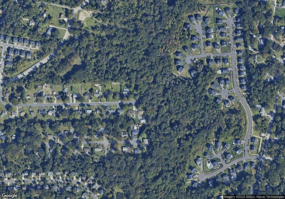
Map
Nearby Homes
- 8206 Derrymore Ct
- 0 Connors Ln
- 8262 Kippis Rd
- 8297 Kippis Rd
- 460 Marianna Dr
- 307 Sorel Ct
- 8253 Rupert Rd S
- 8251 Rupert Rd S
- 401 Green Grove Ct
- 258 Poplar Rd
- 759 Stacy Oak Way
- 8383 Sycamore Rd
- 8224 Bernard Dr N
- 304 W Pasadena Rd
- 8381 Amber Beacon Cir
- 601 Brightwood Rd
- 15 Tremont Dr
- 266 Nathan Way
- 258 Nathan Way
- 8011 Horicon Point Dr
- 418 Martin Dr
- 417 Martin Dr
- 422 Martin Dr
- 423 Martin Dr
- 429 Martin Dr
- 428 Martin Dr
- 444 Brightwood Rd
- 435 Martin Dr
- 434 Martin Dr
- 450 Brightwood Rd
- 443 Brightwood Rd
- 211 Lisburn Ct
- 456 Brightwood Rd
- 440 Martin Dr
- 213 Lisburn Ct
- 441 Martin Dr
- 214 Lisburn Ct
- 449 Brightwood Rd
- 209 Lisburn Ct
- 455 Brightwood Rd