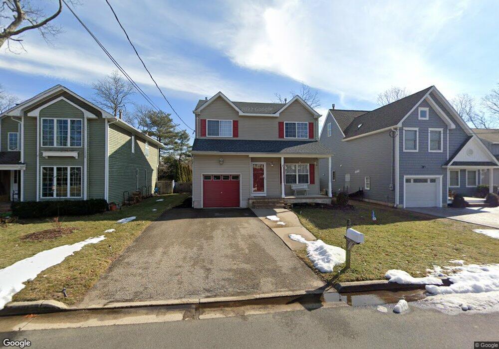
410 Matt Robinson Ln Point Pleasant Boro, NJ 08742
Estimated Value: $822,000 - $967,000
3
Beds
3
Baths
3,030
Sq Ft
$296/Sq Ft
Est. Value
About This Home
This home is located at 410 Matt Robinson Ln, Point Pleasant Boro, NJ 08742 and is currently estimated at $896,826, approximately $295 per square foot. 410 Matt Robinson Ln is a home located in Ocean County with nearby schools including Point Pleasant High School, St Dominic School, and St. Peter School.
Ownership History
Date
Name
Owned For
Owner Type
Purchase Details
Closed on
Jan 22, 2020
Sold by
Hewitt John F
Bought by
Hewitt Jill M and Hewitt Jill Apito
Current Estimated Value
Home Financials for this Owner
Home Financials are based on the most recent Mortgage that was taken out on this home.
Original Mortgage
$380,000
Outstanding Balance
$260,742
Interest Rate
3.74%
Mortgage Type
New Conventional
Estimated Equity
$636,084
Purchase Details
Closed on
Feb 4, 2000
Purchase Details
Closed on
Sep 10, 1999
Sold by
Meslanek Paul R and Maslanek Anita
Bought by
Bobowski Catherine
Purchase Details
Closed on
Aug 10, 1998
Sold by
Robinson Theodore H and Robinson Joyce C
Bought by
Maslanek Paul R and Maslanek Anita
Create a Home Valuation Report for This Property
The Home Valuation Report is an in-depth analysis detailing your home's value as well as a comparison with similar homes in the area
Home Values in the Area
Average Home Value in this Area
Purchase History
| Date | Buyer | Sale Price | Title Company |
|---|---|---|---|
| Hewitt Jill M | -- | Counsellors Title Agency Inc | |
| -- | $247,900 | -- | |
| Bobowski Catherine | $87,000 | Old Republic Title | |
| Maslanek Paul R | $75,000 | -- |
Source: Public Records
Mortgage History
| Date | Status | Borrower | Loan Amount |
|---|---|---|---|
| Open | Hewitt Jill M | $380,000 |
Source: Public Records
Tax History Compared to Growth
Tax History
| Year | Tax Paid | Tax Assessment Tax Assessment Total Assessment is a certain percentage of the fair market value that is determined by local assessors to be the total taxable value of land and additions on the property. | Land | Improvement |
|---|---|---|---|---|
| 2025 | $9,239 | $404,000 | $179,300 | $224,700 |
| 2024 | $8,831 | $404,000 | $179,300 | $224,700 |
| 2023 | $8,650 | $404,000 | $179,300 | $224,700 |
| 2022 | $8,650 | $404,000 | $179,300 | $224,700 |
| 2021 | $8,516 | $404,000 | $179,300 | $224,700 |
| 2020 | $8,427 | $404,000 | $179,300 | $224,700 |
| 2019 | $8,314 | $404,000 | $179,300 | $224,700 |
| 2018 | $8,068 | $404,000 | $179,300 | $224,700 |
| 2017 | $7,890 | $404,000 | $179,300 | $224,700 |
| 2016 | $7,830 | $404,000 | $179,300 | $224,700 |
| 2015 | $7,737 | $404,000 | $179,300 | $224,700 |
| 2014 | $7,559 | $404,000 | $179,300 | $224,700 |
Source: Public Records
Map
Nearby Homes
- 305 Barbara Dr
- 3006 Herbertsville Rd
- 519 Curtis Ave
- 3000 River Rd Unit 3000 & 3000A
- 602 Boulton Ave
- 103 River Ave
- 611 Boulton Ave
- 239 Jaehnel Pkwy
- 2704 Route 88
- 1027 Ocean Rd
- 2607 Spruce St
- 709 Albert E Clifton Ave
- 2409 Cedar St
- 506 Crestview Terrace
- 2201 River Rd Unit 4401
- 531 Oak Terrace
- 208 Giese Ln
- 113 Meadow Point Rd
- 713 Beaver Dam Rd
- 2001 Veterans Memorial Dr
- 412 Matt Robinson Ln
- 408 Matt Robinson Ln
- 406 Matt Robinson Ln
- 2613 Herbertsville Rd
- 416 Matt Robinson Ln
- 404 Matt Robinson Ln
- 2610 Allen St
- 411 Matt Robinson Ln
- 409 Matt Robinson Ln
- 413 Matt Robinson Ln
- 407 Matt Robinson Ln
- 402 Matt Robinson Ln
- 2608 Allen St
- 415 Matt Robinson Ln
- 2615 Herbertsville Rd
- 2701 Herbertsville Rd
- 2611 Allen St
- 405 Matt Robinson Ln
- 2611 Herbertsville Rd
- 417 Matt Robinson Ln