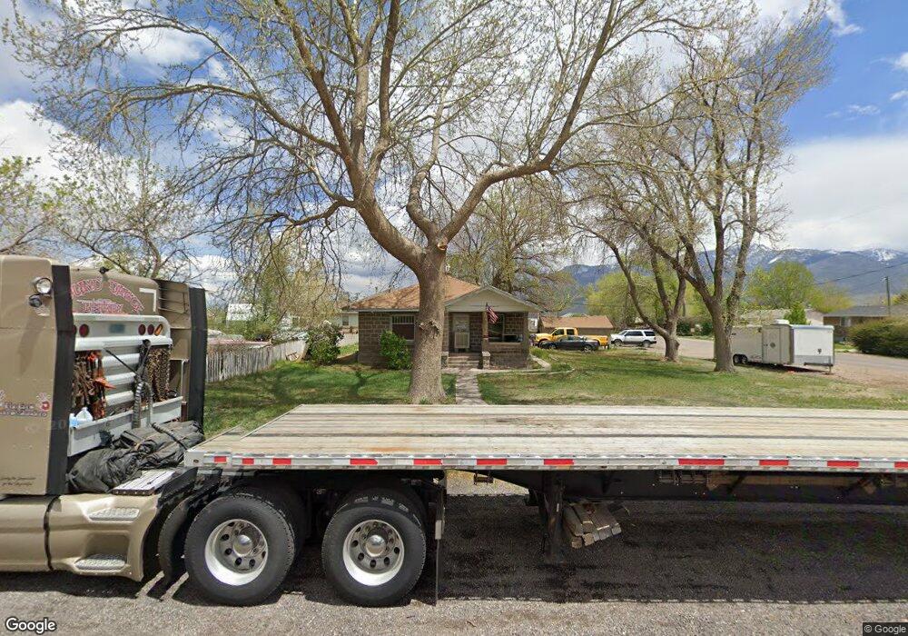
410 N 100 E Elsinore, UT 84724
Estimated Value: $214,000 - $293,000
3
Beds
1
Bath
1,636
Sq Ft
$157/Sq Ft
Est. Value
About This Home
This home is located at 410 N 100 E, Elsinore, UT 84724 and is currently estimated at $257,474, approximately $157 per square foot. 410 N 100 E is a home located in Sevier County with nearby schools including Monroe School, South Sevier Middle School, and South Sevier High School.
Ownership History
Date
Name
Owned For
Owner Type
Purchase Details
Closed on
Sep 15, 2005
Sold by
Kelly Carolyn
Bought by
Zenger Justin D
Current Estimated Value
Home Financials for this Owner
Home Financials are based on the most recent Mortgage that was taken out on this home.
Original Mortgage
$63,900
Outstanding Balance
$33,274
Interest Rate
5.72%
Mortgage Type
New Conventional
Estimated Equity
$224,200
Purchase Details
Closed on
Jun 10, 2005
Sold by
Howell Carol C
Bought by
Kelly Carolyn
Create a Home Valuation Report for This Property
The Home Valuation Report is an in-depth analysis detailing your home's value as well as a comparison with similar homes in the area
Purchase History
| Date | Buyer | Sale Price | Title Company |
|---|---|---|---|
| Zenger Justin D | -- | First American Title Co | |
| Kelly Carolyn | -- | Utah Title & Abstract Co |
Source: Public Records
Mortgage History
| Date | Status | Borrower | Loan Amount |
|---|---|---|---|
| Open | Zenger Justin D | $63,900 |
Source: Public Records
Tax History
| Year | Tax Paid | Tax Assessment Tax Assessment Total Assessment is a certain percentage of the fair market value that is determined by local assessors to be the total taxable value of land and additions on the property. | Land | Improvement |
|---|---|---|---|---|
| 2025 | $959 | $111,092 | $31,353 | $79,739 |
| 2024 | $959 | $114,939 | $23,405 | $91,534 |
| 2023 | $1,013 | $103,486 | $20,234 | $83,252 |
| 2022 | $1,069 | $105,546 | $14,349 | $91,197 |
| 2021 | $888 | $72,495 | $13,609 | $58,886 |
| 2020 | $812 | $62,072 | $8,506 | $53,566 |
| 2019 | $720 | $58,620 | $8,510 | $50,110 |
| 2018 | $736 | $53,300 | $8,510 | $44,790 |
| 2017 | $730 | $50,640 | $8,510 | $42,130 |
| 2016 | $554 | $48,620 | $0 | $0 |
| 2015 | $554 | $48,620 | $0 | $0 |
| 2014 | $554 | $48,620 | $0 | $0 |
Source: Public Records
Map
Nearby Homes
- 272 N 350 E
- 1075 S 800 E
- 851 N 280 E
- 45 S 200 W
- 125 S Center St
- 408 S Center St
- 1025 S 800 E
- 76 S Sr 118
- 80 N 200 W
- 91 W 100 S
- 50 E 1570 N Unit 3
- 190 S Main St
- 1103 N Brooklyn Rd
- 986 E 2290 N
- 1157 E 2350 N Unit 1
- 0 E Landslide Rd Unit 1
- 871 N Brooklyn Rd
- 2091 N 1200 E Unit 14
- 630 N Main St
- 195 E 650 N Unit 5
Your Personal Tour Guide
Ask me questions while you tour the home.