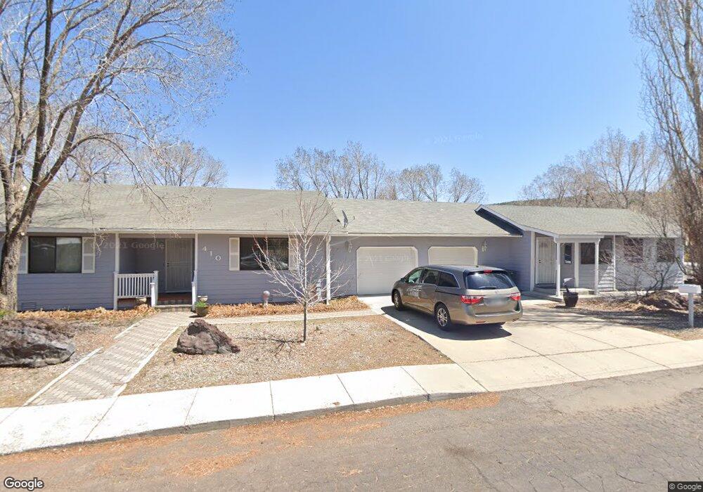
410 N 5th St Williams, AZ 86046
Estimated Value: $548,000 - $705,000
3
Beds
2
Baths
68
Sq Ft
$9,262/Sq Ft
Est. Value
About This Home
This home is located at 410 N 5th St, Williams, AZ 86046 and is currently estimated at $629,807, approximately $9,261 per square foot. 410 N 5th St is a home located in Coconino County with nearby schools including Williams Elementary/Middle School, Williams High School, and Heritage Elementary - Williams.
Ownership History
Date
Name
Owned For
Owner Type
Purchase Details
Closed on
Aug 15, 2003
Sold by
Duffy Joseph Ross and Duffy Lynda Irene
Bought by
Gutshall Larry W and Gutchall Carol L
Current Estimated Value
Home Financials for this Owner
Home Financials are based on the most recent Mortgage that was taken out on this home.
Original Mortgage
$149,000
Outstanding Balance
$67,710
Interest Rate
6.06%
Mortgage Type
New Conventional
Estimated Equity
$562,097
Create a Home Valuation Report for This Property
The Home Valuation Report is an in-depth analysis detailing your home's value as well as a comparison with similar homes in the area
Home Values in the Area
Average Home Value in this Area
Purchase History
| Date | Buyer | Sale Price | Title Company |
|---|---|---|---|
| Gutshall Larry W | $169,000 | First American Title Ins Co |
Source: Public Records
Mortgage History
| Date | Status | Borrower | Loan Amount |
|---|---|---|---|
| Open | Gutshall Larry W | $149,000 |
Source: Public Records
Tax History Compared to Growth
Tax History
| Year | Tax Paid | Tax Assessment Tax Assessment Total Assessment is a certain percentage of the fair market value that is determined by local assessors to be the total taxable value of land and additions on the property. | Land | Improvement |
|---|---|---|---|---|
| 2025 | $2,025 | $49,485 | -- | -- |
| 2024 | $2,025 | $49,684 | -- | -- |
| 2023 | $1,847 | $38,115 | $0 | $0 |
| 2022 | $1,847 | $31,567 | $0 | $0 |
| 2021 | $1,798 | $30,898 | $0 | $0 |
| 2020 | $1,758 | $29,677 | $0 | $0 |
| 2019 | $1,705 | $28,348 | $0 | $0 |
| 2018 | $1,637 | $25,681 | $0 | $0 |
| 2017 | $1,616 | $23,611 | $0 | $0 |
| 2016 | $1,521 | $20,409 | $0 | $0 |
| 2015 | $1,484 | $18,835 | $0 | $0 |
Source: Public Records
Map
Nearby Homes
- 00 W Fulton Ave
- 1028 W Rogers Ave
- 277 Pinecrest Trail Unit 59
- 165 Pinecrest Trail
- 316 N Morse Ave
- 725 N Humbolt St
- 304 S 4th St
- 500 Grand Canyon Ave
- 106 W Sherman Ave
- 701 N Airport Rd
- 344 E Route 66
- 407 S 7th St
- 411 S 6th St
- 201 S Slagel St
- 410 N Locust St Unit 18
- 215 W Hancock Ave
- 412 S 1st St
- 500 W Meade Ave
- 1011 W Sheridan Ave
- 1021 W Sheridan Ave