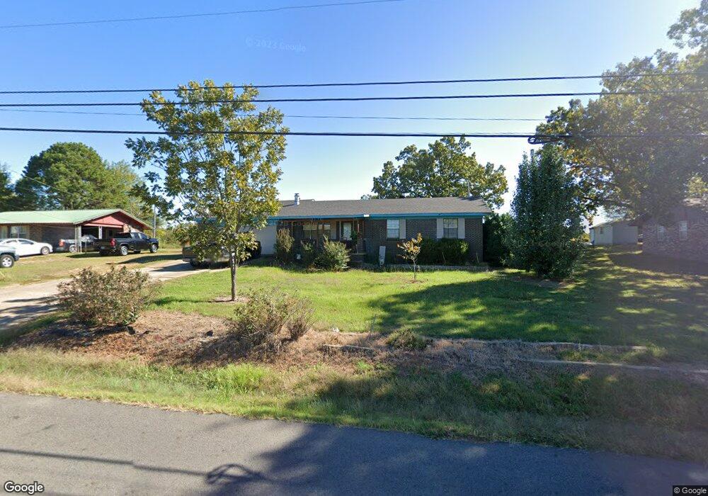
410 N Ray Rd Clarksville, AR 72830
Estimated Value: $177,885 - $215,000
--
Bed
2
Baths
1,716
Sq Ft
$114/Sq Ft
Est. Value
About This Home
This home is located at 410 N Ray Rd, Clarksville, AR 72830 and is currently estimated at $195,721, approximately $114 per square foot. 410 N Ray Rd is a home located in Johnson County with nearby schools including Clarksville Primary School, Clarksville Elementary School, and Clarksville Middle School.
Ownership History
Date
Name
Owned For
Owner Type
Purchase Details
Closed on
Jul 3, 2003
Bought by
Jimenez
Current Estimated Value
Purchase Details
Closed on
Jun 3, 2003
Bought by
Marshall
Create a Home Valuation Report for This Property
The Home Valuation Report is an in-depth analysis detailing your home's value as well as a comparison with similar homes in the area
Home Values in the Area
Average Home Value in this Area
Purchase History
| Date | Buyer | Sale Price | Title Company |
|---|---|---|---|
| Jimenez | $68,900 | -- | |
| Marshall | -- | -- |
Source: Public Records
Tax History Compared to Growth
Tax History
| Year | Tax Paid | Tax Assessment Tax Assessment Total Assessment is a certain percentage of the fair market value that is determined by local assessors to be the total taxable value of land and additions on the property. | Land | Improvement |
|---|---|---|---|---|
| 2024 | $787 | $24,840 | $620 | $24,220 |
| 2023 | $862 | $24,840 | $620 | $24,220 |
| 2022 | $912 | $24,840 | $620 | $24,220 |
| 2021 | $911 | $24,840 | $620 | $24,220 |
| 2020 | $853 | $24,840 | $620 | $24,220 |
| 2019 | $794 | $22,570 | $620 | $21,950 |
| 2018 | $819 | $22,570 | $620 | $21,950 |
| 2017 | $1,169 | $22,570 | $620 | $21,950 |
| 2015 | $711 | $22,570 | $620 | $21,950 |
| 2014 | $982 | $21,340 | $800 | $20,540 |
| 2013 | $982 | $21,340 | $800 | $20,540 |
Source: Public Records
Map
Nearby Homes
- 800 Ray Rd
- 8 Mockingbird Ln
- 33 Mockingbird Ln
- 102 Buffalo St
- 10 Killane St
- 715 N Montgomery St
- 108 Sioux St
- 725 N Montgomery St
- 1711 W Cline St
- 205 Misty Ln
- 111 Sioux St
- 1807 Ford Dr
- 504 N Montgomery St
- Lot A U S Highway 64
- 1107 Reynolds St
- 306 Hayes St
- 312 N Montgomery St
- 116 Stegall Rd
- 1220 W Sevier St
- 3 Redwood Dr