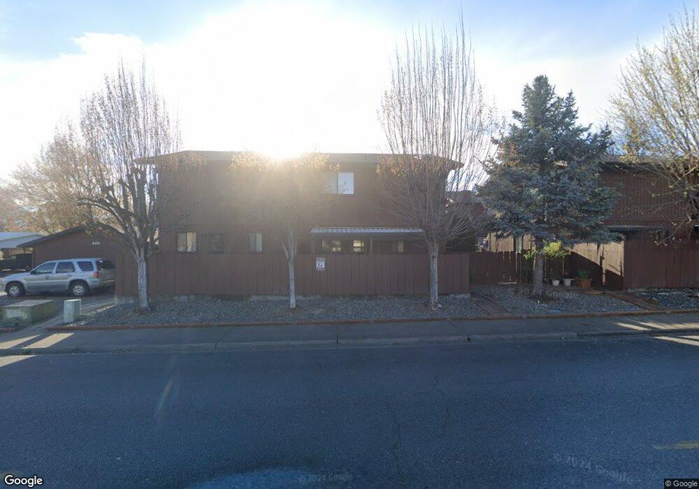
410 NE Anderson St Grants Pass, OR 97526
Estimated Value: $231,000
2
Beds
2
Baths
1,184
Sq Ft
$195/Sq Ft
Est. Value
About This Home
This home is located at 410 NE Anderson St, Grants Pass, OR 97526 and is currently estimated at $231,000, approximately $195 per square foot. 410 NE Anderson St is a home located in Josephine County with nearby schools including Lincoln Elementary School, North Middle School, and Grants Pass High School.
Ownership History
Date
Name
Owned For
Owner Type
Purchase Details
Closed on
Sep 9, 2024
Sold by
Gary W Culwell And Sandra L Hart Trust and Culwell Gary W
Bought by
Newell Jesse Jay
Current Estimated Value
Home Financials for this Owner
Home Financials are based on the most recent Mortgage that was taken out on this home.
Original Mortgage
$194,000
Outstanding Balance
$191,745
Interest Rate
6.73%
Mortgage Type
New Conventional
Estimated Equity
$39,255
Purchase Details
Closed on
Dec 19, 2017
Sold by
Ayers Jayne C
Bought by
Gary W Culwell And Sandra L Hart Trust and Culwell
Create a Home Valuation Report for This Property
The Home Valuation Report is an in-depth analysis detailing your home's value as well as a comparison with similar homes in the area
Home Values in the Area
Average Home Value in this Area
Purchase History
| Date | Buyer | Sale Price | Title Company |
|---|---|---|---|
| Newell Jesse Jay | $229,000 | First American Title | |
| Gary W Culwell And Sandra L Hart Trust | $160,000 | First American Title |
Source: Public Records
Mortgage History
| Date | Status | Borrower | Loan Amount |
|---|---|---|---|
| Open | Newell Jesse Jay | $194,000 |
Source: Public Records
Tax History Compared to Growth
Tax History
| Year | Tax Paid | Tax Assessment Tax Assessment Total Assessment is a certain percentage of the fair market value that is determined by local assessors to be the total taxable value of land and additions on the property. | Land | Improvement |
|---|---|---|---|---|
| 2025 | $1,672 | $128,780 | -- | -- |
| 2024 | $1,672 | $125,030 | -- | -- |
| 2023 | $1,624 | $121,390 | $0 | $0 |
| 2022 | $1,260 | $93,800 | -- | -- |
| 2021 | $1,183 | $91,070 | $0 | $0 |
| 2020 | $1,444 | $111,100 | $0 | $0 |
| 2019 | $1,402 | $107,870 | $0 | $0 |
| 2018 | $1,427 | $104,730 | $0 | $0 |
| 2017 | $1,416 | $101,680 | $0 | $0 |
| 2016 | $1,245 | $98,720 | $0 | $0 |
Source: Public Records
Map
Nearby Homes
- 425 NE Silverwood Place
- 431 NE Silverwood Place
- 419 NE Silverwood Place
- 418 NE 11th St
- 811 NE Clyde Place
- 811 NE Clyde Place Unit 116 C
- 715 NE A St
- 702 NE A St
- 1405 NE Laura Ct
- 918 NE 10th St
- 909 NE 11th St
- 946 NE 12th St
- 409 NE Royal Dr
- 1117 NE Memorial Dr
- 728 NW 6th St
- 807 NW 5th St
- 415 SE J St
- 409 SE J St
- 1051 NE Pepperwood Dr
- 1752 NE Foothill Blvd
- 410 NE Anderson St Unit 7
- 410 NE Anderson St
- 410 NE Anderson St Unit B
- 410 NE Anderson St Unit D
- 410 NE Anderson St Unit C
- 410 NE Anderson St Unit A
- 412 NE Anderson St Unit B
- 412 NE Anderson St
- 412 NE Anderson St
- 412 NE Anderson St
- 412 NE Anderson St
- 408 NE Anderson St
- 855 NE Victoria St
- 854 NE D St
- 500 NE Anderson St
- 845 NE Victoria St
- 825 NE A St
- 510 NE Anderson St
- 832 NE D St Unit 28
- 832 NE D St Unit 13