Estimated Value: $354,000 - $455,000
--
Bed
--
Bath
1,424
Sq Ft
$283/Sq Ft
Est. Value
About This Home
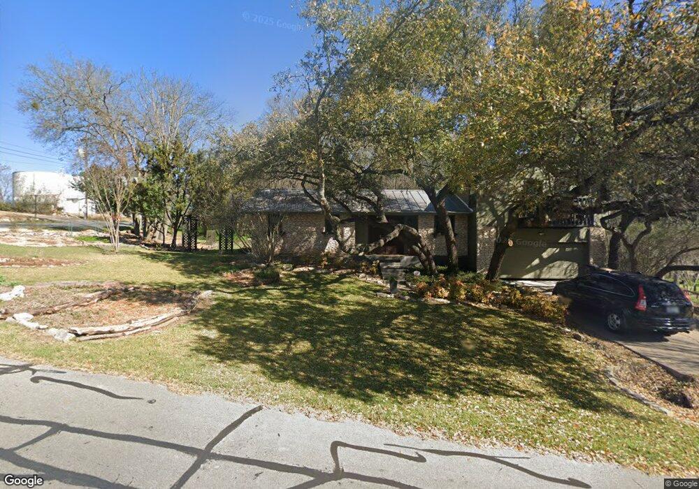
This home is located at 410 Ranger Dr, Buda, TX 78610 and is currently estimated at $402,993, approximately $283 per square foot. 410 Ranger Dr is a home located in Hays County with nearby schools including Carpenter Hill Elementary School, Eric Dahlstrom Middle School, and Moe and Gene Johnson High School.
Ownership History
Date
Name
Owned For
Owner Type
Purchase Details
Closed on
Nov 23, 2020
Sold by
Harsh John Henry
Bought by
Harsh John H and Harsh Mary R
Current Estimated Value
Purchase Details
Closed on
Dec 19, 2003
Sold by
Harsh John H
Bought by
Harsh John H and Harsh Mary R
Home Financials for this Owner
Home Financials are based on the most recent Mortgage that was taken out on this home.
Original Mortgage
$104,000
Interest Rate
5.86%
Mortgage Type
Stand Alone Refi Refinance Of Original Loan
Create a Home Valuation Report for This Property
The Home Valuation Report is an in-depth analysis detailing your home's value as well as a comparison with similar homes in the area
Home Values in the Area
Average Home Value in this Area
Purchase History
| Date | Buyer | Sale Price | Title Company |
|---|---|---|---|
| Harsh John H | -- | None Available | |
| Harsh John H | -- | First American Title |
Source: Public Records
Mortgage History
| Date | Status | Borrower | Loan Amount |
|---|---|---|---|
| Closed | Harsh John H | $104,000 |
Source: Public Records
Tax History Compared to Growth
Tax History
| Year | Tax Paid | Tax Assessment Tax Assessment Total Assessment is a certain percentage of the fair market value that is determined by local assessors to be the total taxable value of land and additions on the property. | Land | Improvement |
|---|---|---|---|---|
| 2025 | $6,582 | $354,645 | $104,210 | $250,435 |
| 2024 | $6,582 | $437,551 | $125,930 | $324,630 |
| 2023 | $6,804 | $397,774 | $125,930 | $286,684 |
| 2022 | $6,901 | $361,613 | $106,720 | $283,065 |
| 2021 | $6,922 | $328,739 | $153,600 | $206,090 |
| 2020 | $4,429 | $228,310 | $51,200 | $177,110 |
| 2019 | $4,766 | $214,085 | $28,800 | $195,540 |
| 2018 | $4,347 | $194,623 | $25,050 | $182,970 |
| 2017 | $3,980 | $176,930 | $25,050 | $151,880 |
| 2016 | $4,600 | $204,468 | $25,050 | $185,310 |
| 2015 | $3,600 | $185,880 | $18,750 | $167,130 |
Source: Public Records
Map
Nearby Homes
- 16209 Oxbow Trail
- 12607 Shady Acres Dr
- 305 Canyon Wren Dr
- 106 Kildeer Dr
- 602 Leisurewoods Dr
- 12711 Dove Dr
- 202 Canyon Wren Dr
- 201 Dewberry Cove
- 605 Canyon Wren Dr
- 12635 Live Oak Ln
- 12623 Red Bud Trail
- 550 Fm 967
- 604 Oakwood Dr
- 133 Camden Cove
- 109 Camden Cove
- 200 Canyon Wren Dr
- 1057 Talley Loop
- 300 Wincliff Dr
- 316 Wincliff Dr
- 140 Brockston Dr
- 409 Ranger Dr
- 415 Ranger Dr
- 407 Ranger Dr
- 413 Ranger Dr
- 12714 Eagle Nest Dr
- 406 Ranger Dr
- 12712 Taylor Dr
- 12710 Eagle Nest Dr
- 12710 Taylor Dr
- 12709 Eagle Nest Dr
- 405 Ranger Dr
- 12708 Eagle Nest Dr
- 12715 Taylor Dr
- 12708 Taylor Dr
- 12707 Eagle Nest Dr
- 12713 Taylor Dr
- 403 Ranger Dr
- 316 Caracara Dr
- 12709 Taylor Dr
- 12711 Taylor Dr