410 Redruth Dr Las Vegas, NV 89178
Estimated Value: $498,000 - $533,000
4
Beds
3
Baths
2,532
Sq Ft
$202/Sq Ft
Est. Value
About This Home
This home is located at 410 Redruth Dr, Las Vegas, NV 89178 and is currently estimated at $511,676, approximately $202 per square foot. 410 Redruth Dr is a home located in Clark County with nearby schools including Robert L. Forbuss Elementary School, Wilbur & Theresa Faiss Middle School, and Sierra Vista High School.
Ownership History
Date
Name
Owned For
Owner Type
Purchase Details
Closed on
Sep 16, 2009
Sold by
Gutierrez Rolando C and Gutierrez Angeles B
Bought by
Gutierrez Rolando C and Gutierrez Angeles B
Current Estimated Value
Purchase Details
Closed on
Jun 5, 2007
Sold by
Kb Home Nevada Inc
Bought by
Gutierrez Rolando C and Gutierrez Angeles B
Home Financials for this Owner
Home Financials are based on the most recent Mortgage that was taken out on this home.
Original Mortgage
$234,671
Interest Rate
6.14%
Mortgage Type
Unknown
Create a Home Valuation Report for This Property
The Home Valuation Report is an in-depth analysis detailing your home's value as well as a comparison with similar homes in the area
Home Values in the Area
Average Home Value in this Area
Purchase History
| Date | Buyer | Sale Price | Title Company |
|---|---|---|---|
| Gutierrez Rolando C | -- | None Available | |
| Gutierrez Rolando C | $359,671 | First Amer Title Co Of Nv |
Source: Public Records
Mortgage History
| Date | Status | Borrower | Loan Amount |
|---|---|---|---|
| Closed | Gutierrez Rolando C | $234,671 |
Source: Public Records
Tax History Compared to Growth
Tax History
| Year | Tax Paid | Tax Assessment Tax Assessment Total Assessment is a certain percentage of the fair market value that is determined by local assessors to be the total taxable value of land and additions on the property. | Land | Improvement |
|---|---|---|---|---|
| 2025 | $2,628 | $145,295 | $38,500 | $106,795 |
| 2024 | $2,434 | $145,295 | $38,500 | $106,795 |
| 2023 | $2,434 | $137,310 | $36,750 | $100,560 |
| 2022 | $2,254 | $121,264 | $29,750 | $91,514 |
| 2021 | $2,087 | $114,919 | $28,000 | $86,919 |
| 2020 | $1,935 | $112,654 | $26,600 | $86,054 |
| 2019 | $1,814 | $107,457 | $23,100 | $84,357 |
| 2018 | $1,730 | $99,882 | $19,250 | $80,632 |
| 2017 | $2,649 | $90,322 | $18,550 | $71,772 |
| 2016 | $1,620 | $81,045 | $13,300 | $67,745 |
| 2015 | $1,617 | $67,841 | $10,850 | $56,991 |
| 2014 | $1,569 | $51,918 | $7,000 | $44,918 |
Source: Public Records
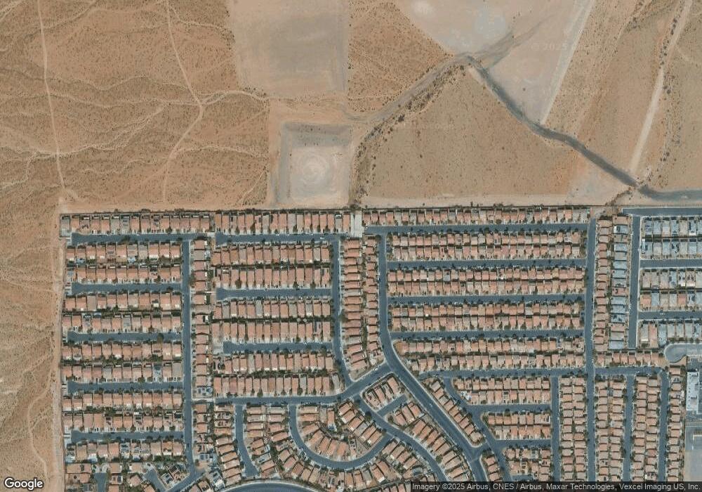
Map
Nearby Homes
- 445 Royal Bridge Dr
- 661 Newquay Ct
- 573 Shewsbury Ave
- 722 Chepstow Ave
- 719 Quayside Ct
- 492 Merseyside Dr
- 705 Shirehampton Dr
- 552 Brompton St
- 452 Swiss Cottage Ave
- 523 Cabis Bay St
- 791 Trumpington Ct
- 582 Brompton St
- 533 Warminster Ave
- 654 Loughton St
- 741 Canary Wharf Dr
- 736 Saint Keyne St
- 728 Jewel Tower St
- 389 Fringe Ruff Dr
- 671 Port Talbot Ave
- 772 Loughton St
- 416 Redruth Dr
- 422 Redruth Dr
- 409 Royal Bridge Dr
- 415 Royal Bridge Dr
- 644 Chepstow Ave
- 421 Royal Bridge Dr
- 428 Redruth Dr
- 650 Chepstow Ave
- 659 Chepstow Ave
- 427 Royal Bridge Dr
- 656 Chepstow Ave
- 632 Beckton Park Ave
- 434 Redruth Dr
- 628 Beckton Park Ave Unit B
- 667 Chepstow Ave
- 662 Chepstow Ave
- 624 Beckton Park Ave
- 658 Newquay Ct
- 442 Redruth Dr
- 668 Chepstow Ave