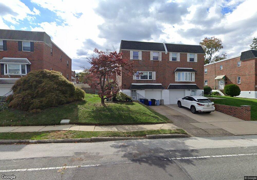
410 Rennard St Philadelphia, PA 19116
Somerton NeighborhoodEstimated Value: $343,000 - $424,000
4
Beds
1
Bath
1,716
Sq Ft
$224/Sq Ft
Est. Value
About This Home
This home is located at 410 Rennard St, Philadelphia, PA 19116 and is currently estimated at $384,860, approximately $224 per square foot. 410 Rennard St is a home with nearby schools including Loesche William H School, CCA Baldi Middle School, and George Washington High School.
Ownership History
Date
Name
Owned For
Owner Type
Purchase Details
Closed on
Dec 27, 2024
Sold by
Goren Janice and Gilbert Linda
Bought by
Ostapchuk Oleksandr
Current Estimated Value
Home Financials for this Owner
Home Financials are based on the most recent Mortgage that was taken out on this home.
Original Mortgage
$354,050
Outstanding Balance
$351,490
Interest Rate
6.6%
Mortgage Type
New Conventional
Estimated Equity
$33,370
Purchase Details
Closed on
Dec 7, 1970
Bought by
Lee Lee W and Lee Janice L
Create a Home Valuation Report for This Property
The Home Valuation Report is an in-depth analysis detailing your home's value as well as a comparison with similar homes in the area
Home Values in the Area
Average Home Value in this Area
Purchase History
| Date | Buyer | Sale Price | Title Company |
|---|---|---|---|
| Ostapchuk Oleksandr | $365,000 | None Listed On Document | |
| Lee Lee W | $28,500 | -- |
Source: Public Records
Mortgage History
| Date | Status | Borrower | Loan Amount |
|---|---|---|---|
| Open | Ostapchuk Oleksandr | $354,050 |
Source: Public Records
Tax History Compared to Growth
Tax History
| Year | Tax Paid | Tax Assessment Tax Assessment Total Assessment is a certain percentage of the fair market value that is determined by local assessors to be the total taxable value of land and additions on the property. | Land | Improvement |
|---|---|---|---|---|
| 2025 | $4,146 | $371,500 | $74,300 | $297,200 |
| 2024 | $4,146 | $371,500 | $74,300 | $297,200 |
| 2023 | $4,146 | $296,200 | $59,240 | $236,960 |
| 2022 | $3,516 | $251,200 | $59,240 | $191,960 |
| 2021 | $3,376 | $0 | $0 | $0 |
| 2020 | $3,376 | $0 | $0 | $0 |
| 2019 | $3,179 | $0 | $0 | $0 |
| 2018 | $3,035 | $0 | $0 | $0 |
| 2017 | $3,035 | $0 | $0 | $0 |
| 2016 | $21,184 | $0 | $0 | $0 |
| 2015 | $21,184 | $0 | $0 | $0 |
| 2014 | -- | $216,800 | $89,680 | $127,120 |
| 2012 | -- | $28,384 | $3,517 | $24,867 |
Source: Public Records
Map
Nearby Homes
- 11243 Jeanes Place
- 11715 Jeanes St
- 11722 Audubon Ave
- 166 Rennard St
- 11022 Ferndale St
- 509 Larkspur St
- 11114 Ridgeway St
- 11012 Audubon Ave
- 11992 Lockart Rd
- 11169 Hendrix St
- 133 Gardner St
- 358 Tomlinson Terrace
- 11990 Rennard St
- 375 Avon St
- 10922 Lockart Rd
- 412 Avon Place
- 10665 Halstead St
- 300 Byberry Rd Unit 303
- 290 Byberry Rd Unit 18
- 290 Byberry Rd Unit 2
- 408 Rennard St
- 412 Rennard St
- 414 Rennard St
- 406 Rennard St
- 411 Larkspur St
- 413 Larkspur St
- 416 Rennard St
- 409 Larkspur St
- 407 Larkspur St
- 415 Larkspur St
- 417 Larkspur St
- 418 Rennard St
- 11307 Audubon Ave
- 11309 Audubon Ave
- 11305 Audubon Ave
- 419 Larkspur St
- 420 Rennard St
- 11303 Audubon Ave
- 411 Rennard St
- 413 Rennard St