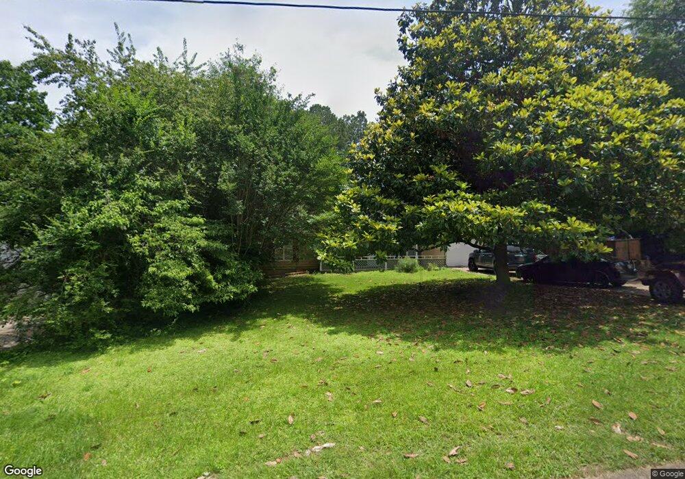
410 River Point Dr Woodstock, GA 30188
Estimated Value: $307,000 - $326,568
3
Beds
2
Baths
1,360
Sq Ft
$233/Sq Ft
Est. Value
About This Home
This home is located at 410 River Point Dr, Woodstock, GA 30188 and is currently estimated at $316,784, approximately $232 per square foot. 410 River Point Dr is a home located in Cherokee County with nearby schools including Little River Elementary, Mill Creek Middle School, and River Ridge High School.
Ownership History
Date
Name
Owned For
Owner Type
Purchase Details
Closed on
Aug 20, 2007
Sold by
American General Finl Svcs In
Bought by
Molina Mark and Molina Daisy
Current Estimated Value
Purchase Details
Closed on
Jul 3, 2007
Sold by
Furr Sam G
Bought by
American General Finl Svcs In
Purchase Details
Closed on
Apr 26, 1996
Sold by
Nead Bart D Donna J
Bought by
Furr Sam G
Create a Home Valuation Report for This Property
The Home Valuation Report is an in-depth analysis detailing your home's value as well as a comparison with similar homes in the area
Home Values in the Area
Average Home Value in this Area
Purchase History
| Date | Buyer | Sale Price | Title Company |
|---|---|---|---|
| Molina Mark | $124,000 | -- | |
| American General Finl Svcs In | $121,677 | -- | |
| Furr Sam G | $82,600 | -- |
Source: Public Records
Mortgage History
| Date | Status | Borrower | Loan Amount |
|---|---|---|---|
| Closed | Furr Sam G | $0 |
Source: Public Records
Tax History Compared to Growth
Tax History
| Year | Tax Paid | Tax Assessment Tax Assessment Total Assessment is a certain percentage of the fair market value that is determined by local assessors to be the total taxable value of land and additions on the property. | Land | Improvement |
|---|---|---|---|---|
| 2025 | $2,847 | $108,400 | $28,400 | $80,000 |
| 2024 | $2,995 | $115,256 | $28,400 | $86,856 |
| 2023 | $3,016 | $114,736 | $26,400 | $88,336 |
| 2022 | $2,536 | $96,496 | $23,200 | $73,296 |
| 2021 | $2,304 | $81,176 | $18,000 | $63,176 |
| 2020 | $2,071 | $72,872 | $14,400 | $58,472 |
| 2019 | $1,803 | $63,440 | $14,400 | $49,040 |
| 2018 | $1,609 | $56,280 | $12,800 | $43,480 |
| 2017 | $1,612 | $139,900 | $12,800 | $43,160 |
| 2016 | $1,512 | $129,800 | $11,600 | $40,320 |
| 2015 | $1,425 | $121,200 | $10,480 | $38,000 |
| 2014 | $1,310 | $111,200 | $10,480 | $34,000 |
Source: Public Records
Map
Nearby Homes
- 321 Knollwood Ln
- 504 E Lake Ct
- 1486 Willow Bend
- 103 Branch Dr
- 5305 Shotwell Ct Unit III
- Magnolia Plan at Magnolia Reserve
- Chatham Plan at Magnolia Reserve
- Turnberry Plan at Magnolia Reserve
- Heritage Plan at Magnolia Reserve
- 119 Chateau Place
- 166 Churchcliff Dr
- 1070 Daventry Crossing
- 120 Fernwood Dr
- 212 Fernwood Place
- 319 Dexter Dr
- 106 Pioneer Dr
- 403 Heron Landing
- 424 Loblolly St
- LOT 3 Cox Rd
- 408 River Point Dr
- 0 River Point Dr Unit 3179356
- 0 River Point Dr Unit 7538661
- 113 Riverchase Dr
- 115 Riverchase Dr
- 411 River Point Dr
- 111 Riverchase Dr Unit 1
- 406 River Point Dr Unit 1
- 414 River Point Dr
- 117 Riverchase Dr
- 409 River Point Dr
- 413 River Point Dr
- 407 River Point Dr Unit 1
- 119 Riverchase Dr
- 109 Riverchase Dr Unit 1
- 416 River Point Dr Unit 1
- 404 River Point Dr
- 121 Riverchase Dr Unit 1
- 415 River Point Dr
- 116 Riverchase Dr
