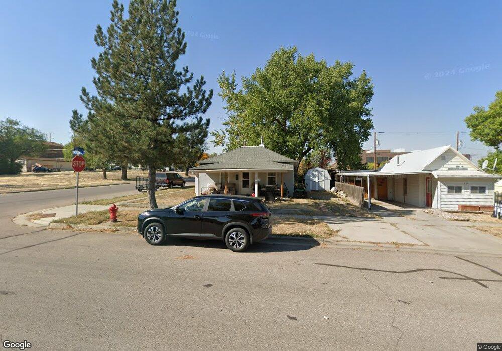
410 S Emerson Ave Gillette, WY 82716
Estimated Value: $148,000 - $207,000
2
Beds
1
Bath
864
Sq Ft
$204/Sq Ft
Est. Value
About This Home
This home is located at 410 S Emerson Ave, Gillette, WY 82716 and is currently estimated at $175,956, approximately $203 per square foot. 410 S Emerson Ave is a home located in Campbell County with nearby schools including Westwood High School, Meadowlark Elementary School, and Twin Spruce Junior High School.
Ownership History
Date
Name
Owned For
Owner Type
Purchase Details
Closed on
May 23, 2005
Sold by
Skinner Thomas L and Skinner Jennifer C
Bought by
Townsend Richard K and Townsend Sandra J
Current Estimated Value
Home Financials for this Owner
Home Financials are based on the most recent Mortgage that was taken out on this home.
Original Mortgage
$20,540
Outstanding Balance
$10,703
Interest Rate
5.83%
Mortgage Type
Stand Alone Second
Estimated Equity
$165,253
Create a Home Valuation Report for This Property
The Home Valuation Report is an in-depth analysis detailing your home's value as well as a comparison with similar homes in the area
Home Values in the Area
Average Home Value in this Area
Purchase History
| Date | Buyer | Sale Price | Title Company |
|---|---|---|---|
| Townsend Richard K | -- | None Available |
Source: Public Records
Mortgage History
| Date | Status | Borrower | Loan Amount |
|---|---|---|---|
| Open | Townsend Richard K | $20,540 | |
| Open | Townsend Richard K | $82,160 |
Source: Public Records
Tax History Compared to Growth
Tax History
| Year | Tax Paid | Tax Assessment Tax Assessment Total Assessment is a certain percentage of the fair market value that is determined by local assessors to be the total taxable value of land and additions on the property. | Land | Improvement |
|---|---|---|---|---|
| 2025 | $794 | $6,095 | $1,817 | $4,278 |
| 2024 | $794 | $11,297 | $3,658 | $7,639 |
| 2023 | $774 | $11,003 | $3,658 | $7,345 |
| 2022 | $694 | $9,838 | $3,183 | $6,655 |
| 2021 | $640 | $9,380 | $3,183 | $6,197 |
| 2020 | $630 | $9,252 | $3,183 | $6,069 |
| 2019 | $612 | $9,017 | $3,183 | $5,834 |
| 2018 | $568 | $8,399 | $3,183 | $5,216 |
| 2017 | $596 | $8,838 | $2,826 | $6,012 |
| 2016 | $601 | $8,890 | $2,826 | $6,064 |
| 2015 | -- | $8,517 | $2,826 | $5,691 |
| 2014 | -- | $8,136 | $2,826 | $5,310 |
Source: Public Records
Map
Nearby Homes
- 409 S Emerson Ave
- 304 S Emerson Ave
- 700 S Brooks Ave
- 609 S Miller Ave
- 808 S Gillette Ave
- 907 E 4th St
- 309 Rockpile Blvd
- 207 N Bundy Ave
- 816 E 9th St
- 425 Circle Dr
- 100 W Hogeye Dr
- 819 E 12th St
- 905 S Gurley Ave
- 1005 Santee Dr
- 1028 E 9th St
- 713 W 9th St
- 913 A&B E 12th St
- 204 W Juniper Ln
- 0000 Tract A6 Broad Axe Rd
- 1801 S Gillette Ave
- 408 S Emerson Ave
- 406 S Emerson Ave
- 500 S Emerson Ave
- 404 S Emerson Ave
- 402 S Emerson Ave
- 411 S Emerson Ave
- 503 Carey Ave Unit 5
- 407 S Emerson Ave
- 501 S Emerson Ave
- 400 S Emerson Ave
- 505 Carey Ave
- 405 S Emerson Ave
- 503 S Emerson Ave
- 403 S Emerson Ave
- 505 S Emerson Ave
- 401 S Emerson Ave
- 507 S Emerson Ave
- 206 E 5th St
- 509 S Emerson Ave
- 408 S Osborne Ave