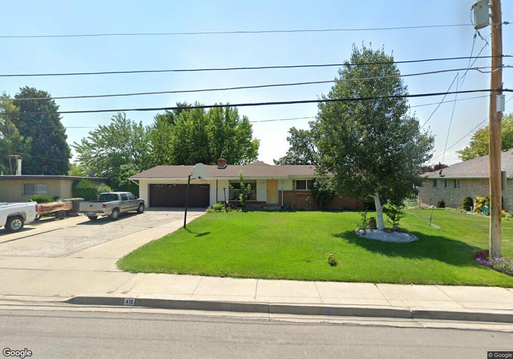
410 S Locust Ave Pleasant Grove, UT 84062
Estimated Value: $392,000
3
Beds
2
Baths
1,656
Sq Ft
$237/Sq Ft
Est. Value
About This Home
This home is located at 410 S Locust Ave, Pleasant Grove, UT 84062 and is currently priced at $392,000, approximately $236 per square foot. 410 S Locust Ave is a home located in Utah County with nearby schools including Central Elementary School, Pleasant Grove Junior High School, and Pleasant Grove High School.
Ownership History
Date
Name
Owned For
Owner Type
Purchase Details
Closed on
Apr 22, 2020
Sold by
Gover Nathan R
Bought by
Gover Nathan R
Current Estimated Value
Home Financials for this Owner
Home Financials are based on the most recent Mortgage that was taken out on this home.
Original Mortgage
$268,000
Outstanding Balance
$236,965
Interest Rate
3.3%
Mortgage Type
New Conventional
Purchase Details
Closed on
Sep 15, 2016
Sold by
Sampson Dale W and Sampson Cynthia D
Bought by
Gover Nathan R
Home Financials for this Owner
Home Financials are based on the most recent Mortgage that was taken out on this home.
Original Mortgage
$261,250
Interest Rate
3.43%
Mortgage Type
New Conventional
Create a Home Valuation Report for This Property
The Home Valuation Report is an in-depth analysis detailing your home's value as well as a comparison with similar homes in the area
Home Values in the Area
Average Home Value in this Area
Purchase History
| Date | Buyer | Sale Price | Title Company |
|---|---|---|---|
| Gover Nathan R | -- | Vanguard Title Ins Agcy Llc | |
| Gover Nathan R | -- | Keystone Title Ins Agency |
Source: Public Records
Mortgage History
| Date | Status | Borrower | Loan Amount |
|---|---|---|---|
| Open | Gover Nathan R | $268,000 | |
| Closed | Gover Nathan R | $261,250 |
Source: Public Records
Tax History Compared to Growth
Tax History
| Year | Tax Paid | Tax Assessment Tax Assessment Total Assessment is a certain percentage of the fair market value that is determined by local assessors to be the total taxable value of land and additions on the property. | Land | Improvement |
|---|---|---|---|---|
| 2020 | $1,837 | $333,300 | $162,300 | $171,000 |
| 2019 | $1,657 | $311,000 | $149,200 | $161,800 |
| 2018 | $1,642 | $291,400 | $136,000 | $155,400 |
| 2017 | $1,504 | $142,120 | $0 | $0 |
| 2016 | $1,459 | $133,100 | $0 | $0 |
| 2015 | $1,420 | $122,650 | $0 | $0 |
| 2014 | $1,417 | $121,220 | $0 | $0 |
Source: Public Records
Map
Nearby Homes