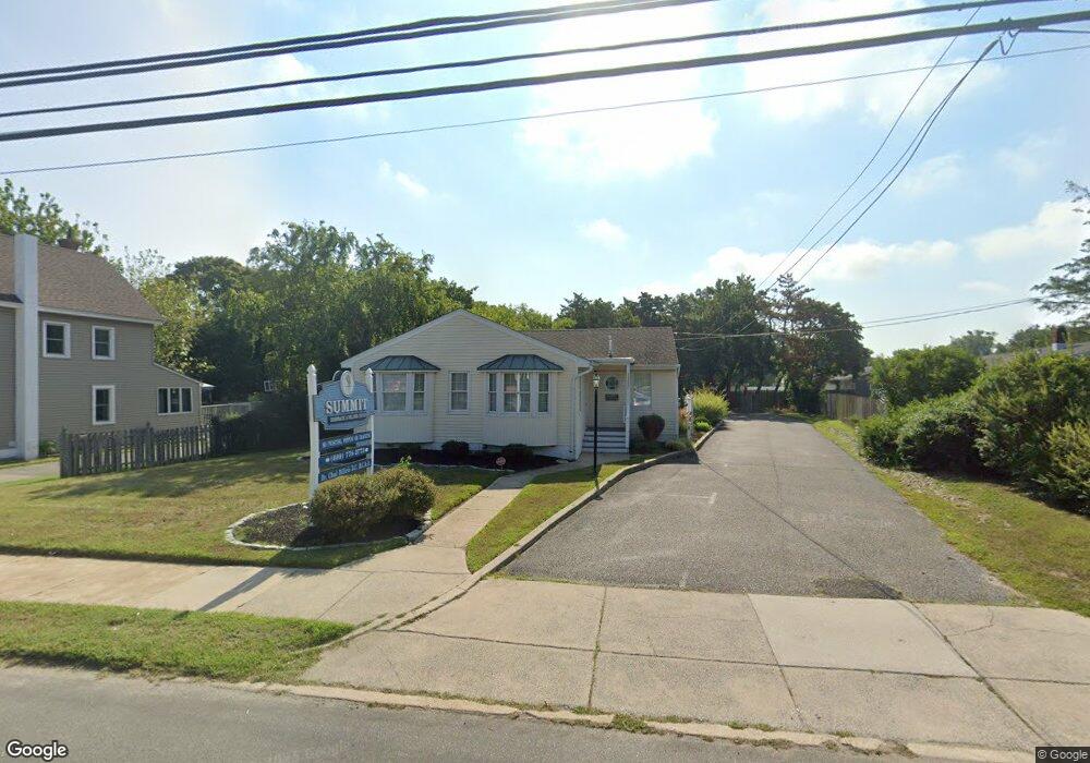
410 S Main St Cape May Court House, NJ 08210
Estimated Value: $437,193
--
Bed
--
Bath
--
Sq Ft
0.29
Acres
About This Home
This home is located at 410 S Main St, Cape May Court House, NJ 08210 and is currently estimated at $437,193. 410 S Main St is a home located in Cape May County with nearby schools including Middle Township Elementary No. 1, Middle Township Elementary No. 2, and Middle Township Middle School.
Ownership History
Date
Name
Owned For
Owner Type
Purchase Details
Closed on
Apr 30, 2013
Sold by
Tenner & Tenner Llc
Bought by
Chase Holdings Cm Limited Liability Comp
Current Estimated Value
Home Financials for this Owner
Home Financials are based on the most recent Mortgage that was taken out on this home.
Original Mortgage
$196,800
Outstanding Balance
$139,266
Interest Rate
3.45%
Mortgage Type
Commercial
Estimated Equity
$295,777
Purchase Details
Closed on
May 1, 1999
Sold by
Diamond Robert
Bought by
Tenner & Tenner Llc
Home Financials for this Owner
Home Financials are based on the most recent Mortgage that was taken out on this home.
Original Mortgage
$176,250
Interest Rate
6.85%
Mortgage Type
Commercial
Create a Home Valuation Report for This Property
The Home Valuation Report is an in-depth analysis detailing your home's value as well as a comparison with similar homes in the area
Home Values in the Area
Average Home Value in this Area
Purchase History
| Date | Buyer | Sale Price | Title Company |
|---|---|---|---|
| Chase Holdings Cm Limited Liability Comp | $246,000 | The Title Company Of Jersey | |
| Tenner & Tenner Llc | $235,000 | -- |
Source: Public Records
Mortgage History
| Date | Status | Borrower | Loan Amount |
|---|---|---|---|
| Open | Chase Holdings Cm Limited Liability Comp | $196,800 | |
| Previous Owner | Tenner & Tenner Llc | $176,250 |
Source: Public Records
Tax History Compared to Growth
Tax History
| Year | Tax Paid | Tax Assessment Tax Assessment Total Assessment is a certain percentage of the fair market value that is determined by local assessors to be the total taxable value of land and additions on the property. | Land | Improvement |
|---|---|---|---|---|
| 2025 | $6,437 | $305,200 | $166,500 | $138,700 |
| 2024 | $6,437 | $305,200 | $166,500 | $138,700 |
| 2023 | $6,275 | $305,200 | $166,500 | $138,700 |
| 2022 | $6,095 | $305,200 | $166,500 | $138,700 |
| 2021 | $5,948 | $305,200 | $166,500 | $138,700 |
| 2020 | $5,826 | $305,200 | $166,500 | $138,700 |
| 2019 | $5,677 | $305,200 | $166,500 | $138,700 |
| 2018 | $5,588 | $305,200 | $166,500 | $138,700 |
| 2017 | $5,475 | $305,200 | $166,500 | $138,700 |
| 2016 | $5,338 | $305,200 | $166,500 | $138,700 |
| 2015 | $5,298 | $305,200 | $166,500 | $138,700 |
| 2014 | $5,265 | $305,200 | $166,500 | $138,700 |
Source: Public Records
Map
Nearby Homes
- 306 3rd St
- 105 E Atlantic Ave
- 211 Colonial Ave
- 5 Locust Ln
- 310 Front St
- 144 Lee Ln Unit Front
- 215 S Boyd St
- 147 Lee Ln Unit 147
- 614 Route 9 S Unit 3
- 614 Route 9 S
- 104 Bay Breeze Blvd Unit 104
- 106 Bay Breeze Blvd Unit 106
- 212 Shunpike Rd
- 207 Bay Breeze Blvd Unit 9
- 308 Bay Breeze Blvd Unit 308
- 33 E Mechanic St
- 709 Route 9 S
- 709 Route 9 S Unit 651
- 220 Hand Ave
- 706 Bennett Rd