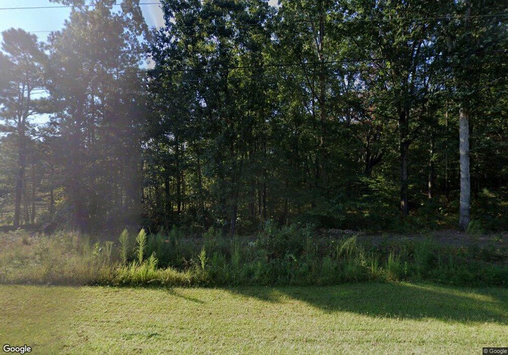
410 Simpson Rd Franklin, GA 30217
Estimated Value: $333,481 - $406,000
3
Beds
2
Baths
1,950
Sq Ft
$186/Sq Ft
Est. Value
About This Home
This home is located at 410 Simpson Rd, Franklin, GA 30217 and is currently estimated at $362,494, approximately $185 per square foot. 410 Simpson Rd is a home located in Heard County with nearby schools including Heard County High School.
Ownership History
Date
Name
Owned For
Owner Type
Purchase Details
Closed on
Oct 14, 2014
Sold by
Mcclain Michael H
Bought by
Mcclain Michael H and Mcclain Alicia F
Current Estimated Value
Home Financials for this Owner
Home Financials are based on the most recent Mortgage that was taken out on this home.
Original Mortgage
$131,000
Outstanding Balance
$101,128
Interest Rate
4.29%
Mortgage Type
New Conventional
Estimated Equity
$261,366
Purchase Details
Closed on
Sep 26, 2008
Sold by
Not Provided
Bought by
Mcclain Michael H and Jones Alicia F
Home Financials for this Owner
Home Financials are based on the most recent Mortgage that was taken out on this home.
Original Mortgage
$100,000
Interest Rate
6.36%
Mortgage Type
New Conventional
Purchase Details
Closed on
Mar 26, 2008
Sold by
Not Provided
Bought by
Mcclain Michael H and Jones Alicia F
Purchase Details
Closed on
Mar 10, 1995
Sold by
Mcclain Hugh
Bought by
Mcclain Eunice Hazel
Purchase Details
Closed on
Nov 15, 1956
Bought by
Mcclain Hugh
Create a Home Valuation Report for This Property
The Home Valuation Report is an in-depth analysis detailing your home's value as well as a comparison with similar homes in the area
Home Values in the Area
Average Home Value in this Area
Purchase History
| Date | Buyer | Sale Price | Title Company |
|---|---|---|---|
| Mcclain Michael H | -- | -- | |
| Mcclain Michael H | -- | -- | |
| Mcclain Michael H | -- | -- | |
| Mcclain Eunice Hazel | -- | -- | |
| Mcclain Hugh | -- | -- |
Source: Public Records
Mortgage History
| Date | Status | Borrower | Loan Amount |
|---|---|---|---|
| Open | Mcclain Michael H | $131,000 | |
| Previous Owner | Mcclain Michael H | $100,000 |
Source: Public Records
Tax History Compared to Growth
Tax History
| Year | Tax Paid | Tax Assessment Tax Assessment Total Assessment is a certain percentage of the fair market value that is determined by local assessors to be the total taxable value of land and additions on the property. | Land | Improvement |
|---|---|---|---|---|
| 2024 | $2,593 | $128,601 | $29,951 | $98,650 |
| 2023 | $2,021 | $114,634 | $24,959 | $89,675 |
| 2022 | $1,918 | $99,883 | $12,600 | $87,283 |
| 2021 | $1,603 | $81,025 | $12,600 | $68,425 |
| 2020 | $1,520 | $76,608 | $12,600 | $64,008 |
| 2019 | $1,519 | $76,608 | $12,600 | $64,008 |
| 2018 | $1,734 | $76,608 | $12,600 | $64,008 |
| 2017 | $1,461 | $70,159 | $9,499 | $60,660 |
| 2016 | $1,460 | $70,159 | $9,499 | $60,660 |
| 2015 | -- | $64,469 | $15,744 | $48,725 |
| 2014 | -- | $64,469 | $15,744 | $48,725 |
| 2013 | -- | $68,503 | $16,071 | $52,432 |
Source: Public Records
Map
Nearby Homes
- 319 + - Acres Hwy 100
- 99.58 +/- AC Peace Ln
- 99.58 + - Ac Peace Ln
- 140+/- Acres Hwy 100
- 119 & 139 Nelson Rd
- 139 Nelson Rd
- 111 Nelson Rd
- 14315 Ga Highway 100
- 14250 Ga Highway 100
- 0 Joe Cook Rd Unit 4 10550489
- 0 Joe Cook Rd Unit 3 10550484
- 0 Roosterville Rd Unit 7567146
- 0 Roosterville Rd Unit TRACT 2 10497280
- 0 Roosterville Rd Unit TRACT 4 10561685
- 0 Roosterville Rd Unit TRACT 3 10497284
- 0 Roosterville Rd Unit TRACT 5 10497287
- 0 Roosterville Rd Unit TRACT 4 10497286
- 0 Young Rd Unit 10579299
- 1600 Happy Hollow Rd
- 12439 U S 27
- 550 Simpson Rd
- 65 Mcclain Dr
- 0 Simpson Rd Unit 24,TRC 4 7227861
- 225 Simpson Rd
- 387 Simpson Rd
- 100 Mcclain Dr
- 8293 Roosterville Rd
- 720 Simpson Rd
- 135 Simpson Rd
- 199 Simpson Rd
- 964 Simpson Rd
- 121 Simpson Rd
- 16430 Ga Highway 100
- 16430 Georgia 100
- 7895 Roosterville Rd
- 7971 Roosterville Rd
- 799 Simpson Rd
- 7998 Roosterville Rd
- 7998 Roosterville Rd
- 7919 Roosterville Rd
