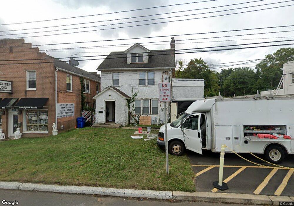
410 State Route 35 Red Bank, NJ 07701
New Monmouth NeighborhoodEstimated Value: $578,297 - $629,000
2
Beds
3
Baths
1,723
Sq Ft
$352/Sq Ft
Est. Value
About This Home
This home is located at 410 State Route 35, Red Bank, NJ 07701 and is currently estimated at $606,824, approximately $352 per square foot. 410 State Route 35 is a home located in Monmouth County with nearby schools including River Plaza Elementary School, Thompson Middle School, and Middletown - South High School.
Ownership History
Date
Name
Owned For
Owner Type
Purchase Details
Closed on
Sep 15, 2020
Sold by
Conte Joseph J and Conte Rosemary
Bought by
410 Highway 35 Llc
Current Estimated Value
Purchase Details
Closed on
Sep 1, 2020
Sold by
Conte Joseph J and Conte Rosemary
Bought by
410 Highway 35 Llc
Purchase Details
Closed on
Nov 15, 2019
Sold by
Conte Joseph J and Estate Of Louis R Conte
Bought by
Conte Joseph J and Conte Rosemary
Purchase Details
Closed on
Jan 2, 1992
Bought by
Conte Conte J and Conte R
Create a Home Valuation Report for This Property
The Home Valuation Report is an in-depth analysis detailing your home's value as well as a comparison with similar homes in the area
Home Values in the Area
Average Home Value in this Area
Purchase History
| Date | Buyer | Sale Price | Title Company |
|---|---|---|---|
| 410 Highway 35 Llc | $370,000 | Chicago Title | |
| 410 Highway 35 Llc | $370,000 | Chicago Title Insurance Co | |
| Conte Joseph J | -- | None Available | |
| Conte Conte J | $100,000 | -- |
Source: Public Records
Tax History Compared to Growth
Tax History
| Year | Tax Paid | Tax Assessment Tax Assessment Total Assessment is a certain percentage of the fair market value that is determined by local assessors to be the total taxable value of land and additions on the property. | Land | Improvement |
|---|---|---|---|---|
| 2025 | $5,563 | $344,300 | $174,000 | $170,300 |
| 2024 | $5,706 | $338,200 | $171,000 | $167,200 |
| 2023 | $5,706 | $328,300 | $165,000 | $163,300 |
| 2022 | $5,221 | $263,500 | $150,000 | $113,500 |
| 2021 | $5,221 | $251,000 | $150,000 | $101,000 |
| 2020 | $5,317 | $248,700 | $150,000 | $98,700 |
| 2019 | $5,331 | $252,400 | $150,000 | $102,400 |
| 2018 | $5,365 | $247,600 | $150,000 | $97,600 |
| 2017 | $5,354 | $244,600 | $150,000 | $94,600 |
| 2016 | $5,325 | $249,900 | $150,000 | $99,900 |
| 2015 | $5,692 | $257,900 | $150,000 | $107,900 |
| 2014 | $5,626 | $248,600 | $150,000 | $98,600 |
Source: Public Records
Map
Nearby Homes
- 9 Wesleyan St
- 139 Statesir Place
- 508 Abby Rd Unit 508
- 31 Southall Ln
- 44 Monroe St
- 46 Southall Ln
- 152 Chapel Hill Rd
- 833 Lincoln St
- 78 Crestview Dr
- 4 Breana Ct
- 37 Delaware Ave
- 238 Martin Place
- 35 Fairview Dr
- 839 Arthur Dr
- 3504 James Ct Unit 159
- 39 Market St
- 19 Statesir Place
- 43 Roosevelt Cir W
- 115 Hill Terrace
- 0 Hamiltonian Dr Unit 22514980
- 406 State Route 35
- 414 State Route 35
- 406 Hwy 35 Unit 2
- 406 Hwy 35
- 10 Harvard St
- 418 State Route 35
- 417 State Route 35
- 12 Harvard St
- 39 Brighton Ave
- 14 Harvard St
- 389 State Route 35
- 391 State Route 35
- 15 Harvard St
- 5 Walnut Ave
- 7 Walnut Ave
- 11 Walnut Ave
- 15 Walnut Ave
- 385 New Jersey 35
- 17 Walnut Ave
- 21 Brighton Ave