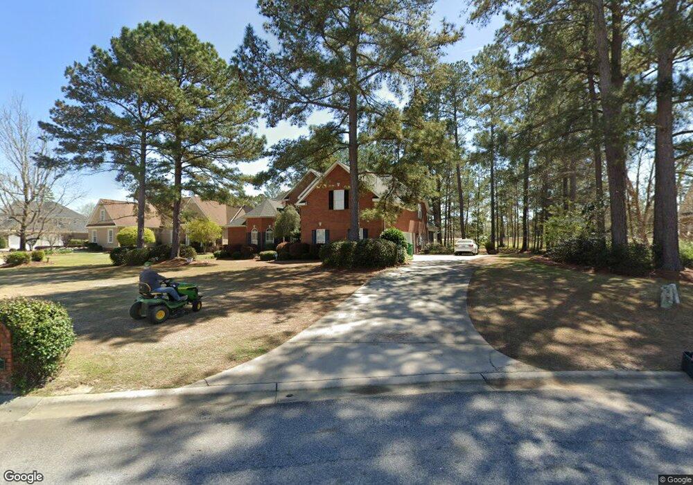
410 Stathams Way Warner Robins, GA 31088
Estimated Value: $460,000 - $530,000
4
Beds
4
Baths
3,464
Sq Ft
$141/Sq Ft
Est. Value
About This Home
This home is located at 410 Stathams Way, Warner Robins, GA 31088 and is currently estimated at $487,631, approximately $140 per square foot. 410 Stathams Way is a home located in Houston County with nearby schools including Bonaire Elementary School, Huntington Middle School, and Warner Robins High School.
Ownership History
Date
Name
Owned For
Owner Type
Purchase Details
Closed on
Apr 19, 2005
Sold by
Hollomon Homes Inc
Bought by
Gordon Arthur R and Gordon Cynthia W
Current Estimated Value
Home Financials for this Owner
Home Financials are based on the most recent Mortgage that was taken out on this home.
Original Mortgage
$170,000
Interest Rate
5.79%
Mortgage Type
New Conventional
Purchase Details
Closed on
Jul 13, 2004
Sold by
Stathams Landing Co
Bought by
Holloman Homes Inc
Create a Home Valuation Report for This Property
The Home Valuation Report is an in-depth analysis detailing your home's value as well as a comparison with similar homes in the area
Home Values in the Area
Average Home Value in this Area
Purchase History
| Date | Buyer | Sale Price | Title Company |
|---|---|---|---|
| Gordon Arthur R | $370,000 | None Available | |
| Holloman Homes Inc | $61,000 | -- |
Source: Public Records
Mortgage History
| Date | Status | Borrower | Loan Amount |
|---|---|---|---|
| Closed | Gordon Arthur R | $170,000 |
Source: Public Records
Tax History Compared to Growth
Tax History
| Year | Tax Paid | Tax Assessment Tax Assessment Total Assessment is a certain percentage of the fair market value that is determined by local assessors to be the total taxable value of land and additions on the property. | Land | Improvement |
|---|---|---|---|---|
| 2024 | $1,620 | $184,720 | $23,200 | $161,520 |
| 2023 | $3,727 | $156,200 | $23,200 | $133,000 |
| 2022 | $3,517 | $147,520 | $23,200 | $124,320 |
| 2021 | $3,165 | $132,280 | $23,200 | $109,080 |
| 2020 | $3,175 | $129,760 | $23,200 | $106,560 |
| 2019 | $3,118 | $129,760 | $23,200 | $106,560 |
| 2018 | $3,118 | $129,760 | $23,200 | $106,560 |
| 2017 | $3,121 | $129,760 | $23,200 | $106,560 |
| 2016 | $3,126 | $129,760 | $23,200 | $106,560 |
| 2015 | $3,126 | $129,760 | $23,200 | $106,560 |
| 2014 | -- | $135,280 | $23,200 | $112,080 |
| 2013 | -- | $135,280 | $23,200 | $112,080 |
Source: Public Records
Map
Nearby Homes
- 216 Stathams Way
- 104 Bunkers Trail
- 215 Falcon Crest
- 256 Falcon Crest Unit STATHAMS LANDING
- 215 Falcon Crest Unit Stathams Landing
- 256 Falcon Crest
- 107 Shadowood Dr
- 100 Deerwood Dr
- 308 Piedmont Ln
- 100 Huxley Terrace
- 204 Thornton Dr
- 307 Apalachee Way
- 2001 Pin Oak Terrace
- 310 Davids Place Dr
- 312 Davids Place Dr
- 506 Toccoa Ct
- 507 Toccoa Ct
- Brunswick Plan at Riverbend North
- Grayson Plan at Riverbend North
- 508 Toccoa Ct
- 261 Falcon Crest
- 408 Stathams Way
- 408 Stasthams Way
- 409 Stathams Way
- 259 Falcon Crest
- 406 Stathams Way
- 412 Stathams Way
- 257 Falcon Crest
- 258 Falcon Crest
- 411 Stathams Way
- 414 Stathams Way
- 407 Stathams Way
- 404 Stathams Way
- 407 Statham Way
- 113 Hampton Point
- 255 Falcon Crest Unit 10B
- 255 Falcon Crest
- 255 Falcon Crest
- 405 Stathams Way
- 402 Stathams Way