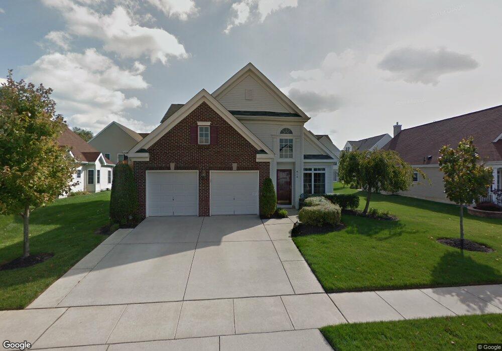
410 Stuart Ct West Deptford, NJ 08086
West Deptford Township NeighborhoodEstimated Value: $444,180 - $538,000
--
Bed
--
Bath
2,371
Sq Ft
$207/Sq Ft
Est. Value
About This Home
This home is located at 410 Stuart Ct, West Deptford, NJ 08086 and is currently estimated at $491,295, approximately $207 per square foot. 410 Stuart Ct is a home located in Gloucester County with nearby schools including Green-Fields Elementary School, Red Bank Elementary School, and Oakview Elementary School.
Ownership History
Date
Name
Owned For
Owner Type
Purchase Details
Closed on
Sep 30, 2004
Sold by
D R Horton Inc New Jersey
Bought by
Smith William J and Smith Margaret A
Current Estimated Value
Home Financials for this Owner
Home Financials are based on the most recent Mortgage that was taken out on this home.
Original Mortgage
$165,000
Outstanding Balance
$86,221
Interest Rate
6.6%
Mortgage Type
Purchase Money Mortgage
Estimated Equity
$405,074
Purchase Details
Closed on
Mar 1, 2004
Sold by
Lentz Erma E
Bought by
D R Horton Inc
Create a Home Valuation Report for This Property
The Home Valuation Report is an in-depth analysis detailing your home's value as well as a comparison with similar homes in the area
Home Values in the Area
Average Home Value in this Area
Purchase History
| Date | Buyer | Sale Price | Title Company |
|---|---|---|---|
| Smith William J | $267,390 | Title America Agency | |
| D R Horton Inc | -- | -- |
Source: Public Records
Mortgage History
| Date | Status | Borrower | Loan Amount |
|---|---|---|---|
| Open | Smith William J | $165,000 |
Source: Public Records
Tax History Compared to Growth
Tax History
| Year | Tax Paid | Tax Assessment Tax Assessment Total Assessment is a certain percentage of the fair market value that is determined by local assessors to be the total taxable value of land and additions on the property. | Land | Improvement |
|---|---|---|---|---|
| 2025 | $9,240 | $264,600 | $59,400 | $205,200 |
| 2024 | $9,121 | $264,600 | $59,400 | $205,200 |
| 2023 | $9,121 | $264,600 | $59,400 | $205,200 |
| 2022 | $9,078 | $264,600 | $59,400 | $205,200 |
| 2021 | $9,047 | $264,600 | $59,400 | $205,200 |
| 2020 | $9,026 | $264,600 | $59,400 | $205,200 |
| 2019 | $8,774 | $264,600 | $59,400 | $205,200 |
| 2018 | $8,536 | $264,600 | $59,400 | $205,200 |
| 2017 | $8,338 | $264,600 | $59,400 | $205,200 |
| 2016 | $8,105 | $264,600 | $59,400 | $205,200 |
| 2015 | $7,721 | $264,600 | $59,400 | $205,200 |
| 2014 | $7,337 | $264,600 | $59,400 | $205,200 |
Source: Public Records
Map
Nearby Homes
- 1091 Buckingham Dr Unit 45
- 1066 Buckingham Dr
- 1012 Moore Rd Unit 6
- 12 Highbridge Ln Unit I2
- 125 Lionheart Ln Unit C125
- 640 Worcester Dr
- 16 Maplewood Ct
- 87 Woodway Dr Unit 87
- 863 Doncaster Dr
- 94 Aviary Rd
- 296 Ogden Station Rd
- 14 Aviary Rd
- 1220 Royal Ln
- 90 Ginger Dr
- 740 Carter Hill Dr
- 1102 Barnesdale Rd
- 17 Higginsville Ln
- 10 Meadow Ln
- 51 Holly Dr
- 1311 Barnesdale Rd