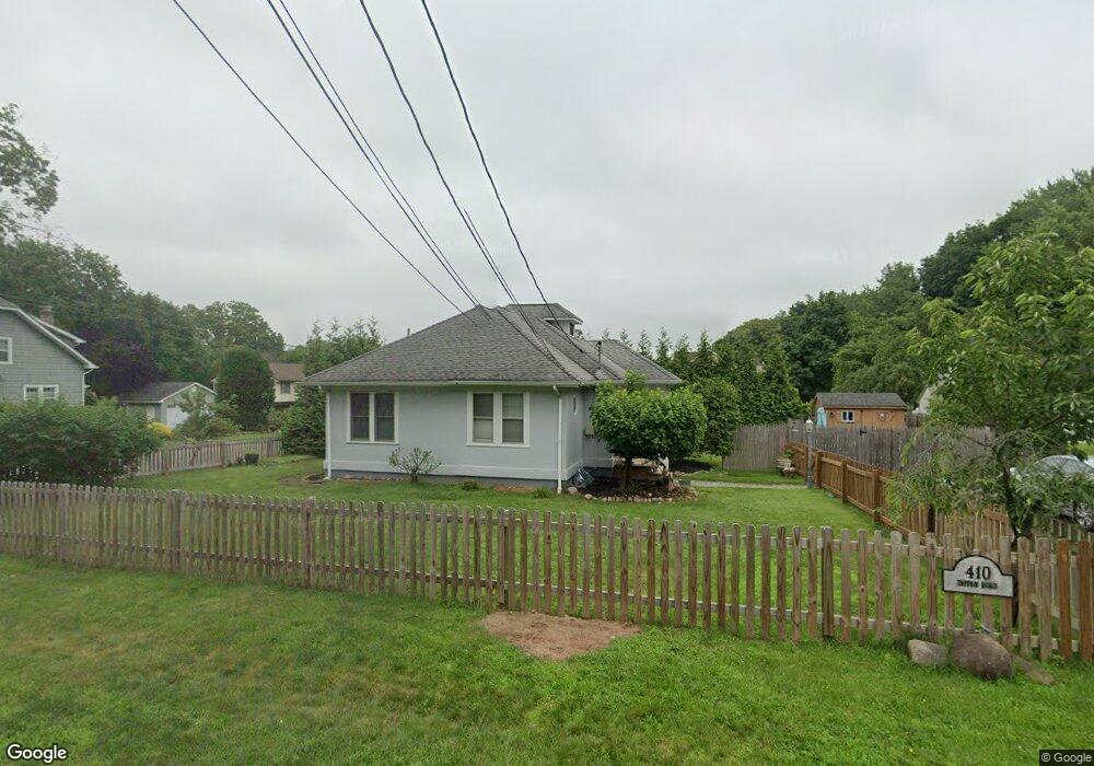
410 Tappan Rd Norwood, NJ 07648
Estimated Value: $664,159 - $677,000
2
Beds
2
Baths
1,078
Sq Ft
$621/Sq Ft
Est. Value
About This Home
This home is located at 410 Tappan Rd, Norwood, NJ 07648 and is currently estimated at $669,790, approximately $621 per square foot. 410 Tappan Rd is a home located in Bergen County with nearby schools including Norwood Public School and Northern Valley Regional High School at Old Tappan.
Ownership History
Date
Name
Owned For
Owner Type
Purchase Details
Closed on
Dec 13, 2018
Sold by
Brodie Lori-Ann
Bought by
Muth Daniel R
Current Estimated Value
Purchase Details
Closed on
Dec 15, 2004
Purchase Details
Closed on
May 23, 1997
Sold by
Lanzana Thomas
Bought by
Brodie Bruce D and Brodie Lori Ann
Home Financials for this Owner
Home Financials are based on the most recent Mortgage that was taken out on this home.
Original Mortgage
$64,000
Interest Rate
8.09%
Create a Home Valuation Report for This Property
The Home Valuation Report is an in-depth analysis detailing your home's value as well as a comparison with similar homes in the area
Home Values in the Area
Average Home Value in this Area
Purchase History
| Date | Buyer | Sale Price | Title Company |
|---|---|---|---|
| Muth Daniel R | $350,000 | -- | |
| -- | -- | -- | |
| Brodie Bruce D | $120,000 | -- |
Source: Public Records
Mortgage History
| Date | Status | Borrower | Loan Amount |
|---|---|---|---|
| Previous Owner | Brodie Bruce D | $64,000 |
Source: Public Records
Tax History Compared to Growth
Tax History
| Year | Tax Paid | Tax Assessment Tax Assessment Total Assessment is a certain percentage of the fair market value that is determined by local assessors to be the total taxable value of land and additions on the property. | Land | Improvement |
|---|---|---|---|---|
| 2025 | $9,050 | $329,200 | $264,100 | $65,100 |
| 2024 | $8,707 | $329,200 | $264,100 | $65,100 |
| 2023 | $8,507 | $329,200 | $264,100 | $65,100 |
| 2022 | $8,507 | $329,200 | $264,100 | $65,100 |
| 2021 | $8,477 | $329,200 | $264,100 | $65,100 |
| 2020 | $8,286 | $329,200 | $264,100 | $65,100 |
| 2019 | $8,046 | $329,200 | $264,100 | $65,100 |
| 2018 | $8,039 | $329,200 | $264,100 | $65,100 |
| 2017 | $8,000 | $329,200 | $264,100 | $65,100 |
| 2016 | $7,815 | $329,200 | $264,100 | $65,100 |
| 2015 | $7,509 | $329,200 | $264,100 | $65,100 |
| 2014 | $7,423 | $329,200 | $264,100 | $65,100 |
Source: Public Records
Map
Nearby Homes
- 280 Rockland Ave
- 402 Tappan Rd
- 276 Rockland Ave
- 420 Tappan Rd
- 409 Tappan Rd
- 409 Tappan Rd Unit 1
- 409 Tappan Rd Unit 2
- 409 Tappan Rd Unit First Floor
- 405 Tappan Rd
- 277 Rockland Ave
- 274 Rockland Ave
- 430 Tappan Rd
- 415 Tappan Rd
- 272 Rockland Ave
- 4 Kenyon Ct
- 275 Rockland Ave
- 4 Garnett Place
- 386 Tappan Rd
- 434 Tappan Rd
- 264 Rockland Ave