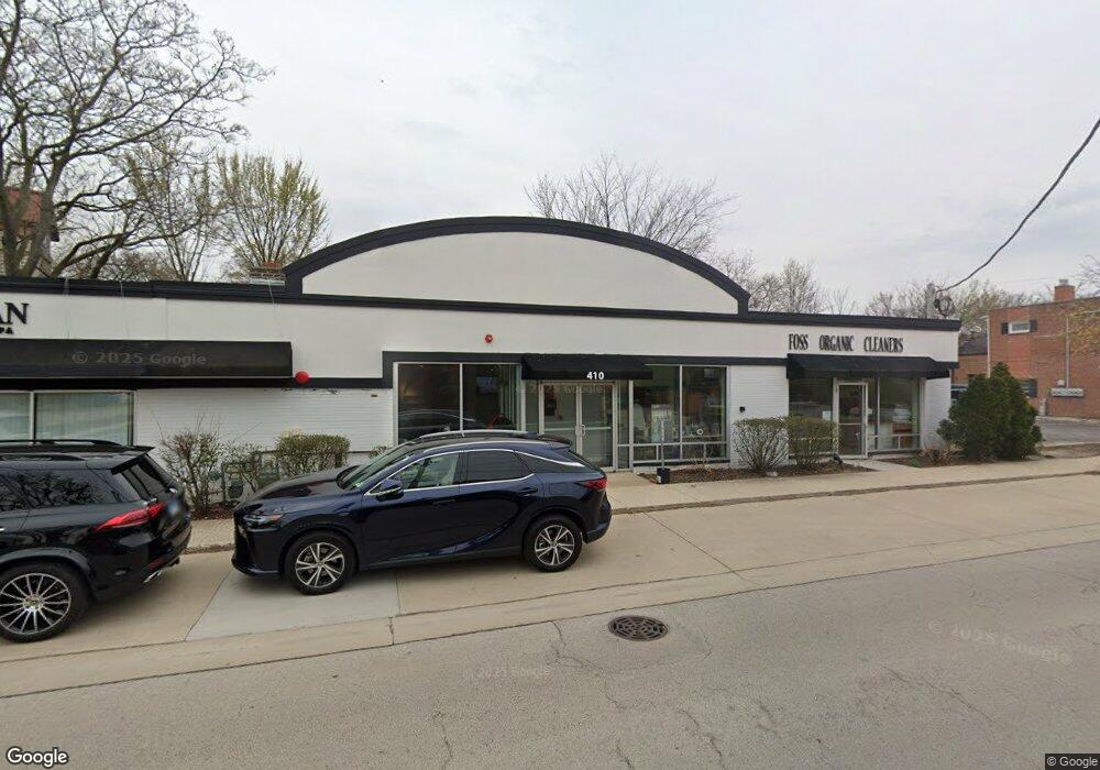
410 W Chestnut St Hinsdale, IL 60521
Downtown Hinsdale Neighborhood
--
Bed
--
Bath
2,951
Sq Ft
3,485
Sq Ft Lot
About This Home
This home is located at 410 W Chestnut St, Hinsdale, IL 60521. 410 W Chestnut St is a home located in DuPage County with nearby schools including Monroe Elementary School, Clarendon Hills Middle School, and Hinsdale Central High School.
Ownership History
Date
Name
Owned For
Owner Type
Purchase Details
Closed on
Dec 23, 2014
Sold by
Anchor Properties Inc
Bought by
Capa Holdings Llc 410 Chestnut St Llc
Purchase Details
Closed on
Mar 24, 2004
Sold by
Boyd Betty Jane
Bought by
410 Chestnut Llc
Home Financials for this Owner
Home Financials are based on the most recent Mortgage that was taken out on this home.
Original Mortgage
$768,750
Interest Rate
5.65%
Mortgage Type
Commercial
Purchase Details
Closed on
Mar 1, 2004
Sold by
Soukup Henry L
Bought by
410 Chestnut Llc
Home Financials for this Owner
Home Financials are based on the most recent Mortgage that was taken out on this home.
Original Mortgage
$768,750
Interest Rate
5.65%
Mortgage Type
Commercial
Create a Home Valuation Report for This Property
The Home Valuation Report is an in-depth analysis detailing your home's value as well as a comparison with similar homes in the area
Home Values in the Area
Average Home Value in this Area
Purchase History
| Date | Buyer | Sale Price | Title Company |
|---|---|---|---|
| Capa Holdings Llc 410 Chestnut St Llc | -- | None Available | |
| 410 Chestnut Llc | $183,500 | Atg | |
| 410 Chestnut Llc | -- | Atg | |
| 410 Chestnut Llc | -- | Atg | |
| 410 Chestnut Llc | -- | Atg |
Source: Public Records
Mortgage History
| Date | Status | Borrower | Loan Amount |
|---|---|---|---|
| Previous Owner | 410 Chestnut Llc | $768,750 |
Source: Public Records
Tax History Compared to Growth
Tax History
| Year | Tax Paid | Tax Assessment Tax Assessment Total Assessment is a certain percentage of the fair market value that is determined by local assessors to be the total taxable value of land and additions on the property. | Land | Improvement |
|---|---|---|---|---|
| 2024 | $8,790 | $169,550 | $78,190 | $91,360 |
| 2023 | $9,100 | $169,430 | $71,880 | $97,550 |
| 2022 | $8,225 | $156,880 | $66,560 | $90,320 |
| 2021 | $7,927 | $155,090 | $65,800 | $89,290 |
| 2020 | $7,750 | $152,020 | $64,500 | $87,520 |
| 2019 | $7,760 | $145,870 | $61,890 | $83,980 |
| 2018 | $7,129 | $138,920 | $58,940 | $79,980 |
| 2017 | $6,876 | $133,680 | $56,720 | $76,960 |
| 2016 | $6,750 | $127,580 | $54,130 | $73,450 |
| 2015 | $6,728 | $120,030 | $50,930 | $69,100 |
| 2014 | $6,780 | $116,700 | $49,520 | $67,180 |
| 2013 | $6,648 | $116,160 | $49,290 | $66,870 |
Source: Public Records
Map
Nearby Homes
- 125 S Madison St
- 28 S Clay St
- 14 S Thurlow St
- 216 S Madison St
- 123 N Vine St
- 118 N Grant St
- 117 N Monroe St
- 443 S Clay St
- 21 S Bruner St
- 530 W 6th St
- 210 W Hickory St
- 11S110 LOT Madison St
- 626 S Bodin St
- 608 S Quincy St
- 415 N Adams St
- 722 S Bruner St
- 6 S Elm St
- 539 Kensington Ct
- 527 Kensington Ct
- 246 N Jackson Rd