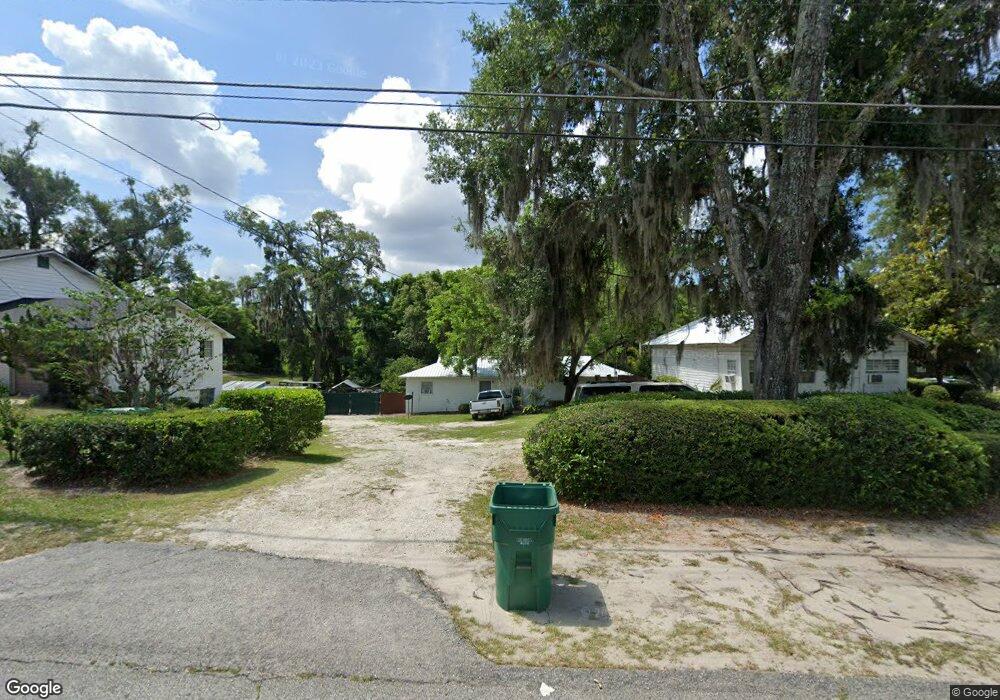
410 W Euclid Ave Deland, FL 32720
Estimated Value: $229,000 - $330,000
5
Beds
2
Baths
2,303
Sq Ft
$120/Sq Ft
Est. Value
About This Home
This home is located at 410 W Euclid Ave, Deland, FL 32720 and is currently estimated at $277,038, approximately $120 per square foot. 410 W Euclid Ave is a home located in Volusia County with nearby schools including Edith I. Starke Elementary School, Deland High School, and Southwestern Middle School.
Ownership History
Date
Name
Owned For
Owner Type
Purchase Details
Closed on
Sep 13, 2024
Sold by
Butler Charles O
Bought by
Butler Charles O and Butler Vera W
Current Estimated Value
Purchase Details
Closed on
Jan 16, 2009
Sold by
Watson Lawrence J
Bought by
Nealy Darrin L
Purchase Details
Closed on
Nov 15, 1991
Bought by
Butler Charles O
Purchase Details
Closed on
Mar 15, 1989
Bought by
Butler Charles O
Create a Home Valuation Report for This Property
The Home Valuation Report is an in-depth analysis detailing your home's value as well as a comparison with similar homes in the area
Home Values in the Area
Average Home Value in this Area
Purchase History
| Date | Buyer | Sale Price | Title Company |
|---|---|---|---|
| Butler Charles O | $100 | None Listed On Document | |
| Nealy Darrin L | -- | Attorney | |
| Butler Charles O | $100 | -- | |
| Butler Charles O | $100 | -- |
Source: Public Records
Tax History Compared to Growth
Tax History
| Year | Tax Paid | Tax Assessment Tax Assessment Total Assessment is a certain percentage of the fair market value that is determined by local assessors to be the total taxable value of land and additions on the property. | Land | Improvement |
|---|---|---|---|---|
| 2025 | $3,119 | $290,845 | $48,017 | $242,828 |
| 2024 | $3,119 | $294,201 | $48,017 | $246,184 |
| 2023 | $3,119 | $263,927 | $27,167 | $236,760 |
| 2022 | $2,878 | $238,872 | $27,167 | $211,705 |
| 2021 | $2,643 | $189,415 | $21,481 | $167,934 |
| 2020 | $2,397 | $168,789 | $14,531 | $154,258 |
| 2019 | $2,270 | $152,455 | $12,004 | $140,451 |
| 2018 | $1,971 | $110,437 | $10,109 | $100,328 |
| 2017 | $1,761 | $85,718 | $9,461 | $76,257 |
| 2016 | $1,494 | $65,045 | $0 | $0 |
| 2015 | $1,512 | $69,583 | $0 | $0 |
| 2014 | $1,353 | $55,834 | $0 | $0 |
Source: Public Records
Map
Nearby Homes
- 430 S Parsons Ave
- 534 S Adelle Ave
- 406 S Delaware Ave
- 526 W Hubbard Ave
- 647 S Delaware Ave
- 624 W Euclid Ave
- 221 W Euclid Ave
- 205 W Division St
- 709 S Parsons Ave
- 632 W Hubbard Ave
- 736 S Stone St
- 134 S Julia Ave
- 217 W Chelsea St
- 409 W Beresford Ave
- 536 W Hubbard Ave
- 706 W Franklin Ave
- 808 S Clara Ave
- 800 W Hubbard Ave
- 247 S Marydell Ave
- 138 W Volusia Ave
- 406 W Euclid Ave
- 502 S Thompson Ave
- 400 W Euclid Ave
- 506 S Delaware Ave
- 512 S Thompson Ave
- 521 S Thompson Ave
- 508 S Delaware Ave
- 405 W Euclid Ave
- 523 S Thompson Ave
- 514 S Thompson Ave
- 510 S Delaware Ave
- 589 S Thompson Ave
- 526 S Thompson Ave
- 514 S Delaware Ave
- 416 W Euclid Ave
- 336 W Euclid Ave
- 503 S Adelle Ave
- 511 S Adelle Ave
- 524 S Delaware Ave
- 343 W Euclid Ave