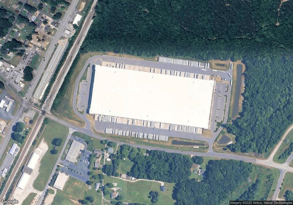
410 Webb Rd Unit 2 Salisbury, NC 28147
Estimated Value: $1,963,470
Studio
1
Bath
673,920
Sq Ft
$3/Sq Ft
Est. Value
About This Home
This home is located at 410 Webb Rd Unit 2, Salisbury, NC 28147 and is currently priced at $1,963,470, approximately $2 per square foot. 410 Webb Rd Unit 2 is a home located in Rowan County with nearby schools including China Grove Elementary School, Southeast Middle School, and Jesse C Carson High School.
Ownership History
Date
Name
Owned For
Owner Type
Purchase Details
Closed on
Sep 1, 2021
Sold by
Myers Willis Wade and Myers Sybil L
Bought by
Np 185 Commerce Center Industrial Llc
Current Estimated Value
Purchase Details
Closed on
Aug 4, 2016
Sold by
Fesperman Sharon and Myers Willis Wade
Bought by
Fesperman Sharon and Myers Willis Wade
Purchase Details
Closed on
Feb 1, 1986
Bought by
Myers Nellie Louise
Create a Home Valuation Report for This Property
The Home Valuation Report is an in-depth analysis detailing your home's value as well as a comparison with similar homes in the area
Purchase History
| Date | Buyer | Sale Price | Title Company |
|---|---|---|---|
| Np 185 Commerce Center Industrial Llc | $1,720,000 | None Available | |
| Np 185 Commerce Center Industrial Llc | -- | None Available | |
| Fesperman Sharon | -- | None Available | |
| Myers Nellie Louise | -- | -- |
Source: Public Records
Tax History
| Year | Tax Paid | Tax Assessment Tax Assessment Total Assessment is a certain percentage of the fair market value that is determined by local assessors to be the total taxable value of land and additions on the property. | Land | Improvement |
|---|---|---|---|---|
| 2025 | $287,308 | $42,881,847 | $2,287,350 | $40,594,497 |
| 2024 | $287,154 | $42,858,807 | $2,287,350 | $40,571,457 |
| 2023 | $287,154 | $42,858,807 | $2,287,350 | $40,571,457 |
| 2022 | $9,915 | $1,326,439 | $1,326,439 | $0 |
| 2021 | $1,026 | $138,604 | $49,740 | $88,864 |
| 2020 | $1,036 | $138,604 | $49,740 | $88,864 |
| 2019 | $1,026 | $138,604 | $49,740 | $88,864 |
| 2018 | $919 | $681,609 | $605,273 | $76,336 |
| 2017 | $919 | $681,609 | $605,273 | $76,336 |
| 2016 | $543 | $681,609 | $605,273 | $76,336 |
| 2015 | $552 | $681,609 | $605,273 | $76,336 |
| 2014 | $555 | $638,358 | $558,681 | $79,677 |
Source: Public Records
Map
Nearby Homes
- 5650 Bertie Ave
- 355 Swink Ave
- 6255 Meadow Ln
- 1080 Beckham Rd
- 1060 Beckham Rd
- 0 Brookfield Cir Unit CAR4292885
- 620 Mount Hope Church Rd
- 735 Grace Church Rd
- 1352 Eva Ln
- 1140 Peeler Rd
- 1675 N Main St
- 228 Hollybrook Ct
- 450 Black Bear St Unit 149p
- 460 Black Bear St Unit 148p
- 410 Black Bear St Unit 153p
- 465 Black Bear St Unit 156p
- 1395 Safrit Rd
- 555 White Hare Ln Unit 80p
- 491 White Hare Ln Unit 75
- 130 Lois Ln
Your Personal Tour Guide
Ask me questions while you tour the home.