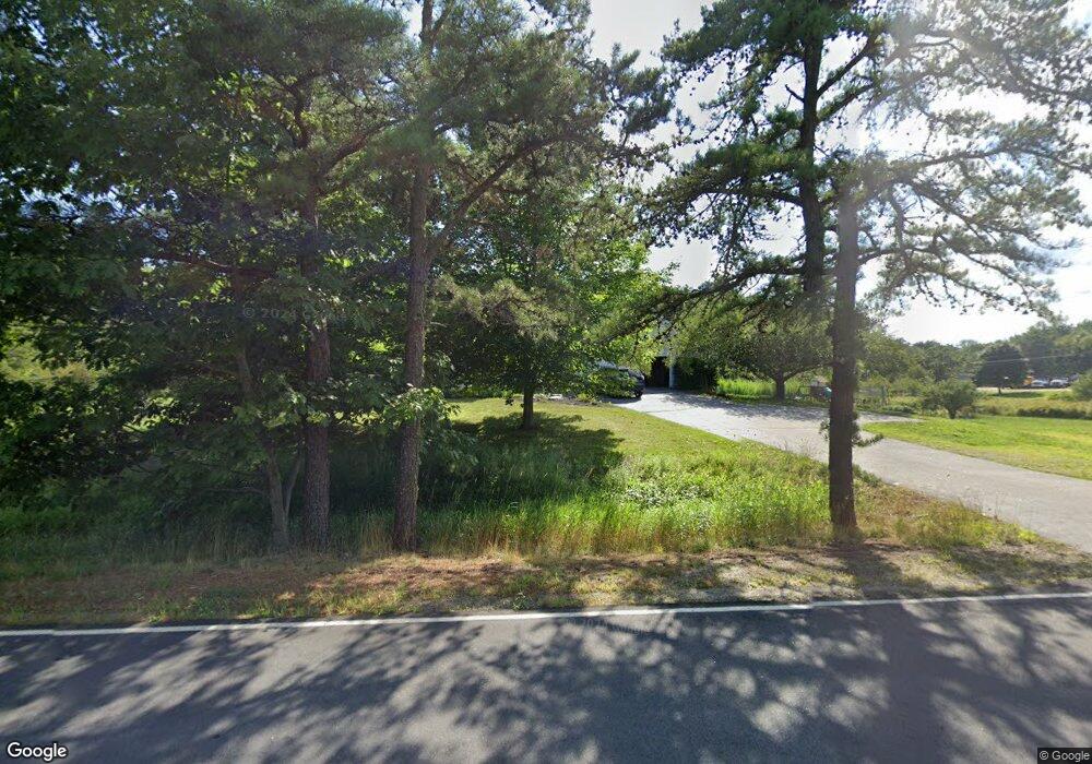
410 West St Biddeford, ME 04005
South Biddeford NeighborhoodEstimated Value: $665,000 - $789,000
3
Beds
3
Baths
2,244
Sq Ft
$325/Sq Ft
Est. Value
About This Home
This home is located at 410 West St, Biddeford, ME 04005 and is currently estimated at $729,736, approximately $325 per square foot. 410 West St is a home located in York County with nearby schools including John F Kennedy Memorial School, Biddeford Primary School, and Biddeford Intermediate School.
Ownership History
Date
Name
Owned For
Owner Type
Purchase Details
Closed on
Apr 8, 2014
Sold by
Desjardin Steven and Desjardin Helen L
Bought by
Clark Gregory G and Clark Nichole R
Current Estimated Value
Home Financials for this Owner
Home Financials are based on the most recent Mortgage that was taken out on this home.
Original Mortgage
$279,750
Outstanding Balance
$209,448
Interest Rate
4.33%
Mortgage Type
New Conventional
Estimated Equity
$520,288
Create a Home Valuation Report for This Property
The Home Valuation Report is an in-depth analysis detailing your home's value as well as a comparison with similar homes in the area
Home Values in the Area
Average Home Value in this Area
Purchase History
| Date | Buyer | Sale Price | Title Company |
|---|---|---|---|
| Clark Gregory G | -- | -- |
Source: Public Records
Mortgage History
| Date | Status | Borrower | Loan Amount |
|---|---|---|---|
| Open | Clark Gregory G | $279,750 |
Source: Public Records
Tax History
| Year | Tax Paid | Tax Assessment Tax Assessment Total Assessment is a certain percentage of the fair market value that is determined by local assessors to be the total taxable value of land and additions on the property. | Land | Improvement |
|---|---|---|---|---|
| 2025 | $8,059 | $539,400 | $180,400 | $359,000 |
| 2024 | $7,633 | $536,800 | $180,400 | $356,400 |
| 2023 | $7,001 | $533,600 | $177,200 | $356,400 |
| 2022 | $7,319 | $446,000 | $121,000 | $325,000 |
| 2021 | $6,829 | $374,600 | $102,800 | $271,800 |
| 2020 | $6,765 | $337,400 | $89,300 | $248,100 |
| 2019 | $6,741 | $337,400 | $89,300 | $248,100 |
| 2018 | $6,647 | $337,400 | $89,300 | $248,100 |
| 2017 | $6,595 | $328,600 | $89,300 | $239,300 |
| 2016 | $6,526 | $328,600 | $89,300 | $239,300 |
| 2015 | $6,398 | $328,600 | $89,300 | $239,300 |
| 2014 | $6,050 | $328,600 | $89,300 | $239,300 |
| 2013 | -- | $321,700 | $80,200 | $241,500 |
Source: Public Records
Map
Nearby Homes
- 0 Newtown Rd
- 400 West St
- 13 Benson
- 700 Pool St
- 3 Scadlock Mill Rd
- 10 Tow Rd
- 88-90 Old Pool Rd
- 6 Proctor Rd Unit B
- 6 Proctor Rd Unit A
- 1 Willow Ridge
- Lot 4 Longboard Ln
- Lot 3 Longboard Ln
- Lot 1 Longboard Ln
- Lot 6 Longboard Ln
- Lot 7 Longboard Ln
- 9 Windward Ridge
- Lot 2 Longboard Ln
- 8 Days Landing
- 650 Pool St
- 625 Pool St
Your Personal Tour Guide
Ask me questions while you tour the home.